Pagosa Springs to Monarch Pass.
Days 53 to 58.
CDT miles 866 to 1084.
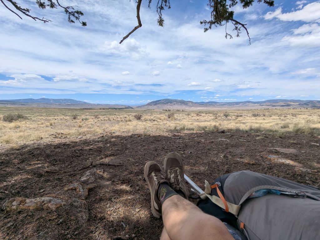
After Pagosa Springs (Wolf Creek Pass), the Continental Divide Trail continues through the San Juans and enters the Weminuche Wilderness. This is a high area where the trail rarely drops below 11,000 feet above sea level for over 100 miles. An alternate called the Creede Cut-off avoids the high elevations and cuts significant mileage, but misses some of the most rugged and high parts of the CDT. Beyond the Weminuche Wilderness, the trail drops into a wide, relatively flat valley of open rangeland around 9,500 feet. The segment ends at Monarch Pass at the beginning of the next large mountain range – the Collegiates.
Day 53
Today I woke up in Reno, NV at 4:00 am. Reno is a trail town, just not for the trail I’m currently thru-hiking. For the last two and a half weeks, I’ve enjoyed some time here while waiting for more snow to melt on the CDT.
I flew into Durango. My friend and former neighbor during college, Van, picked me up at the airport. He provided some trail magic for me in the form of a ride back up to Wolf Creek Pass. We stopped in Pagosa Springs, where I retrieved my ice ax and spikes that I’d stashed at the outfitter. We even picked up another thru-hiker hitching back to the trail from town. I felt that seeing another hiker heading to the trail was a good sign. When I got off the trail two and a half weeks ago, I hadn’t seen another hiker for 5 days.
I picked up on the CDT right where I’d left off two and a half weeks ago. It was like no time had gone by! But my body could tell I’d been away from the trail. It seemed I’d lost my adjustment to the altitude during my time off the trail. I panted on my long, uphill climb into the mountains.
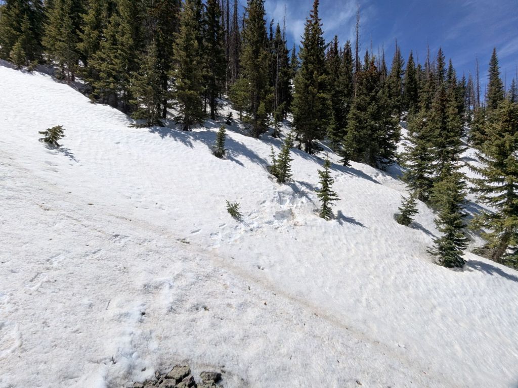
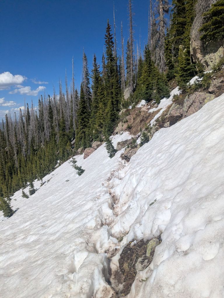
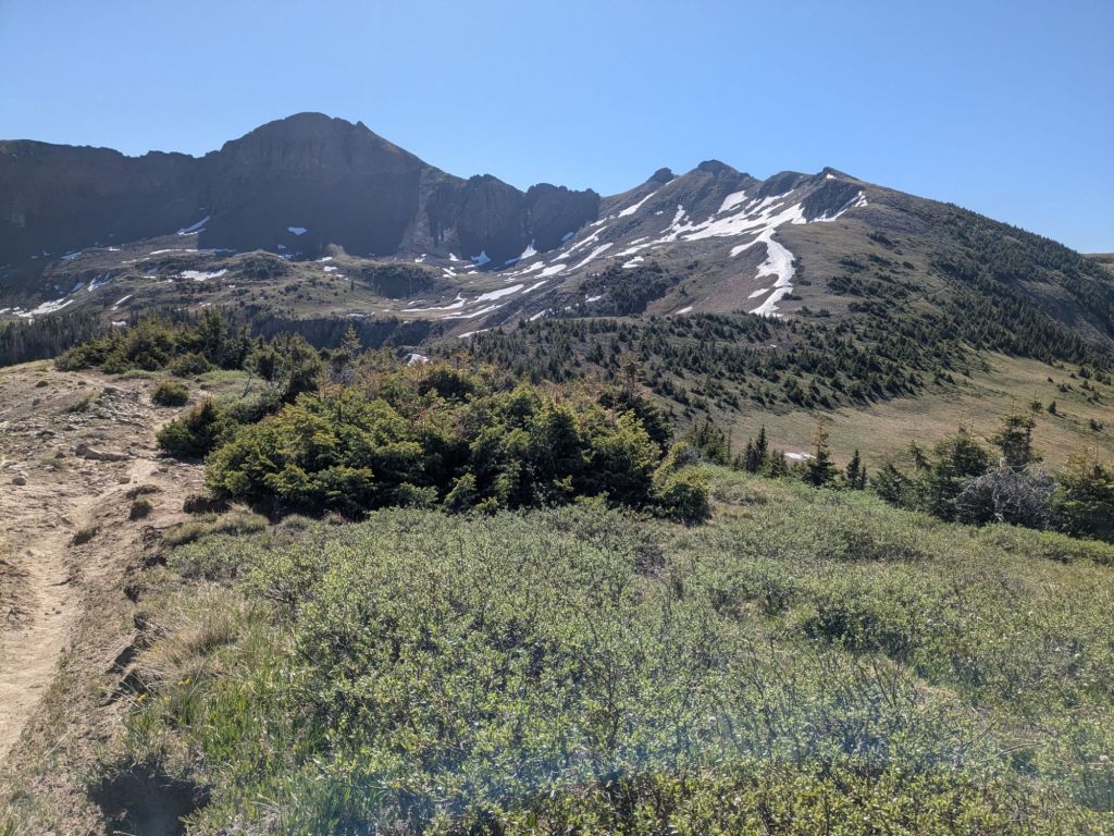
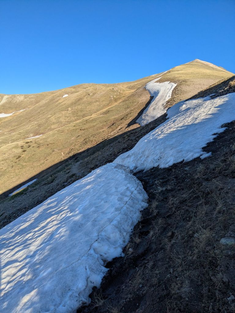
Right away I could tell there was way less snow! The mountains behind the ski area at Wolf Creek Pass, which had been pretty socked in when I left, now only held snowfields on some of the steepest north-facing slopes. When I’d left, nearly all north and east-facing slopes were covered in snow, at the higher elevations.
I crossed through a little snow during the walk, but mostly the trail was dry. I passed by a few beautiful alpine lakes, and finally stopped at one to camp.
In a stunning turn of events, I camped in a group of 10 thru-hikers this evening! Up until now, I’d spent nearly every night camping alone. I’m grateful for the company and have a lot of new trail names to learn. Though some names, like “Mr. Trash Lobster” and “Johnny Condom” are hard to forget.
Day 54
It was very windy overnight, but I think what kept me awake was not the wind, but the altitude. Turns out waking at 4,000 feet after a short night of sleep, two flights, 10 miles of hiking, and then going to bed at almost 12,000 feet is a recipe for altitude sickness.
Overnight I came down with a headache and nausea. By morning, the thought of eating breakfast nearly made me dry heave. I choked down a little water and electrolytes. While I’d been acclimatized to this elevation when I got off trail in May, my body wasn’t used to it anymore. I hoped I would re-acclimatize quickly as I walked today.
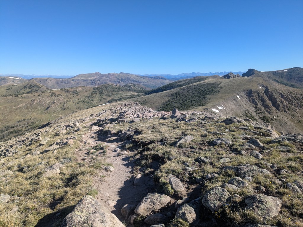
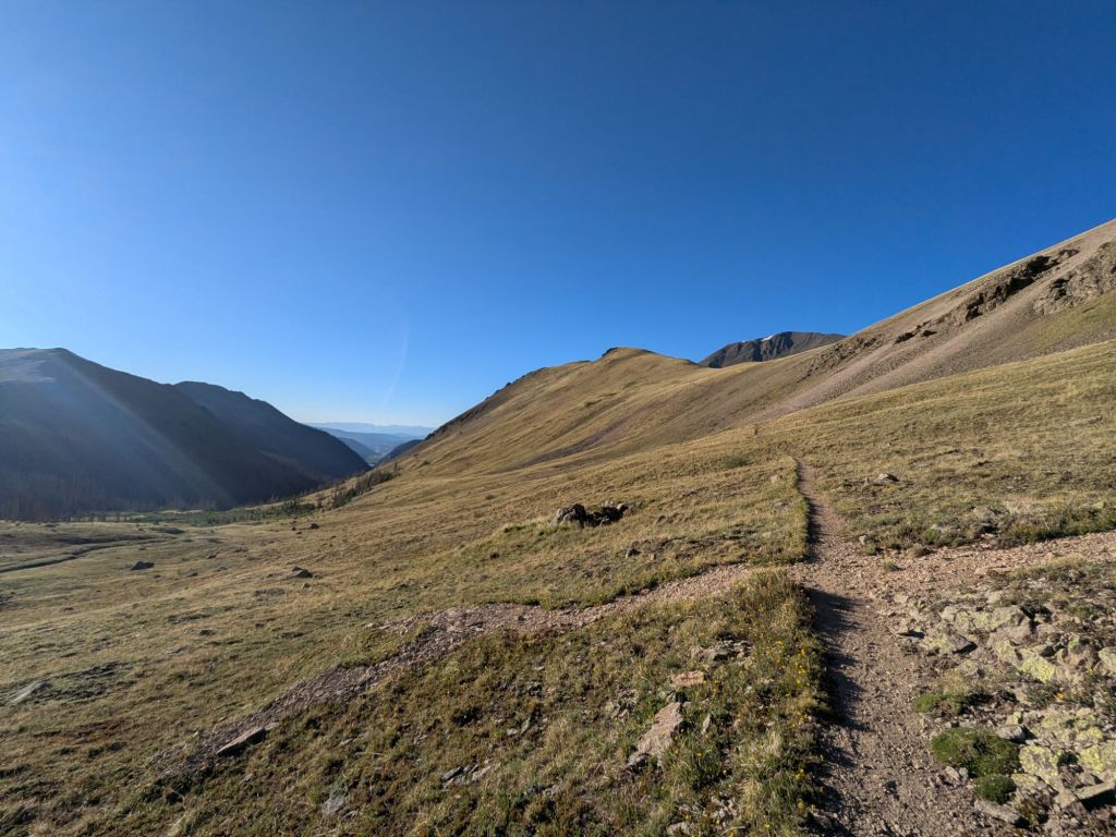
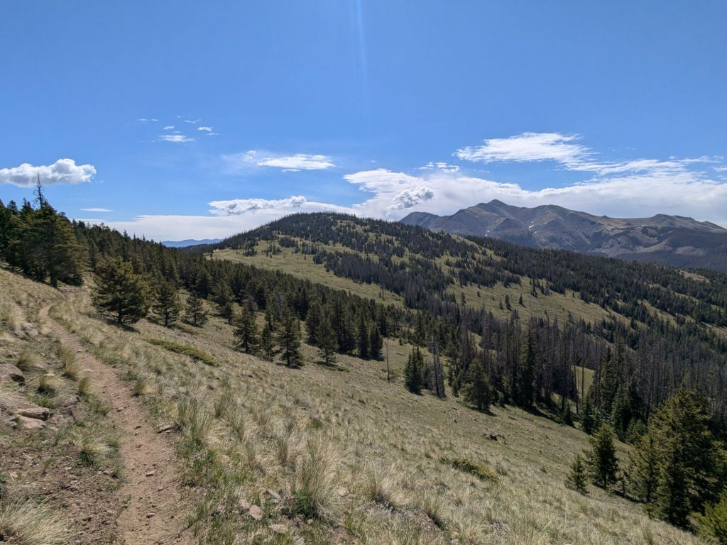
My morning started with a short climb up from the lake to a pass on the shoulder of Mt Hope, then I began following a high-elevation, treeless ridge. It was absolutely breathtaking! And not just because the air is thin up here. It was one of the most stunning areas of this trail so far. I trudged along, trying to enjoy the view even while feeling like I was breathing through a straw.

Of the group I camped with last night, about half were planning to take the Creede Cut-off – a lower elevation alternate route that avoids most of the South San Juans. People take this alt for a variety of reasons – for example, to avoid deep or steep-angle snow, to shorten their hike, or to avoid being above treeline in poor weather conditions.
I’d hoped and planned to take the official CDT through this part of the San Juan Range. One of the reasons I’d taken two and a half weeks off was to wait for snow to melt in this area so I could take the official CDT. But as I neared the junction with the Creede Cut-off, it became clear to me that my altitude-related symptoms were not going away. I felt defeated and turned onto the lower, shorter route.
I’m really, really sad to miss some beautiful high-elevation parts of the trail, but relieved to have the option to ease back into hiking at high elevation more gradually. And the idea of getting warmed up on an easier route with potential new friends feels like an alright alternative.
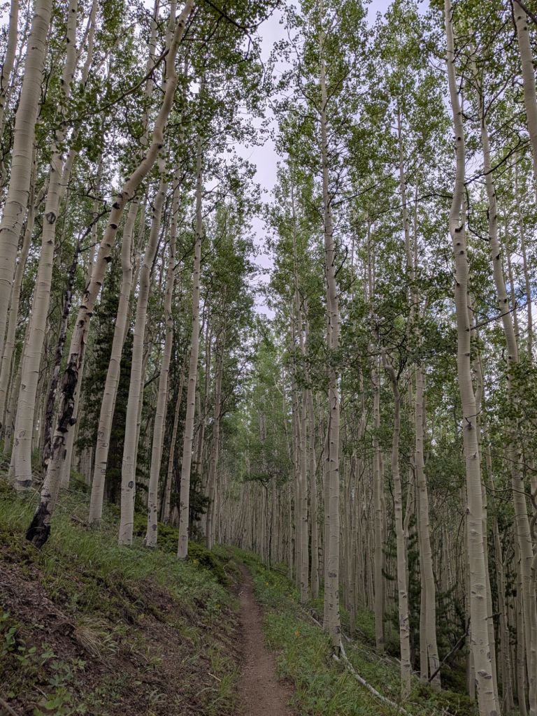
The first part of the alt route was ok. I dropped in elevation and gradually felt less nauseous, though my appetite was still gone. A highlight of the day was walking through a live forest! Since just past Ghost Ranch, NM, all the forests have been dead or dying. This is due to pine beetles, which bore into and feed on a tree’s inner bark and phloem, eventually cutting off the tree’s ability to transport nutrients and killing it.
I camped much lower tonight. Below 10,000 feet. I camped with one of the hikers I met yesterday. That makes two nights in a row camping not alone! What a novelty on the CDT!
Day 55
It was surprisingly cold overnight, even at the “low” elevation of 9,000-some feet. I slept poorly and woke up to find frozen condensation all over my gear and sleeping bag. I pulled my wool headband down over my eyes and went back to sleep until the sun was high in the sky and the frost thawed and evaporated.
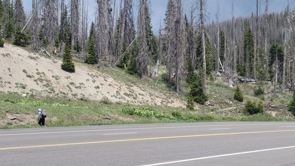
My morning miles started on trails going downhill through a valley. But soon, I was deposited onto dirt and paved roads on the outskirts of Creede, Colorado. Ugh. Another road walk.
All through New Mexico, I’d resented walking on roads and looked forward to the day I’d reach beautiful mountain trails in Colorado. Now, here I am, in Colorado, skipping some of the highest and most rugged miles of the trail to walk on a road.
I’ve been pretty down on myself since yesterday afternoon about taking the Creede Cut-off and missing part of the San Juans. Now that I’m at a lower elevation and feel a little better, I question if maybe I would have been fine and I’ve just missed something great for no reason.
I try to counter these thoughts by reminding myself that if I am still sad about missing the section later on, I could come back some other time. The CDT plus the Creede Cut-off together would make one sick 150-mile backpacking loop!
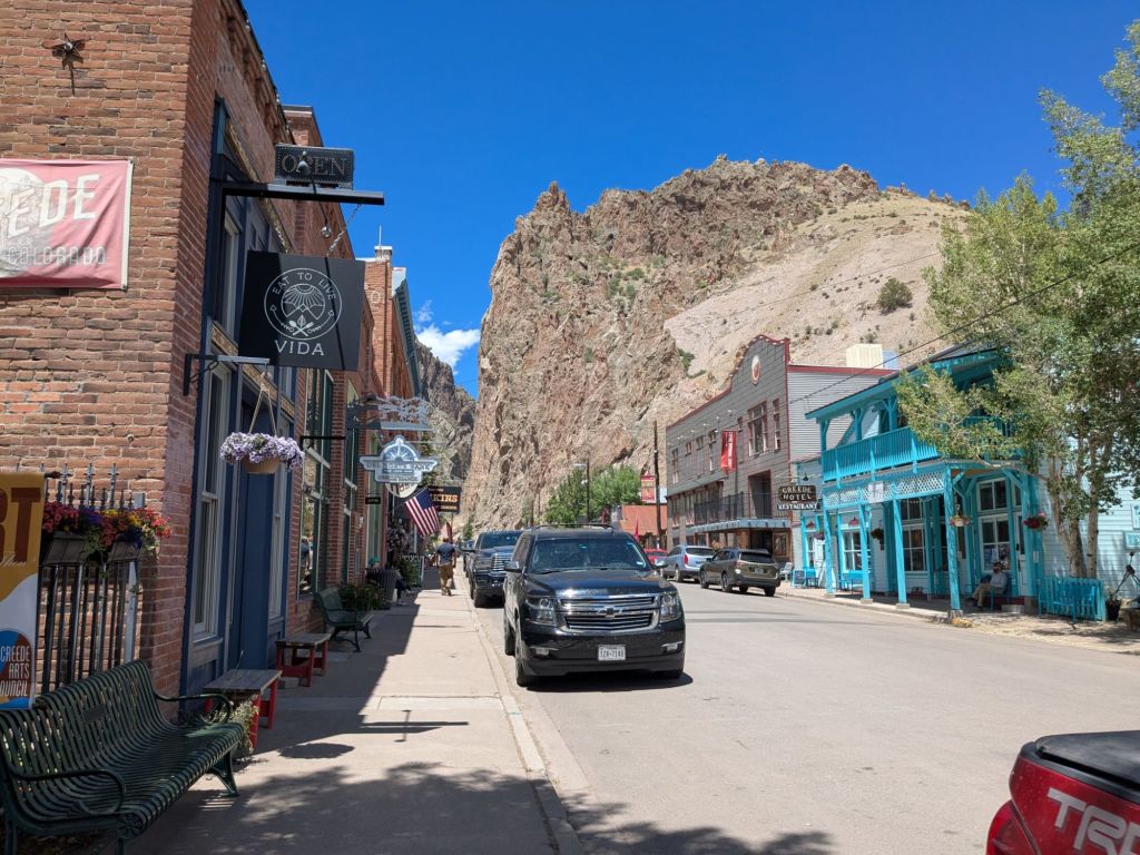
I reached the town of Creede. It’s a mountain town perched at the base of a dramatic canyon. As I walked down the cute main street, the scent of pancakes wafted out of a restaurant. Instead of making me hungry, the smell made me gag a little. My stomach is still not back to normal.
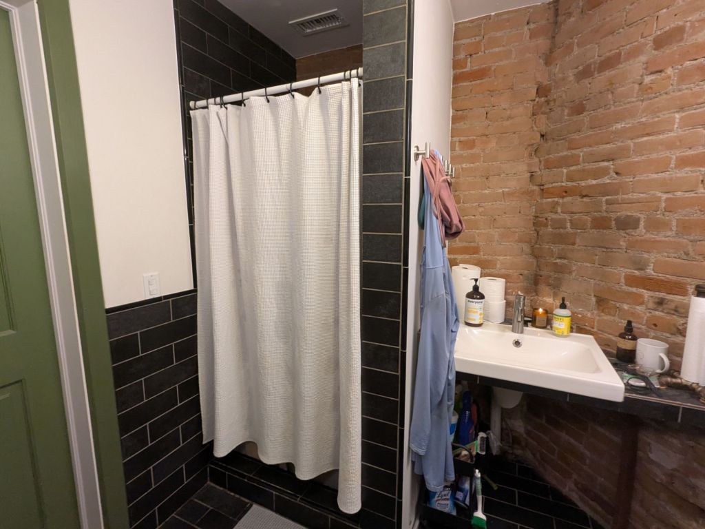
I didn’t really need anything from town. I’d left Wolf Creek Pass carrying nearly a week’s worth of food, since I’d hoped to take the official CDT rather than this alt. Even though I didn’t really need anything, I managed to kill almost three hours in town. I took a great shower at the outfitter. I drank a coffee and caught up on writing. I force-fed myself some lunch.
My spirits gradually improved on the walk out of town. I felt a little stronger too. The straw I’m breathing through felt more like a thick boba straw, rather than one of those teeny coffee-stir straws.
The route followed a low traffic gravel road for about 12 miles uphill to where it rejoins the Continental Divide Trail or “red line” as we hikers call it. My route rejoins the CDT at San Luis Pass (11,900 feet). There was hardly a cloud in the sky and the wind was blowing gently. As I climbed higher and the scenery grew more beautiful, I caught myself smiling. I realized I hadn’t smiled on this trail in a while.
San Luis Pass is more than just the point where I rejoin the red line. It is also where the trail becomes familiar to me. That’s because for the next few hundred miles, the route of the CDT overlaps the Colorado Trail. I hiked the whole Colorado Trail (CT) in 2016.
The last time I was at San Luis Pass, my CT hiking partner, Opie, and I were sitting atop the pass for a mid-day break. We were cooking hot lunches on our camp stoves – not a care in the world or a single worry over the miles we had left to hike that day or the storm clouds brewing in the distance. While we sat there, another CT hiker walked up. She was having a rough day and decided to take the long side trail down into Creede, for a night of rest.
I think about how now I’m the one who had a rough day walking into Creede. I attempted to channel the happy, care-free 21-year-old version of myself that sat on this pass back in 2016. I stopped on the pass where I’d sat 10 years ago, and made myself dinner with a view.
The evening miles were beautiful today. I crested a high saddle on the side of San Luis Peak. I didn’t linger up high for long though. After my last nauseous night near 12,000 feet, I’m eager to get as low as possible to camp.
Day 56
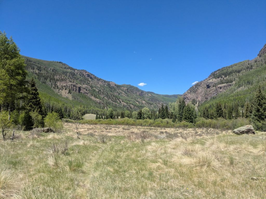
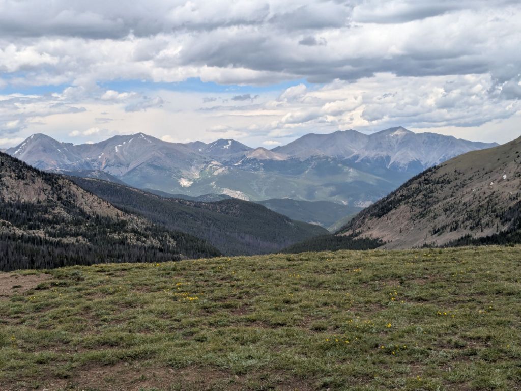
The day began with a long downhill leaving the San Juan Range. The next range is the Collegiates. But first, I must cross through a large, low-elevation, flat-ish area separating these two ranges.
When I hiked the Colorado Trail, I thought this low-elevation area was terribly boring and not scenic at all. But now, after hiking the CDT through some really flat and barren places in New Mexico, I have a newfound appreciation for this part of the trail. There are rolling hills and some trees, at least. It’s funny how my perspective has changed.
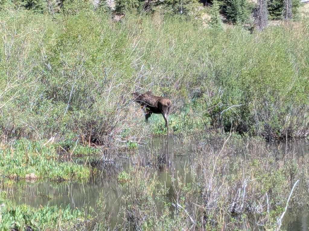
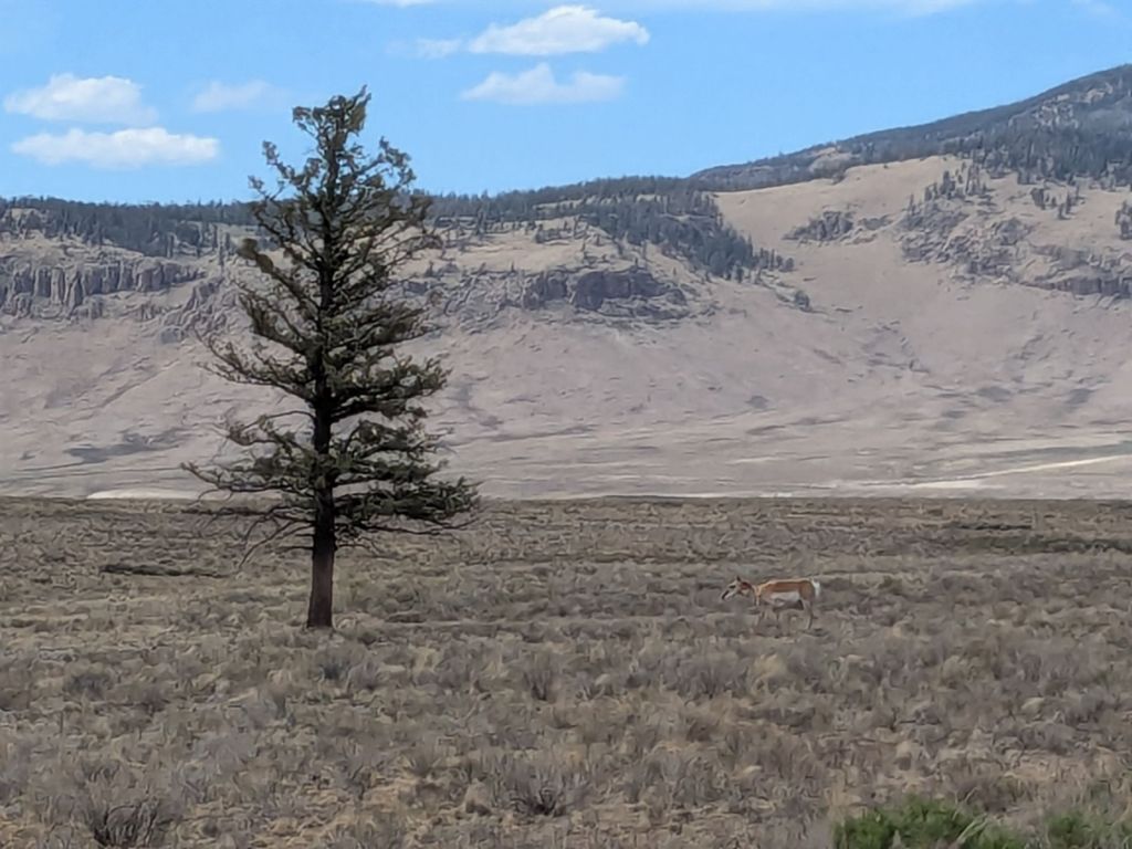
I also appreciated all the wildlife I saw in this area. Today, I saw a moose, a pronghorn, a falcon, a mountain bluebird, and prairie dogs.
I reached my planned campsite, only to find that it was completely covered in cow poop. Not so different from New Mexico. I decided to keep looking for a better site.
However, the trail soon joined a paved road and then a dirt road in a narrow valley. There were no camping options. I hiked miles further than I’d planned to, as it grew darker.
I reached the start of a short climb out of the valley on the road. There, I saw a handwritten sign propped against a tree. Trail magic ahead!
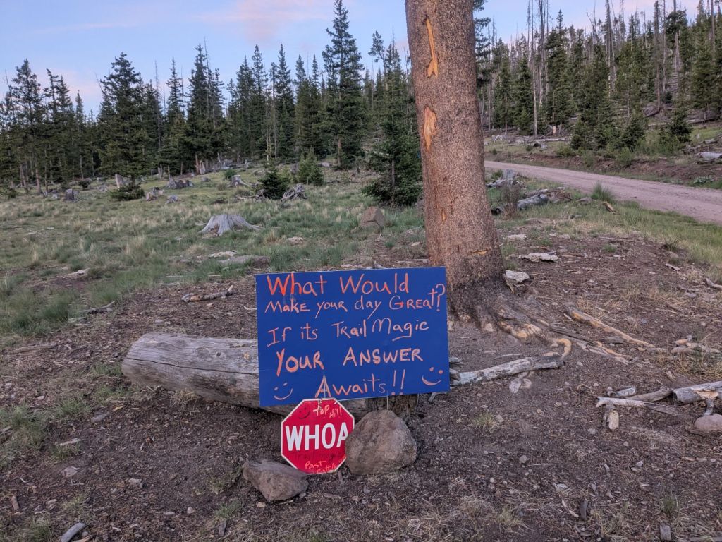
I mustered my strength and pushed on for another half mile to the trail magic. I was not surprised when I found that the trail magic had already finished for the evening. The large canopy filled with coolers and car camping stoves is empty. Everyone must be asleep in their tents already. Regardless, I decided to sleep at the trail magic. I can wake up and catch trail magic at breakfast time!
Day 57
Waking up at trail magic is a great way to start the day. Trail Angels Corrine and Scott, who drove all the way here from Nebraska, served up a delicious pancake breakfast.
Afterwards, I hiked and talked for a little bit with another thru-hiker named Guardian. Yesterday, I walked for a while with two hikers named Elvis and Crazy French Guy. The CDT has been a much more social experience since I got back on trail.
It was a pretty uneventful day. The trail followed ridges through the forest for most of the day, which was actually quite lovely. Since most of the San Juan’s forests are dead beetle kill, I’ve missed live forests. This one did not disappoint.
I took a little sponge bath at a creek and tried to wash my dirty socks in a ziplock bag. They look cleaner, though the rinse water still came out looking like chocolate milk.
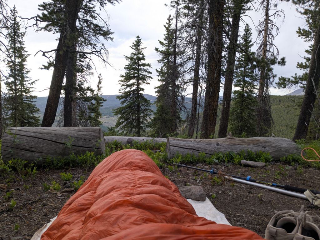
I found a very nice campsite on a ridge. Tomorrow, I’ll reach Monarch Pass where I’ll resupply.
Day 58
I accidentally slept past 8 am – much later than I’m normally able to sleep on trail. Oh well. I must have needed the sleep. Today, I had just 19 miles to hike to reach Monarch Pass on Highway 50, my next resupply stop.
It was a really pretty hike today with lots of open meadows and views of a 13,000-foot peak called Mt Ouray. Because it’s so beautiful (and close to where I lived in Fort Collins) I’ve hiked and trail run in this area multiple times. Some of the parts of the trail I covered today I’ve done 6 times now!
It’s the weekend, and this is a popular section of the trail because of its beauty and proximity to cities. I saw many hikers, mountain bikers, trail runners, and dirt bikers today. It got me thinking about how for many parts of the CDT so far, the only other people I’ve seen (if any) are other CDT hikers. There are certain places that nobody bothers to visit unless they are thru-hiking: places that are not particularly scenic, very remote, or both.
I arrived at the store at Monarch Pass around 4 pm. Most thru-hikers hitch to the nearby city of Salida on Highway 50 to resupply. But since I was nauseous for much of this section, I still had a lot of food left. I purchased a few more snacks from the Monarch Pass store to top off my food bag.
Instead of hiking onward to camp, I hitched just a few miles down from the pass to a donation-based backpacker hostel called The Butterfly House. This place was a trip – complete with a Disco Ball on the ceiling of the hostel. I did laundry, showered, and enjoyed an evening of resting my legs. Tomorrow, I’ll hike into the Collegiate Range!

Leave a comment