Chama to Pagosa Springs.
Days 31 to 35.
Miles 797 to 866.
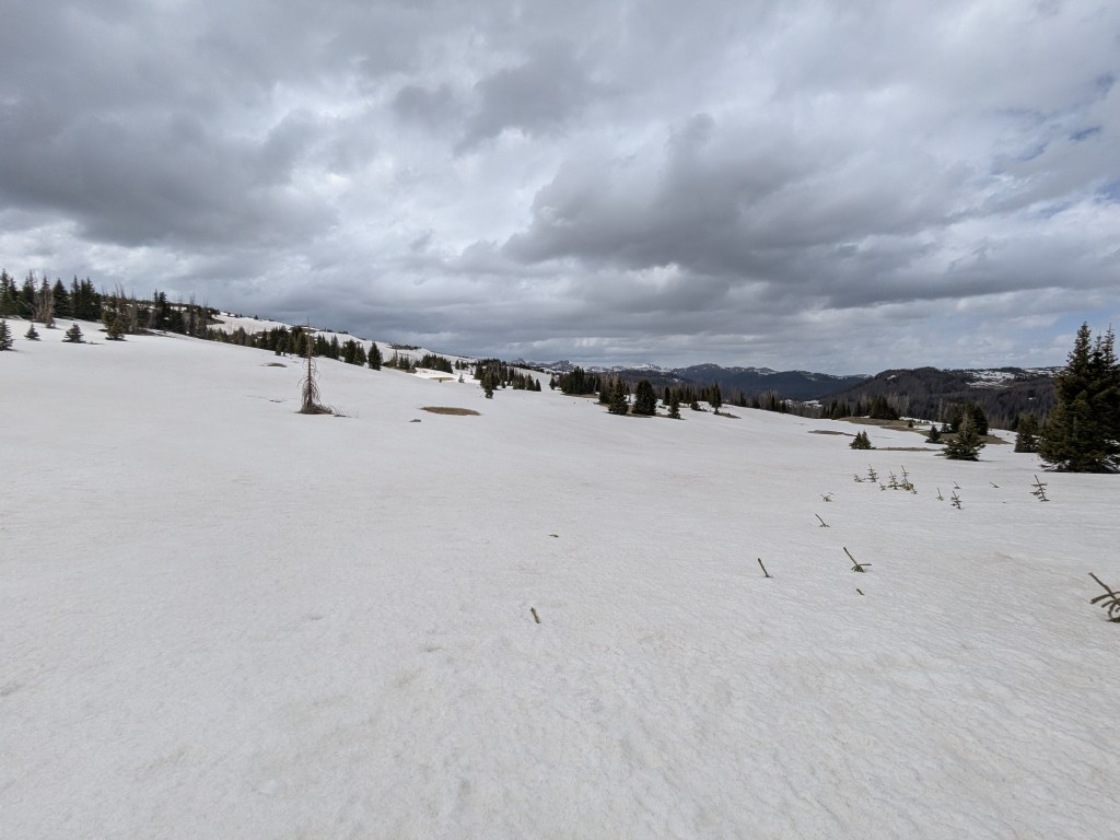
Cumbres Pass, near Chama, NM, marks the beginning of a new phase in a thru-hiker’s journey. Here, the trail enters the South San Juans – some of the largest and most rugged mountains the trail crosses through. In the ~70 miles between Cumbres Pass and Wolf Creek Pass, hikers traverse ridges, summit peaks, and cross passes. Most of this section is above 11,000 feet and some is over 12,000. In this area, the north and east faces of the mountains hold snow into late spring and summer.
Day 31
After two unplanned zeros in Chama, I was feeling antsy to get back on the trail today. Both antsy and nervous. The weather forecast showed below-freezing temperatures and a chance of precipitation in the next few days. Also, another hiker further up the trail was reporting lots of deep, slushy snow in the section between Chama and Pagosa Springs.
Before leaving town, I picked up a package at the post office today, which contained my inflatable sleeping pad. I shipped a lot of additional gear to Chama. At this point, the postal worker at the Chama post office recognizes me. He smiled when I came in and told me my final package had just arrived!
In total, I’m guessing I added about 4 pounds of gear in Chama. I shipped myself an ice ax, micro spikes, wind pants, and an inflatable sleeping pad. I also grabbed a sleeping bag liner and a pair of thick fleece gloves out of a hiker box.
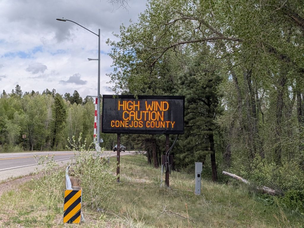
I hitched a ride to Cumbres Pass in the afternoon. A retired lawyer who lived in Chama for most of his life gave me a ride. As we drove up towards the pass, strong winds shook the car, and ominous dark gray clouds loomed over the mountains.
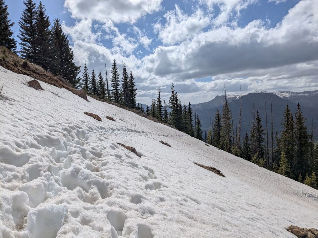
As I started hiking, light snow began falling. Falling, but thankfully not sticking. I hiked 8 miles and climbed above 11,000 feet. I crossed a small snow field using my ice ax and microspikes. Not bad so far!
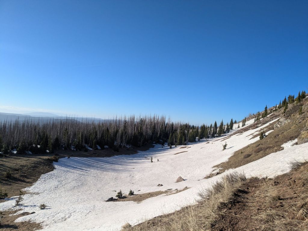
My campsite is situated on a small saddle at 11,300 feet, tucked behind a small grove of trees for wind protection. I’m very cozy and warm in my tarp, thanks to my new sleeping pad and sleeping bag liner. This will be the highest and coldest night of my trip so far, with a 23-degree wind chill.
Day 32
I attempted an “alpine start” this morning. For those unfamiliar with this term, it means getting up and hiking at or before dawn, usually to climb mountains. Hikers do this to beat mountain weather systems, which typically worsen in the afternoons. In springtime, early starts have another benefit. Snow softens in the daytime when temperatures rise above freezing, but re-solidifies at night. An early riser may be rewarded with a few hours walking atop the frozen snow before the afternoon post-holing slushfest begins.
When I woke up before dawn, I found my shoes, wet from yesterday’s snowfields, had frozen solid overnight. I slid my feet into their icy torture chambers and I was off.
The wind began in the morning and grew stronger throughout the day. With 50 mph gusts, it was the type of wind that could blow the glasses right off your face. Quite literally. I have magnetic clip-on sunglasses that go over my regular glasses. But the magnets aren’t designed to withstand gale-force winds. I had to duct tape them to my glasses so they wouldn’t get blown off my face and swept off the mountain.
As I hiked up a ridge towards the summit of Flat Mountain, I watched a mylar birthday balloon sail over the mountain top by 20 feet or so. It caught an updraft and was swept high above the forested valley below. The view from Flat Mountain was incredible, but I didn’t linger on the summit due to the wind.
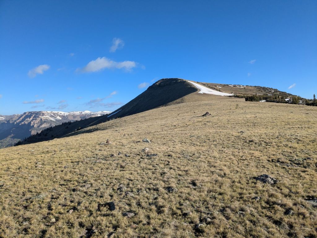
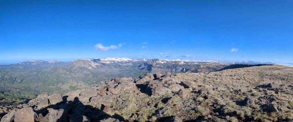
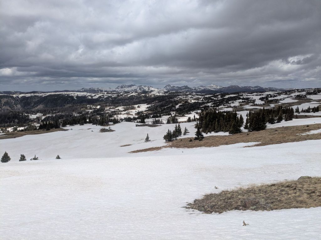
I made good time, walking atop the frozen snow patches on my way down from Flat Mountain. I filled up my water bottles at Dipping Lake and began my next climb. On this ascent, there was significantly more snow. The trail was well over 50% snow covered.
However, half the time I didn’t even know where exactly the trail was. Other thru-hikers have gone through this section before me—though not many. I’m guessing a dozen or so. In theory, there should be footprints or a boot track from these hikers. However, I think the snow is melting so fast that the boot tracks disappear in some places if no hikers are passing through to stamp down the snow continuously. According to the trail register at Cumbres Pass, the last hiker to enter this section was a few days in front of me.
I crested a mountain pass and descended through more snow fields. It was afternoon now and the snow was starting to soften. I sank in more and more on each step.
A few miles after the pass, I descended into a forest. I tried to take advantage of the windbreak the trees provided and stop for lunch. But even in the shelter of the trees it was too cold and windy to sit for very long. I scarfed some peanut butter and crackers as quickly as possible, then started walking again. It was cold enough that I kept my puffy jacket, wind pants, and fleece gloves on all day while hiking.
I exited the forest onto a long, gently sloped, northeast-facing mountainside. It was mostly treeless. In summer, I’m guessing this is a beautiful meadow full of wildflowers. Right now, it is nearly 100% snow covered.
I spent the next couple of hours walking across this snowed-in mountainside. Though the high temperature was only in the 30s or maybe low 40s today, the snow softened. I frequently post-holed to my knees.
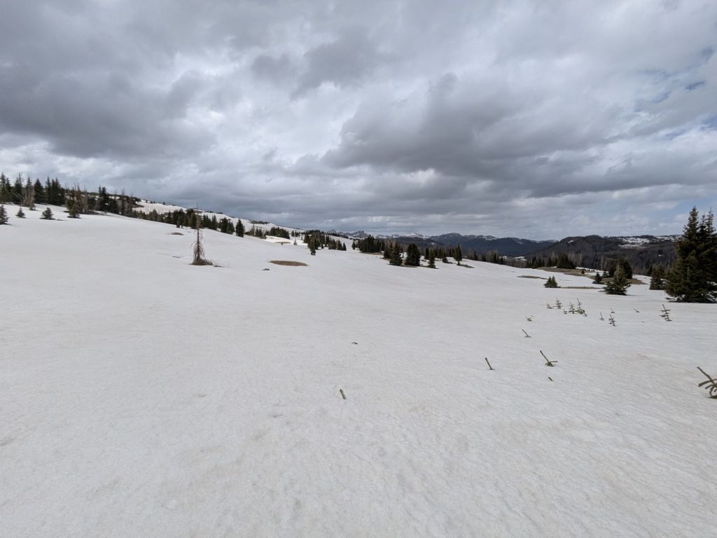
Route finding became increasingly difficult on the snow-covered landscape. The boot track disappeared often and I suspect many of the cairns marking the trail were covered in deep snow. Furthermore, fresh snow was starting to fall – more heavily than I liked. It wasn’t accumulating much yet. Mostly, the fresh flakes just blew around in the forceful wind without ever settling. But the changing weather was enough to make me wary.
Around 4:30 pm, I reached Blue Lake and the trail junction of the CDT and the Rito Azul Trail. In my preparations for this section, I’d noted the Rito Azul Trail as one of several possible places where I could bail off the Continental Divide down to a lower route, should I encounter poor conditions at high elevations.
I didn’t have to deliberate much to come to a decision. I turned onto the Rito Azul Trail. Bailing down to lower elevations before the weather worsened was the smart choice.
The Rito Azul Trail follows a creek downhill for about 4 miles. Then it joins the Conejos River for about 2 miles. This leads to the Three Forks Trailhead at the end of Three Forks Road. From there, I could turn onto some gravel Forest Service Roads that run roughly parallel to the CDT, but at lower elevations. There are several places where side trails allow one to cut back and forth between the CDT and this lower route.
The start of the Rito Azul Trail was entirely snow-covered, much like the CDT. Eventually, the snow gave way to patchy slush and slippery mud. I’m certain I was the first hiker to walk on the Rito Azul Trail this season. The only footprints in the snow were those of elk and deer.
Between the snow, mud, and blowdowns, it was slow going. I forded the river three times. More and more snowmelt and tributaries fed into the river as I headed downstream, increasing the flow. Thankfully, even the final, deepest crossing was only about knee high.
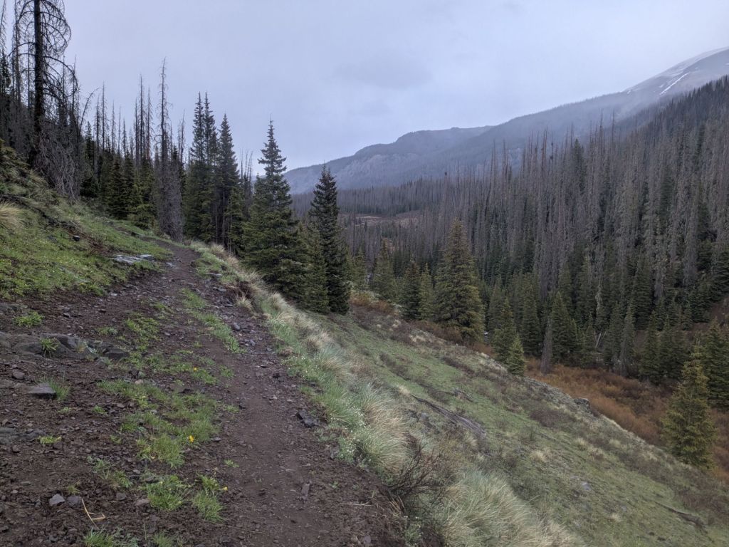
As I made my way downhill, the falling snowflakes changed to sleet, and eventually to cold rain.
I arrived at the Three Forks Trailhead after 7:00 pm, soaked and exhausted. I pitched my tarp directly next to the pit toilet. Rather than being repelled by the toilet’s smell, I felt comforted by the little taste of civilization it provided. No cat hole digging for me tomorrow morning!
Day 33
I slept in until the sun hit my tarp. Then I got up and began my long road walk. I planned to stay low for most of the day today, while the current weather system cleared up, and then make my way back up to the Continental Divide Trail. This meant 19 miles of walking on gravel Forest Service Roads, up to Elwood Pass where I could rejoin the CDT!
I know I’ve complained about the road walks in New Mexico. But this road walk was actually quite pleasant. The gravel road had almost zero traffic. And it went through some gorgeous mountains. Despite being on a road, I was far from bored.
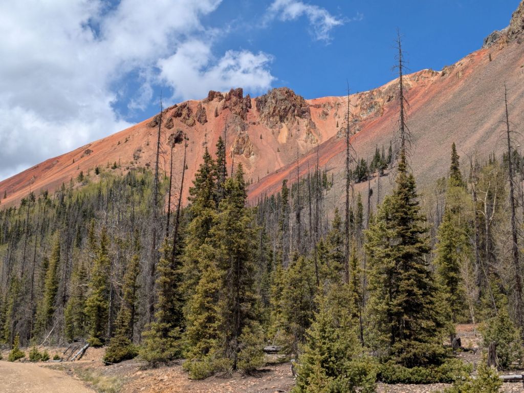
Some of the mountains I walked by had no vegetation, exposing large faces of bright red rocks. I learned from an interpretive sign alongside the road that this coloration is due to iron. Snowmelt and rain runoff on the mountainside washes iron and other metals down into the river. Consequently, the river beside the red mountains is naturally more acidic than mine tailings! I carefully checked my map to ensure I do not fill my water bottles from that particular river.
For lunch, I ate the rest of the couscous that I couldn’t finish for dinner last night. The high elevation and cold have robbed me of any appetite and I’ve struggled to finish even small meals. I wasn’t worried about the couscous going bad, because the daytime high temperatures have been similar to those of a refrigerator.
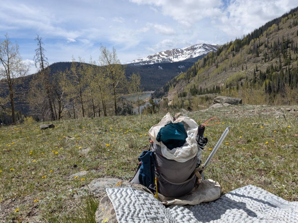
It snowed lightly in the afternoon as I walked up the road, approaching 11,000 feet. But eventually it cleared up and the sun came out. It seemed the storm was finally over.
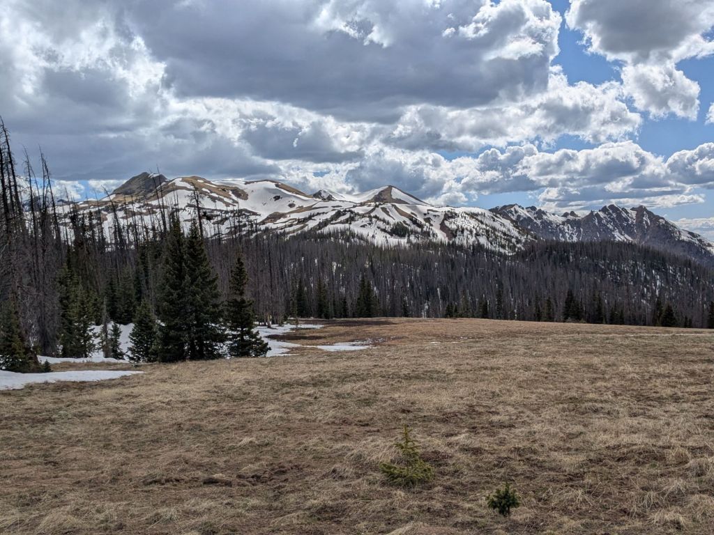
At 11,600 feet I rejoined the CDT at Elwood Pass. From near the pass, I got a view of Summit Peak, Montezuma Peak, and Long Trek Peak. The official route of the CDT traverses the sides of these peaks. From the looks of it, these traverses were still nearly 100% snow covered! I’m somewhat relieved I avoided these snowy slopes with my road walk. At the same time, I can’t help but feel like I missed out on what was certainly a stunning, high-elevation bit of trail.
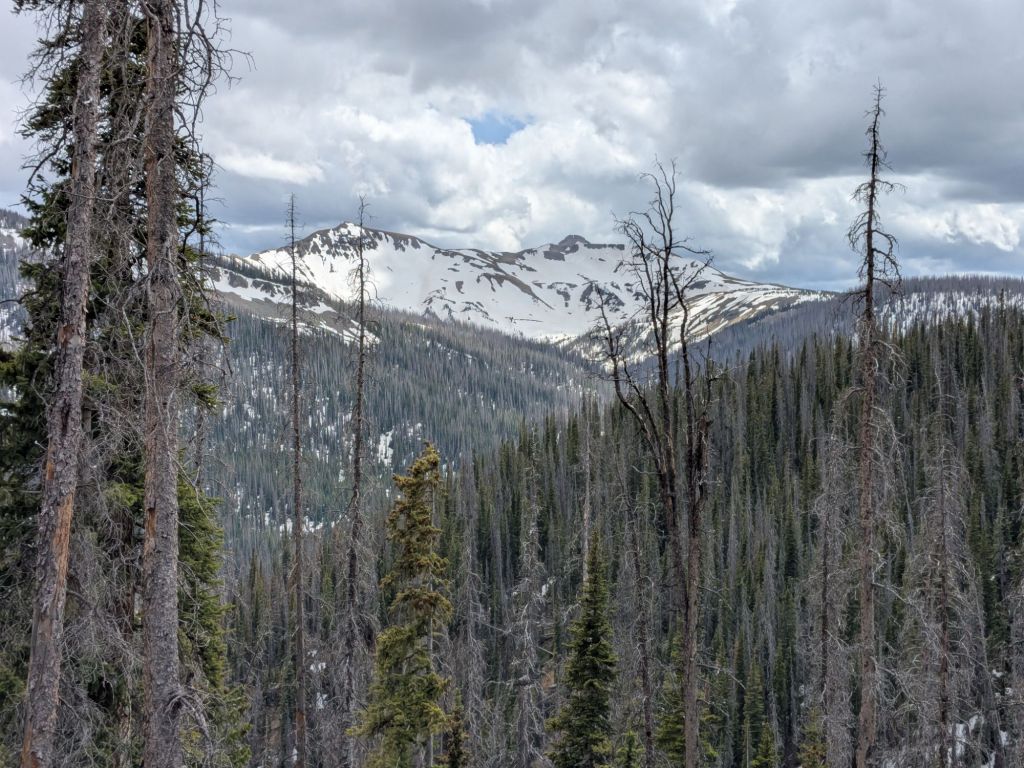
I camped a few miles beyond Elwood Pass on the CDT. I was lucky to find a dry campsite free of snow, mud, blowdowns, and standing water – it’s a real springtime mess up here!
I arrived at camp early. The sun was still up and the wind was blowing hard. I decided to take advantage of those conditions to dry my soaked shoes. I placed them outside my tarp in the sun. When the sun went down I pulled my shoes inside, only to find that instead of dry, they were frozen solid. Looks like I’m in for another chilly night.
Day 34
I’d intended to get another early “alpine start” to cover as many miles as possible before the snow softened. But I was so exhausted that I slept through my alarm. So instead, I got a late start on a sunny and (relatively) warm morning. The post-holing began within an hour.
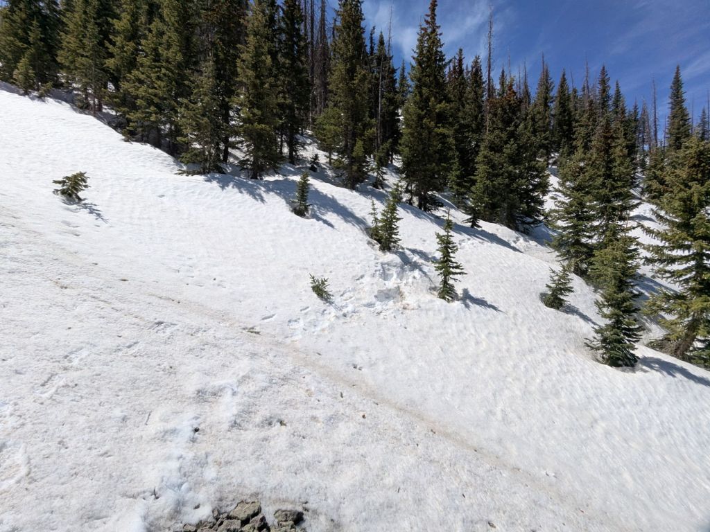
Today, the trail followed a long ridge, periodically popping up over the ridgetop, alternating between traversing the north and south faces. The south side of the ridge was mostly treeless, with steep scree (little loose, flat rocks). Fortunately, the south-facing slopes are snow-free and dry.
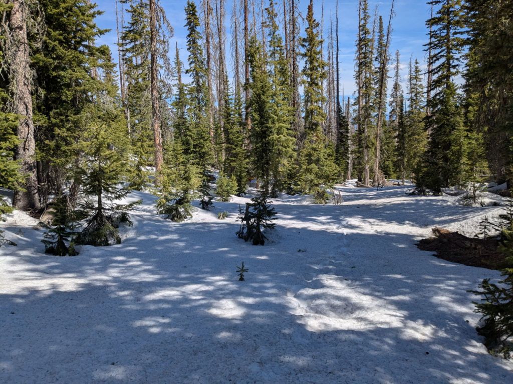
The north side of the ridge was another story. It was snow-covered and forested, with frequent blowdowns. Occasionally, the snowdrifts on the trail were as deep as 10 feet!
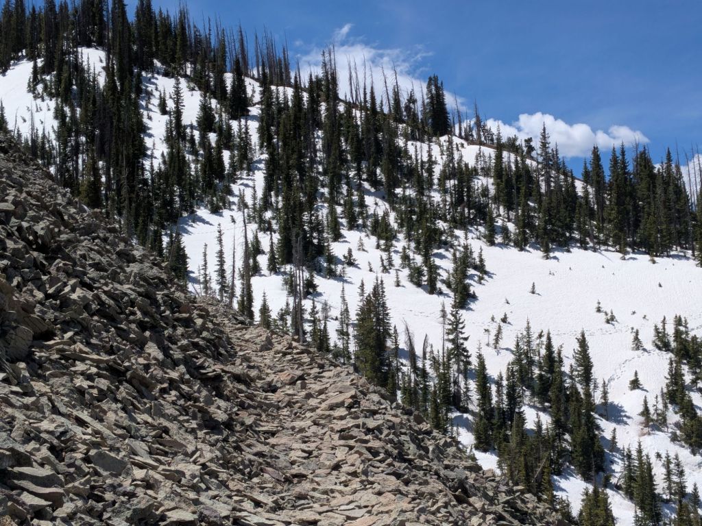
Between the blowdowns and the snow, it was often hard to tell where the trail was supposed to be. I spent much of the day feeling like I was randomly off-trail post-holing through a winter forest – not hiking a national scenic trail!
I switched sides of the ridge frequently, so I was often stopping to put on and take off my micro spikes. Not that they were much use in the soft slush anyway. On the steeper-angle snowfields, I carefully stepped, using my ice ax to self-belay in case I slipped.
The trekking was so slow and challenging today that at one point it took me 40 minutes to cover half a mile. I started wondering if I’d even make it the full 15 miles to Wolf Creek Pass today. Would I be better off spending another night out here and finishing the hike out the next morning when the slush resolidified?
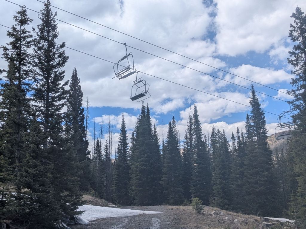
Considering the slow and rough hiking, I decided to take a shortcut. About 5 miles before the highway, my map showed a dirt road in Wolf Creek Ski Area, a short distance downhill from the CDT. If I cut cross-country from the CDT over to the road, I could then follow the road down the mountain and out of the snow more quickly.
I hiked on, motivated by the prospect of escaping the snow soon. However, a mere quarter mile before my planned bailout spot, I hit a roadblock. I reached a steep-angle traverse on a snowed-in, forested slope, below a particularly narrow and cliffy part of the ridge. Oddly, I didn’t see any boot track cutting through the steep-angle snow to clue me in on the best line across.
I grabbed my spikes and ax, determined to find a way across. I selected what looked like the best line across the steep, slushy snow. But as I rounded a corner I hit a nearly vertical drift of snow with rocky cliffs above it. I couldn’t get past.
I post-holed back across the snowfield, following my own boot track. I tried again, cutting a different, lower line across the snow. Again, I ran into terrain I didn’t feel safe crossing. I was exhausting myself, cutting new paths back and forth through the slippery, slushy snow, frequently sinking in up to my hips.
I stood looking at the slope, feeling stumped. Why was there no boot track here? Perhaps other hikers found a better way around this particularly tricky bit of snow?
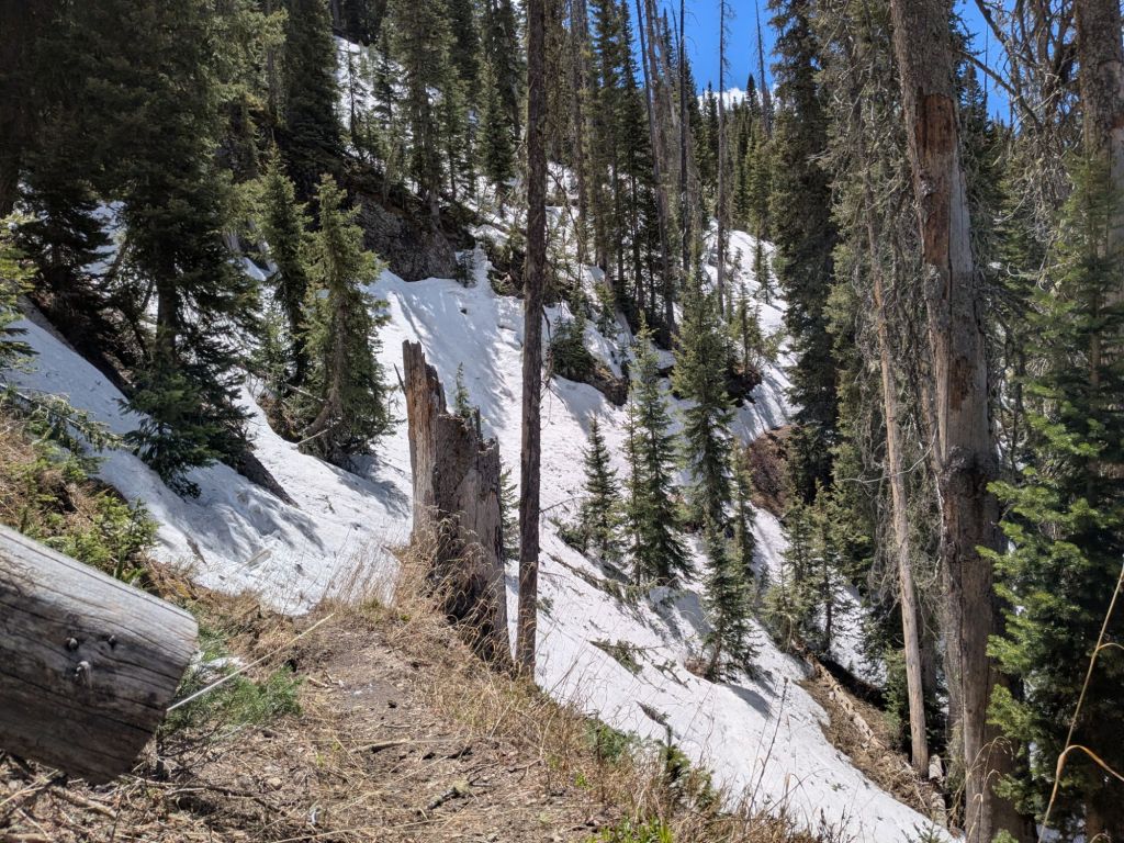
I scrambled steeply uphill through the forest to the top of the ridge. It was a narrow ridge, with snowy, forested slopes on one side and sheer screefields on the other. But thankfully there was a tiny strip of snow-free terrain along the top of the ridge. I followed the ridge. At one point the ridgeline became so steep and rocky that I had to climb using both hands. But eventually, I found a faint social trail, leading down off the ridge and back to the CDT. This was my way around.
I abandoned the CDT almost as soon as I got back on it. I bailed down towards the dirt road shown on my map. The road was a snow-covered, slushy mess like everything else. Once, I sank into some thigh-deep snow and found my feet submerged in icy, flowing water under the snow on the surface of the road.
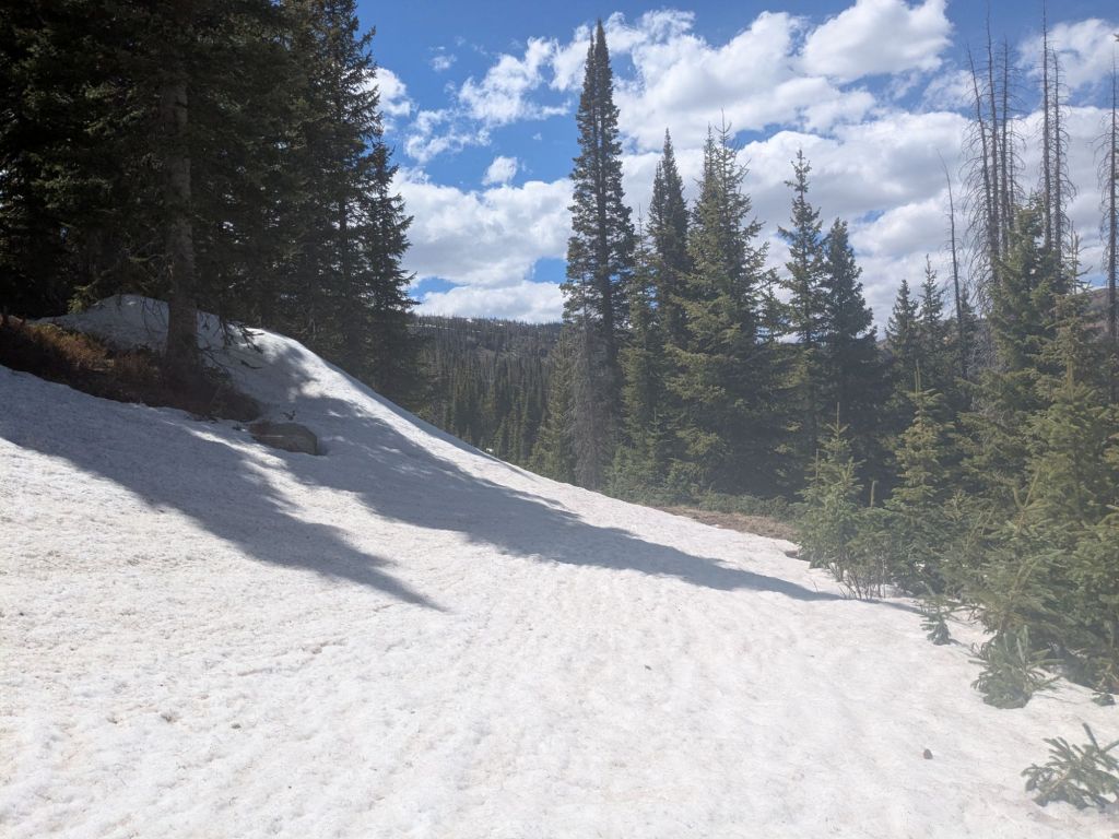
I reached the highway at Wolf Creek Pass. I walked up the highway to the trailhead and stuck out my thumb. A handyman on his way to a garage door installation job picked me up. He was the first person I spoke to since getting dropped off at Cumbres Pass.
In town, I stumbled into a pizzeria. I sat there for two hours, cold, wet, and discombobulated from the mountain. My four-day misadventure post-holing in solitude left me a bit strung out.
But, honestly, what did I expect? I entered the San Juans in May. Yes, it’s a record-low snow year. But it is still springtime in the mountains. Some late-season storms in the last few weeks kept the meager snowpack intact for longer than I expected. Though the snow is melting fast, it is far from gone.
I knew that tomorrow I’d have some tough decisions to make about my hike going forward. But tonight, I decided to just relax and focus on recovering from my last few intense days.
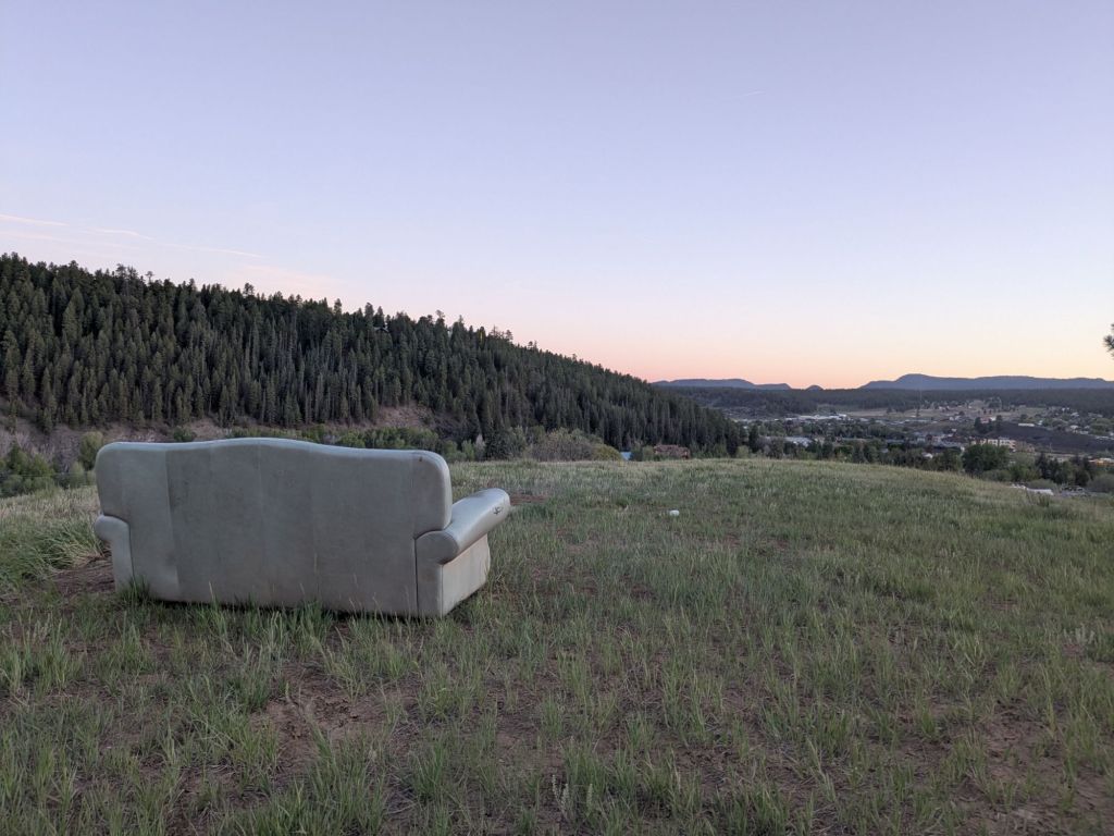
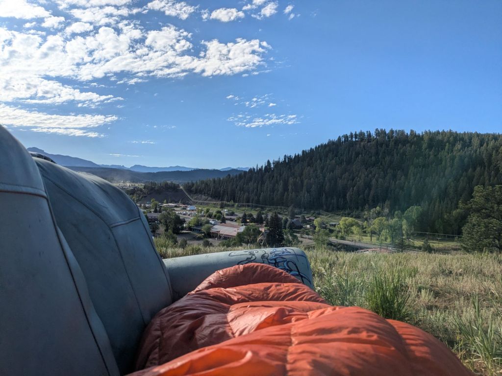
I spent the evening down at the San Juan River, which runs through the center of Pagosa Springs. There are free hot springs in the river, where I soaked. After, I walked up a hill on the edge of town to a place where a local landowner lets thru-hikers camp for free. There was an old couch up there and an amazing view overlooking the city lights. What a place to fall asleep.
Day 35
There’s nothing quite like waking up on a couch on a hill in the mountains. I would know, because that’s where I woke up today. Despite the challenges of the last few days, unexpected moments like this sustain and strengthen my love of thru-hiking.
I was so exhausted that I managed to sleep until 8 am, despite the sun shining in my face. I walked to a coffee shop that offers a free doughnut for thru-hikers.
Friendly locals everywhere stopped me to chat and asked me about my trip. Many noted that I arrived in Pagosa Springs very early in the season. Some said I was the first thru-hiker they’d seen in town this year. At the post office, I was the first 2026 thru-hiker to write my name in the logbook. I knew I got in front of the thru-hiker “bubble” due to my speediness through New Mexico. But now I was realizing just how far ahead I was.
I had some difficult choices to make today. I knew that continuing into the San Juans now meant more post-holing, challenging route finding, and most difficult of all, isolation. Though I made it this far, I felt the current conditions prevented me from enjoying these mountains the way they deserved.
Looking past Pagosa Springs, there is a lower-elevation alt route that I could take, called the Creede Cutoff. This cutoff would avoid 120 miles of the CDT in the highest, snowiest parts of the San Juans.
I only know of a half dozen or so thru-hikers in front of me, and all but two of them took the cutoff. This early in the season, it’s the smarter, safer, and certainly the easier choice – especially for hikers like myself with limited snow mountaineering experience. But the thought of missing some of the most remote and beautiful parts of the CDT in the San Juans feels heartbreaking to me.
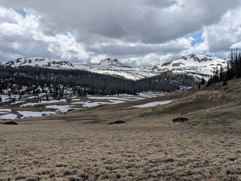
So I decided to get off the trail for two and a half weeks and wait for more snow to melt. I’m hopeful this decision will allow me to continue through the San Juans without taking the Creede Cutoff — or at the very least reduce the amount of post-holing I experience. I’m also hopeful that some of the friends I’ve made along the way will catch up to me. Realistically, they’ll overtake me in two and a half weeks – and then I’ll be the one catching back up to them!
I spent the rest of the day making the arrangements to get off the trail temporarily. I found a place in town to stow my ice ax, trekking pole, and microspikes while I’m away. I booked a last-minute round-trip flight out of the nearby city of Durango. I got in touch with some trail angels who generously volunteered to help me travel to the Durango airport.
It’s a strange feeling, taking a break in the middle of a thru-hike. The urge to keep going is overpowering at times. But as much as I’d like to plow forward, conditions be damned, I know that coming back to these mountains in June is going to be incredible!
It will be a little longer than normal until my next post. I won’t return to the trail until mid-June! I’m looking forward to a couple of weeks of relaxation and side-quests before continuing my journey north on the CDT!


Leave a Reply