Pie Town to Grants.
Days 16 to 18.
Miles 423 to 534 (via Cebolla & Bonita-Zuni Alts; actual mileage ~85 miles).
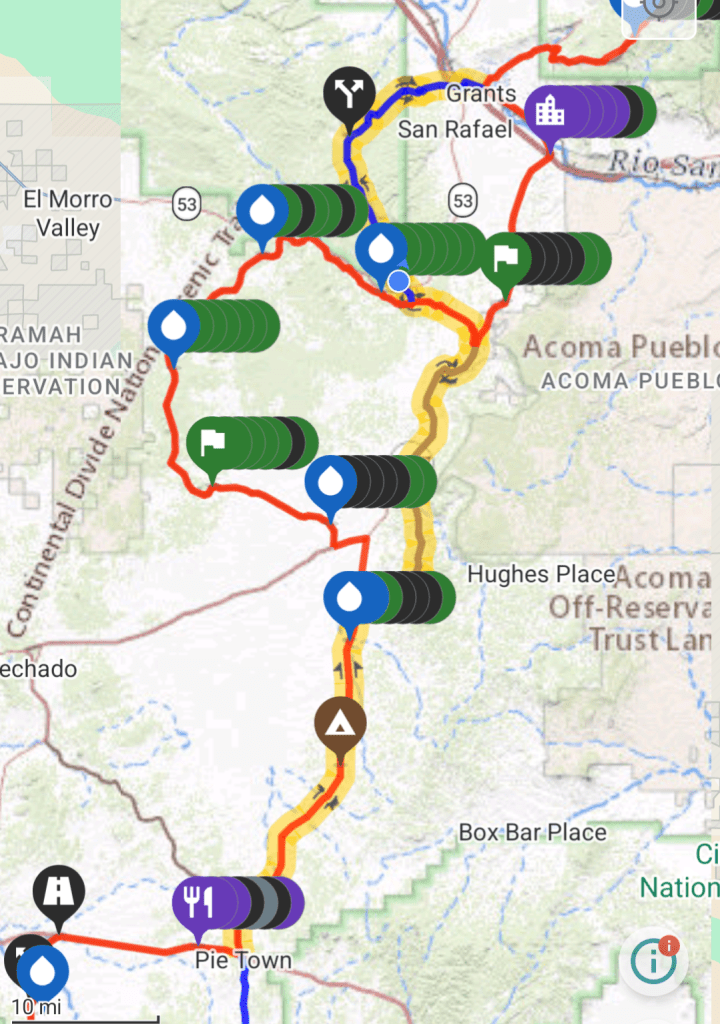
There are several ways Continental Divide Trail (CDT) thru-hikers can get from Pie Town to Grants. All of them involve significant amounts of walking on gravel and paved roads. One option is to take the CDT main route (“red line”) for about 27 miles on a gravel road, then turn onto the Cebolla Alt (brown line) through some broad, sandy canyons. At the end of the Cebolla Alt, hikers can rejoin the red line heading northbound on a paved road. Or, they can take the red line backwards (sobo) for 7 miles to hook up with the Bonita-Zuni Alt (blue line). The Bonita-Zuni Alt is a mixture of dirt roads, single track, and pavement. It reconnects with the red line in Grants, NM.
This is the route that I took from Pie Town to Grants, highlighted in yellow on the map below.
Day 16
I finally left the Toaster House this morning, after a relaxing zero day. When I woke, all the other hikers who spent the night were already gone. I tidied up a bit and took out the trash, then hit the road.
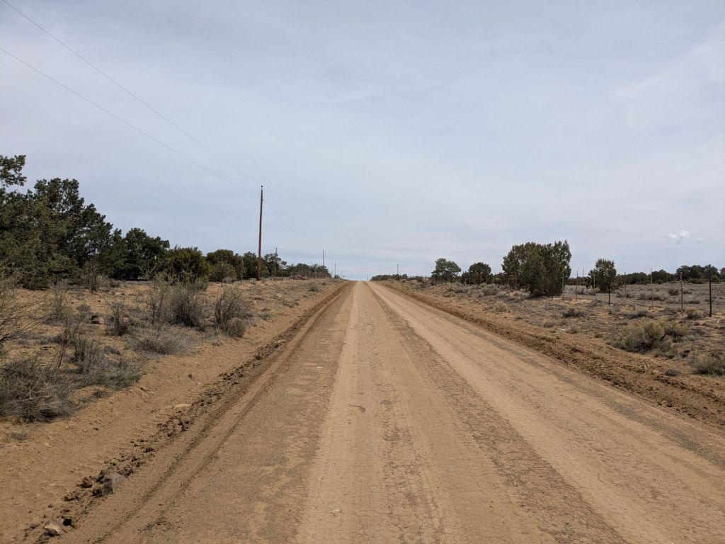
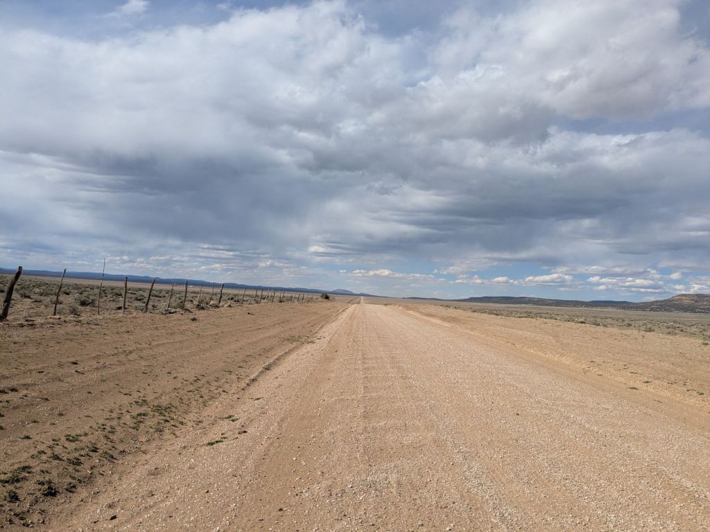
Leaving Pie Town, thru-hikers face a long 20+ mile walk on a straight gravel road. This might sound easier than hiking on trails. But the repetitive motion of walking on a road is quite taxing on the legs and feet. Walking on a trail feels easier on the body, since there’s more natural variation in the surface beneath your feet.
Walking a flat, straight gravel road for hours is also taxing on the mind. I find it to be duller than walking on trails. Nevertheless, I entertained myself in several ways. For example, I tried seeing how far I could walk with my eyes closed before accidentally veering off the road (not very far, it turns out). I also chatted with anyone who would chat with me.
I walked and talked for much of the morning with Nate and Barry – two thru-hikers who coincidentally happen to live in the same town as me, on a street I used to live on. What a small world.
At lunch, I caught up with the rest of the crew that had spent last night at the Toaster House. We all ate lunch at TLC Ranch. Similar to Davila Ranch, TLC is another hiker rest stop on private land along the gravel road, generously provided by the landowner. They provide a picnic table, water, and an outhouse.
After lunch, I hiked for a while with a thru-hiker named 79. Turns out that 79 coached hockey at the high school I graduated from. What are the odds – meeting 3 people I have likely walked by on the street back home while walking through the middle of nowhere in New Mexico? My world sure feels small today!
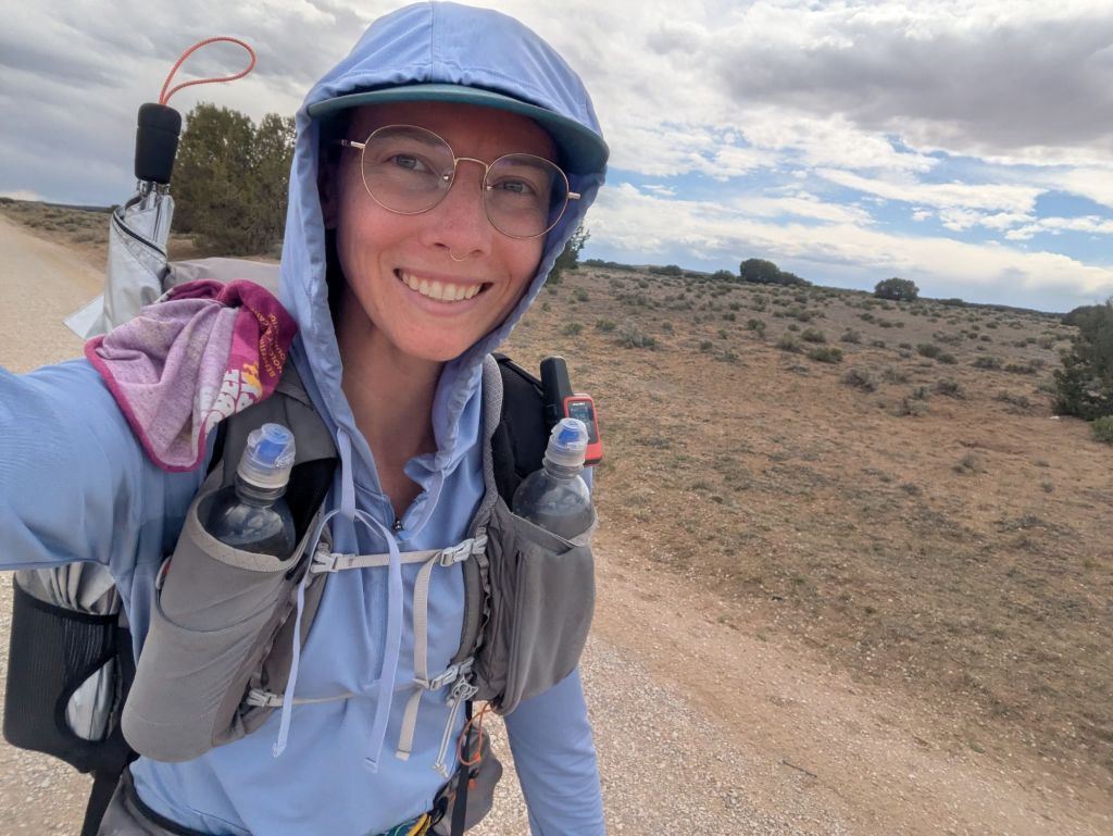
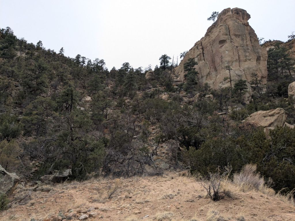
After 27 miles on the gravel road, I was very ready for a change of scenery. So I opted to turn off the road and take the Cebolla Alternate route. Soon I was on a single-track trail through a canyon. It probably wasn’t the most scenic canyon, but after the road, it felt exceptionally beautiful to me.
After hiking over 33 miles today, I found a spot to pitch my tarp. Annoyingly, I haven’t had the best pitches on this trip. I have to fidget with the guy lines much more than I ever did on the PCT to get the tarp taught, and even then, my pitches come out wonky and awkward. I’m unsure what has changed.
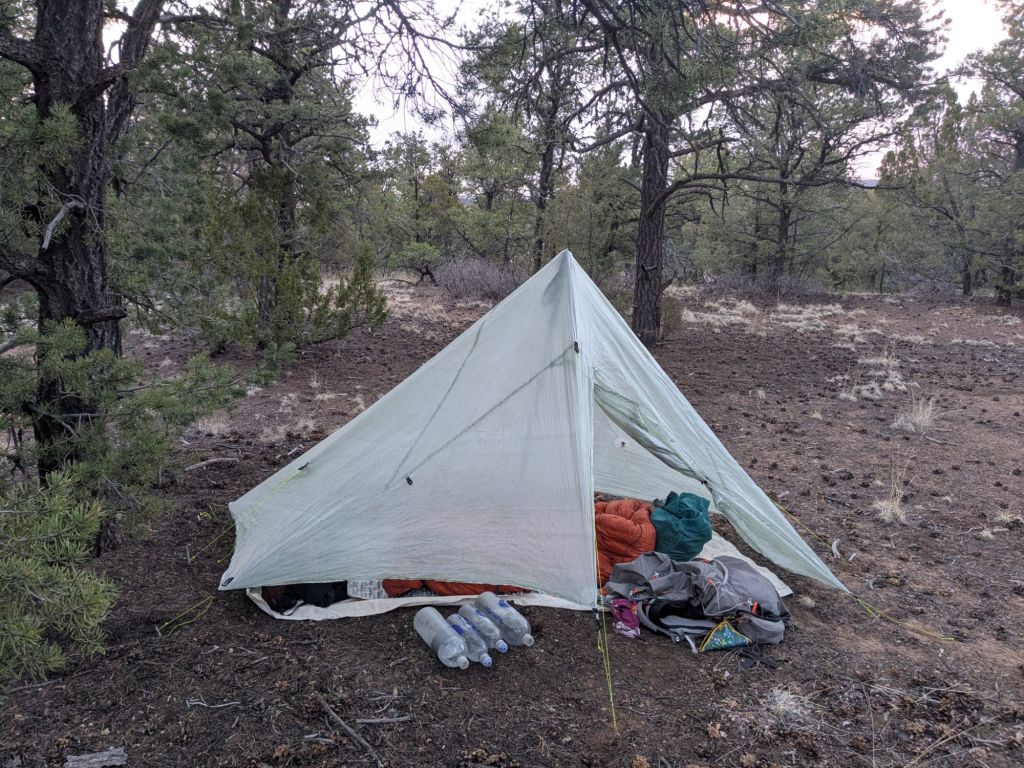
It is windy and sprinkling sleet tonight. I hope I stay warm and dry.
Day 17
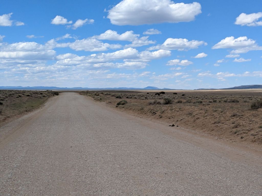
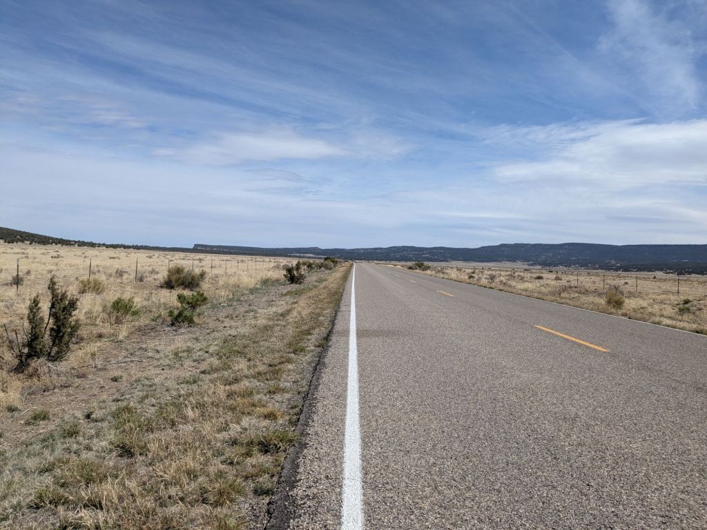
I continued on the Cebolla Alternate Route. This route, which began as single-track trails, soon turned to dirt roads. Then gravel roads. Next thing I knew, I was on pavement. Pavement in the form of a 2-lane highway with cars and trucks zipping along at 60 mph.
Though I could walk faster on the paved shoulder, I mostly walked down in the roadside ditch among the rusty beer cans and smashed beer bottles. I’m not exaggerating to say there was a beer can or bottle every 6 feet. Sometimes, I’d spot an empty cardboard case, undoubtedly chucked out a window last, after all its contents were drained and chucked. Though unpleasant, I’d rather be in a ditch stepping over cans and bottles than up on the road within swerving range of the disturbing source of this litter.
The silver lining of road walking is that sometimes drivers pull over and offer you a soda or some water. So far, I’ve found that locals along the CDT are especially welcoming and helpful to thru-hikers. While the CDT may not be the most popular long-distance trail, it is very well-loved by those who live near it.
After 4 miles on the pavement, I gladly took the opportunity to get back onto single track for a little bit. I hopped onto the Narrows Rim Trail. This trail parallels the highway for four miles, along the edge of a nearby mesa. I enjoyed the nice views of the lava flows in the valley below.
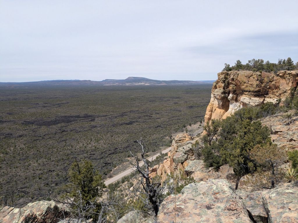
The Narrows Rim Trail ended with a steep scramble back down to a trailhead on the paved road.
At the trailhead, I ran into most of the other hikers who left Pie Town the same morning as me. We are all taking slightly different alts, but keep bumping into one another anywhere the alts reconnect and intersect. At the trailhead, we discovered a cooler full of soda, courtesy of a trail angel named Jenn who maintains many caches and coolers in this area. We all sat around for a bit and enjoyed a beverage.
In the afternoon, I turned off the paved road and back onto the main route of the CDT. However, I was heading southbound, instead of northbound. That’s because I wanted to get back to the intersection with another alt route – the Bonita-Zuni Route.
So for 7 miles, I got to experience the CDT as a southbounder. Overall it was not a good experience. But that had less to do with the direction I was hiking, and everything to do with the terrain in this area.
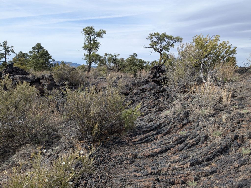
For those 7 miles, I hiked continuously over lava flows. While the lava flows looked cool from up on the mesa earlier, walking over them for several hours was less fun.
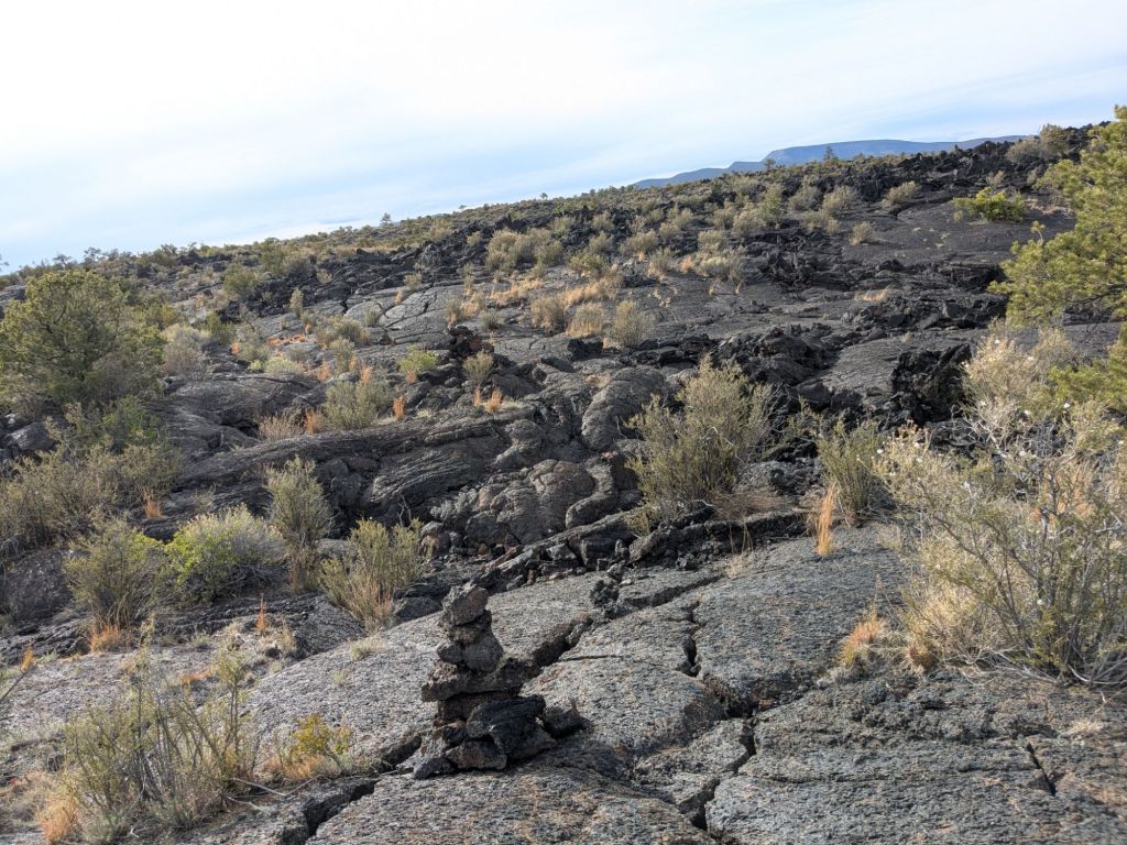
The lava rock is the texture and hardness of pavement. However, while pavement is carefully laid out in a flat surface by construction workers, a lava flow is carelessly burped out by a volcano. There are steep, 30-foot undulations in the surface of the flow. Furthermore, the lava cracks as it cools and solidifies. These cracks come in all sizes – from small ones perfect for twisting ankles to big ones that could swallow a hiker whole. For JRR Tolkien fans, this can be described as the kind of stuff Sam and Frodo walked through on their way to Mount Doom.
I’m not sure I’ve ever shouted so many expletives while hiking as I did during my 7-mile jaunt across the lava flow today. I was relieved once I reached the intersection with the Bonita-Zuni Alt. It was getting late, but I wanted to be free and clear of the lava flow to camp. If I thought I had to wake up and walk through more lava, I might never get out of my sleeping bag.
Day 18
I set a 6 am alarm this morning because I wanted to hike the 23 miles to Grants before the post office closes at 5 pm.
The moment my alarm went off, it started raining on my tarp. This rain continued all day.
Considering the rain, I felt extra thankful I got through the end of the lava flow yesterday. That would be a nightmare when wet. Fortunately, all I had to do was walk 23 miles on dirt and paved roads. In pouring rain. With a 37-degree wind chill. Could be worse, right?
I had a good laugh at myself, dripping wet, walking through the pouring rain, yet still carrying 2.5 liters of manure-flavored water I collected from a cow trough yesterday. Laughing to keep from crying, perhaps.
In fact, this whole section of the CDT, from Pie Town to Grants, has been laughably bad. It is comical to go camping in this place. Like a responsible little backpacker, I pack out my trash. But each day I walk through a minefield of roadside litter. I carefully dispose of my #2’s by digging catholes. But the ground I dig in is more cow manure than it is dirt. And the road walks are so flat and unstimulating that there’s nothing to do but contemplate the question: Why am I backpacking here? Why would anyone go backpacking here?

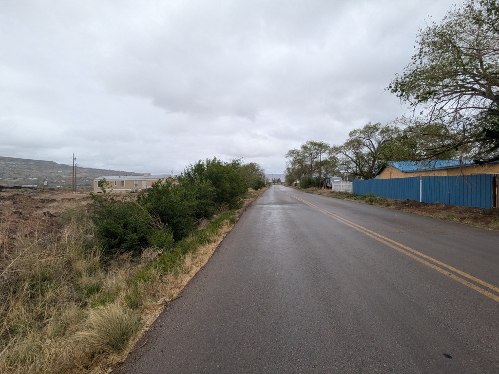
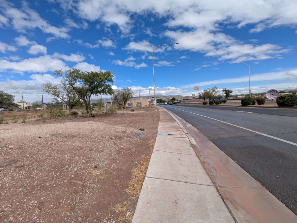
The final 12 miles of my walk today were paved. Things deteriorated further as I reached the outskirts of the town of Grants. Here, the forest was replaced by trailers and garages.
Two loose dogs charged at me in the street. I watched a pickup truck hydroplane around a tight corner in front of me. Worst of all, I really had to go to the bathroom. But short of hopping a barbed wire fence and digging a cathole in the yard of someone’s trailer home, I didn’t have a lot of options.

I reached a McDonald’s on the edge of Grants around 1:30 pm. By the time I got there, I was so desperate for a toilet and a roof that I nearly cried. I stayed at McDonald’s for almost two hours, dripping on the plastic furniture and consuming 1,500 calories of fast food.
Ultimately, I decided if ever there was a time to splurge on a motel room, it was tonight. I ran a few errands, then checked into my room at the Southwest Motel. Dry, warm, and fed, I began feeling better.
There’s no getting around it. Today sucked. But that’s sometimes the nature of a thru-hike. A thru-hiker hikes through it all: the good, the bad, and all that’s in between.

Leave a comment