The expectation and reality of thru-hiking are often vastly different. But unexpected things can be some of the most special and worthwhile parts of a thru-hike. I was fascinated with the Pacific Crest Trail (PCT) for over 10 years before I thru-hiked it. Consequently, I read a lot about it in advance of my trip. Even so, I found my hike was filled with both unexpected challenges and rewards. Here are 8 of them.
The water sources
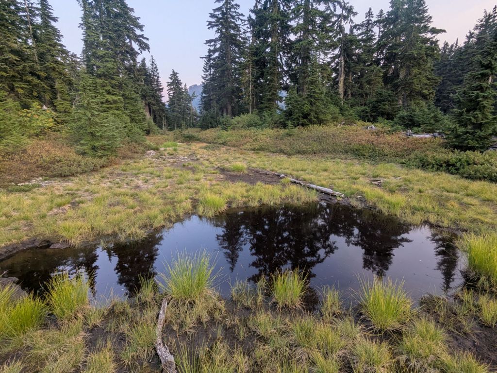
Before tackling the PCT, I was aware that the water situation is quite different from other trails. Previously, I’d mostly backpacked in places where water is abundant and crystal clear. However, the first 700 miles of the PCT go through a desert. I knew water sources would be fewer and further between than I was used to. I also expected the water sources might be murky, stagnant, or just plain gross.
However, a vast majority of the water sources were clear and appetizing. I treat my water with AquaMira – a chemical treatment that kills anything icky living in the water that might make me ill (like Giardia or Norovirus). Pretty great, but, AquaMira doesn’t remove chunks like algae, sediments, and dead bugs. However, I only remember four or five times that I needed to pre-filter my water through a bandana to remove the chunks. This was a pleasant surprise.
Lizards everywhere
Lizards are part of the day-to-day experience of a PCT thru-hike. Big ones, small ones, in all different colors. Throughout southern California, I saw at least a dozen lizards each day. Everyone talks about the rattlesnakes – but they were (relatively) few and far between. The lizards were an unexpected source of daily amusement for a large portion of the trail.

Northern California was hotter than the desert
Prior to the Pacific Crest Trail, I had little experience hiking in the desert. The idea of walking through intense heat intimidated me.
I thought that once I got through the 700-mile desert at the start of the PCT, I’d be done with the worst of the heat. I thought Northern California would be cooler due to its higher elevation and latitude. I also expected there to be shade from trees. However, I experienced hotter conditions in Northern California than I did in the desert.
My hottest day of the trail was in Northern California in the town of Burney – where the temperatures sky rocketed into the mid 100s! This was significantly hotter than it was when I hiked through the Southern California desert – even with my May start date.
Furthermore, Northern California was impacted by many large wildfires in recent years. Consequently, I spent a lot of time hiking through burn areas. During those times, there was little shade, which meant it was difficult to avoid the intense sun.
It’s a thru-hiker highway (and everyone in town already knows what you’re doing)
When some people picture a PCT thru-hike, they envision a largely solitary experience in the wilderness. In 2026, this was far from my experience. Over the 4 months I spent thru-hiking the PCT, I crossed paths with hundreds of other thru-hikers and section hikers.
Surprisingly, I camped alone only 4 times. The sites marked on the FarOut app were almost guaranteed to have other people camping there during peak thru-hiking season. On one or two occasions I struggled to find a place to pitch my tarp that wasn’t already occupied. I definitely was never lonely.
The density of hikers is illustrated well by a funny experience I had on a particularly hot day between Tehachapi and Walker Pass. While hiking mid-day, I started looking for a place to stop in the shade and eat lunch. The only thing to provide shade for miles around was the occasional Joshua tree. However, each time I reached a Joshua tree, it already had a thru-hiker (or two or three!) crouched in the tiny spot of shade beneath it. Frustrated and hot, I walked an extra mile before finally finding an unoccupied tree for my lunch break. (Read more about this section in this post from my PCT trail journal.)
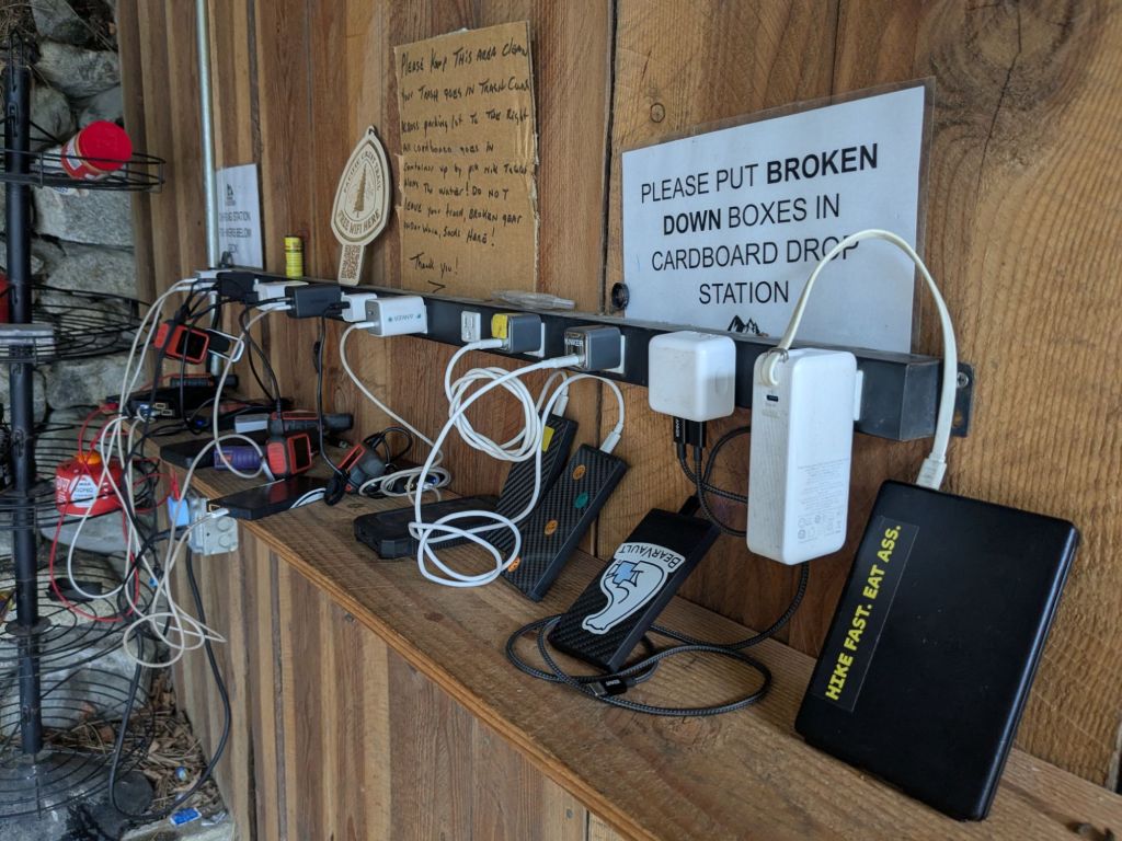
Hoards of hikers occasionally overwhelmed the infrastructure in small trail towns too. When I stopped by Grumpy Bear’s Retreat at the end of the desert, there were well over 50 hikers – and only one laundry machine! In other towns it was a struggle to find a free outlet to plug in and charge a phone. Fortunately, many hiker-friendly businesses are aware of our need for charging and have kindly installed large power strips.
Locals in the trail towns generally knew what I was doing. Folks who picked me up hitchhiking to town already knew all about the PCT. Many of them picked up hikers almost daily during thru-hiker season.
Ash in the burn areas wrecks skin
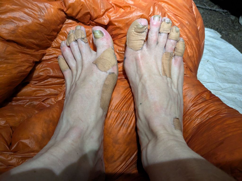
In Northern California, I developed strange open sores on my feet, under my knee brace, and around my hip belt. At first, I thought it was just the usual chaffing that comes with long-distance hiking. But soon I realized these wounds were unique.
Turns out that when ash mixes with sweat it can produce a very alkaline solution – one with a high enough pH to damage skin. In other words, I was getting chemical burns. Horrifying. As soon as I left the burn area, the sores began to heal. But upon entering a new burn area, my wounds reopened.
Not every hiker suffered from these chemical burns, but several others I knew and I did. I’m not sure why some people are more sensitive to ash than others. This was one of the more unpleasant surprises about the PCT, for me.
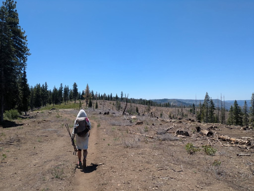
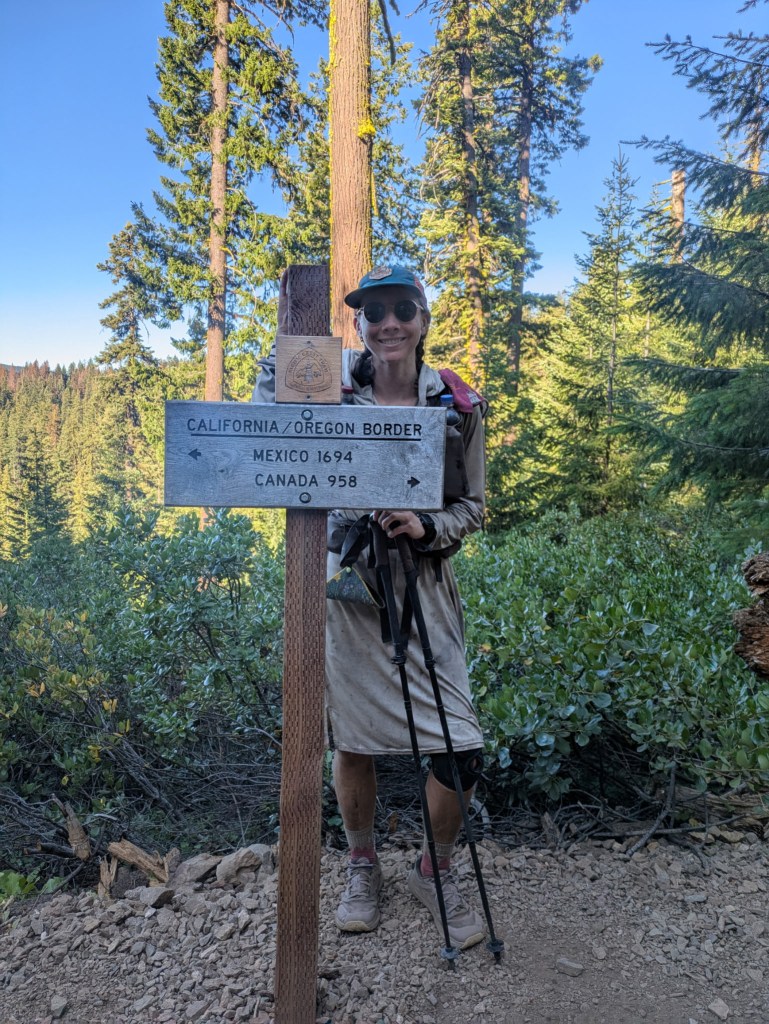
The trail almost immediately gets better in Oregon
People often talk about Oregon being the easiest and flattest part of the PCT – a reprieve from long, grueling climbs such as those in northern California. I regarded this type of talk with a great deal of skepticism. While reaching a state line is an exciting achievement and a morale boost, I found it hard to believe the terrain would change significantly or suddenly at a manmade border.
However, I was proven wrong. The last 50 miles in California included a 5,000-foot climb, an unshaded burn area, and dozens of blowdowns. Pretty challenging. But within miles of entering Oregon, the mountains became more subdued, and the climbs were more gradual. The conifer forests seemed healthier and less burnt. The trail was immaculately maintained. I even got 5G cell reception for what felt like the first time in weeks!
There can be long periods with limited or no cell service
I was surprised by how little cell service there was on the Pacific Crest Trail. I know, I know – it’s in remote wildernesses. Why on earth would I expect consistent cell coverage? But hear me out.
On the Appalachian Trail (AT) in 2014, and the Colorado Trail in 2016, I frequently had cell phone signal. Both of those trails often stay atop a ridge, and the AT even goes over the tops of peaks. It’s easy to get a signal when you’re the tallest thing around.
However, the PCT was rarely the highest thing. It is often surrounded by taller peaks and ridges. The trail typically slices across the sides of mountains, rather than going directly over the tops of them. It also goes through some really remote places. Whatever the cause, the result was minimal cell service on parts of the PCT.
I had very little cell phone reception on Verizon in the High Sierra, Northern California, and Northern Washington. Oregon had the best cell service by far. I had no cell service at all for my final ~10 days, between Steven’s Pass and the Canadian Border. However, I think most thru-hikers consider this an inconsequential price to pay to travel through these stunning and remote areas.

Butterfly migration in Oregon
In Oregon, I witnessed a butterfly migration! The trail followed a rocky ridge for miles. Flying along the ridge top was a continuous stream of thousands if not millions of tiny orange butterflies! It was like wading through an orange river. Simply magical and definitely unexpected.

Leave a comment