
~ Belden to Chester.
Mile 1,282 – 1,333.
Day 65 – 66.
After Belden, the trail gradually climbs 5,000+ feet up from the Feather River into the mountains. From there, the trail crosses through the burn scar of the Dixie Fire – one of the largest fires in California history! Within the scar, hikers reach the halfway marker of the Pacific Crest Trail, shortly before descending to a highway where hikers can hitch to the resupply town of Chester.
Day 65
I awoke on a beautiful, treeless ridge top, 4,000 feet above the Feather River. This morning, over 6 miles, I’d drop all the way down to the river. There, I’d reach a place called “Belden”, which I hoped would have good resupply options. After a 3.5-day haul from Sierra City, my food bag was all but empty. I also desperately needed more electrolytes. I hoped that I could quickly resupply and continue onwards. I hoped to get a full day of hiking today.
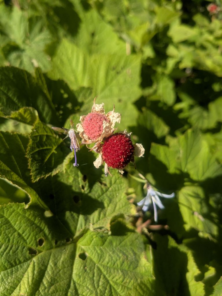
The descent to the river was mostly uneventful. I stopped a few times along the way to snack on the thimbleberries growing beside the trail. As I dropped in elevation, the temperature grew warmer. Before long, Swish and I arrived at the banks of the Feather River and “Belden”.
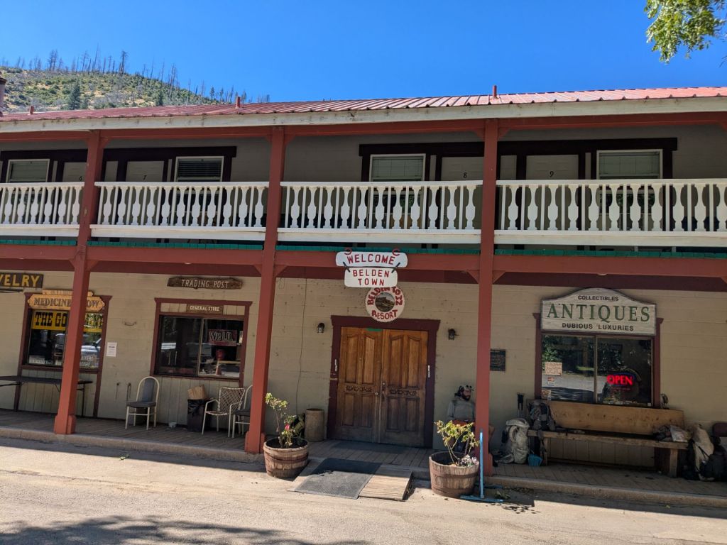
Belden, as it turns out is not really a town. It appears to be a run-down motel in the forest, surrounded by a few trailers and cabins, porta-potties, and further back in the woods, some semi-permanent-looking tent encampments. These looked more homeless than hiker-like. A man there servicing some porta-potties told us that this strange place serves as a venue for “pot festivals”.
Signs indicated a restaurant and a store inside the main building. That’s where I wanted to go. But the place looked deserted. It was definitely closed right now, if not permanently.
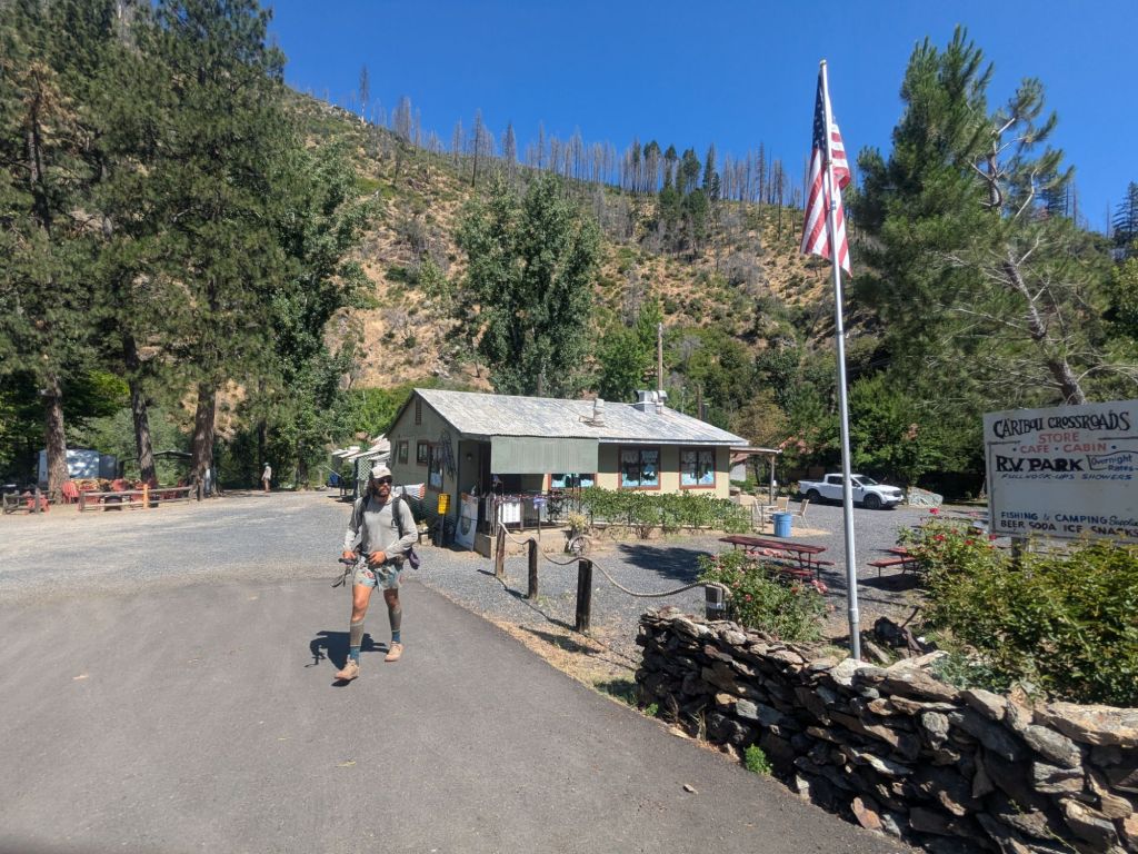
Eager to resupply, Swish and I hitched 2 miles down the highway to an RV park called Caribou Crossroads. It was a tough hitch, and it took us almost 15 minutes to get a ride. We were picked up by a woman who turned her Subaru Crosstrek around on the highway and went out of her way to give us a lift. We arrived at the RV park only to find that this place was closed as well. Today was the one day of the week it wasn’t open. Tough luck!
There was nowhere for cars to pull over near the RV park to hitch back to Belden. So we ended up walking on the narrow-to-nonexistent shoulder of the highway. Luckily there was little traffic. However, whenever cars did come by, I was forced to dive into the brambles next to the road. Soon, my dress, shoes, and gaiters were full of hundreds of tiny burrs. My skin itched and chaffed and the sun beat down on me as I made the unpleasant trek back to Belden.
Once in Belden, I decided to sit on the motel porch and wait around to see if the store/restaurant would open for lunchtime. I really needed to resupply, and if the store didn’t open, I’d face a long and complex hitch to reach a larger town to find food.
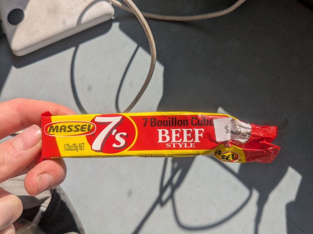
Fortunately, the store/restaurant opened. Inside, the place was much nicer than the outside: shabby, but welcoming and comfortable. The store was tiny and expensive, but I managed to buy enough snacks for the next day and a half to make it through the next 44 miles of the PCT to Chester, CA. I spent nearly as much as I might spend for a 4 or 5-day resupply at a proper supermarket. They didn’t have electrolyte packets, so instead I bought bullion cubes. With 450 mg of sodium each, I figured I could use these to stave off hyponatremia in a pinch.
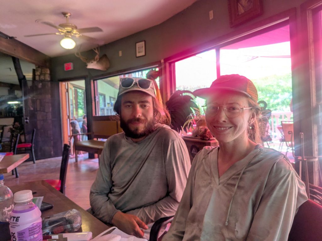
I hung out at the restaurant for a long time. It was hot, and I had no desire to start the long, exposed climb up from the river until the late afternoon. Temperatures would start to drop by then, hopefully. Over the hours, several of my hiking friends slowly trickled in and joined me at the table.
Around 4 pm, I started packing up. It was still hot, but I was getting antsy to hike. I walked from the restaurant to the nearby river, where I took a quick dip to cool my body off before the big climb. I also rinsed out one of my two pairs of dirty hiking socks. The burn areas really do a number on socks. Mine were nearly black with ash.
I crossed the river and the road, and began hiking uphill. Over the next 15 miles, the PCT gains 5,500-feet of elevation – that’s over a mile of climbing! And it wasn’t easy. Even in the evening, I really struggled with the heat. Terrifyingly, today and tomorrow are supposed to be the “cool days” before a bad heatwave. By cool, I mean low-mid 80s.
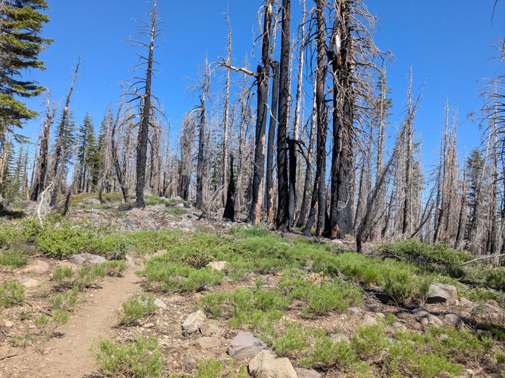
Around sunset, the trail entered a particularly large and intensely burned fire scar. The ground was pure ash, and there were dead standing trees as far as the eye could see. AC, Swish, and I ended up hiking until about 10 pm. I didn’t really want to hike that late, but it took me a long time to find a place to camp that was flat and not directly underneath a standing dead tree.

Between my struggles to resupply, the hot climb, and the lack of camping in the burn area, today was an especially brutal one. I laid out my Tyvek and mat at my mediocre campsite, shoved a few candy bars into my mouth, and was asleep as soon as my head hit my pillow (i.e., stuff sack).
Day 66
The alarm went off at 4:45 am. After baking in the sun on the hot climb yesterday, I aspired to beat the heat today. But after 6 hours of sleep, my lofty aspirations now felt very unreasonable. I rolled over and went back to sleep.
Even with my snoozing, I started hiking by 7 am. My body and feet felt stiff today. I’d only hiked 20 miles yesterday, but it had been an unusually rough 20-miler. Burn areas are as tough as the desert!
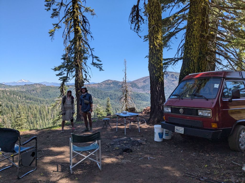
Fortunately, my day only improved after my tough morning. On a dirt road, we came upon a microbus and a sign for trail magic. A trail angel named Howard was serving up muffins and fruit. It was a wonderful surprise, and vastly improved my mood.
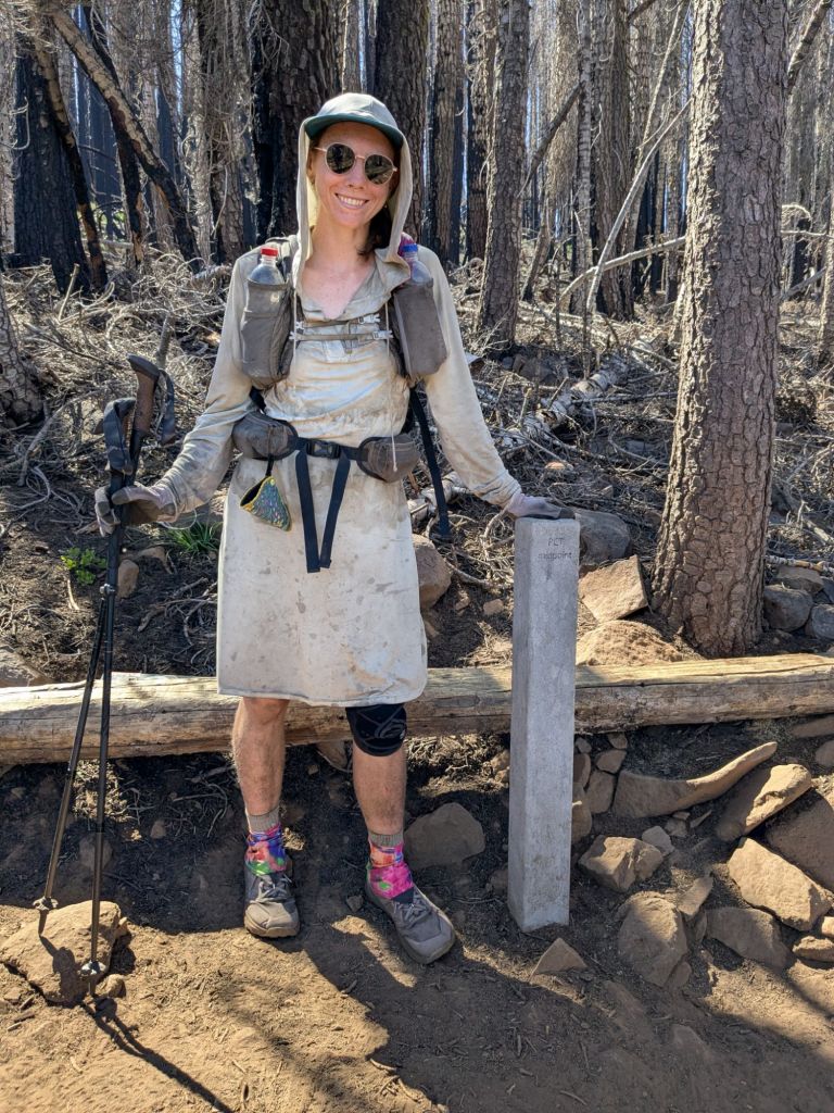
After the trail magic, I continued through the burn area from the Dixie fire – one of the largest fires in CA history. I made good time despite taking many breaks. And thankfully, the temperature remained just warm rather than scalding. Also noteworthy: I crossed the halfway point on the PCT today! Sadly (but perhaps fittingly?), it is located in the middle of a burn area.
I’d planned to camp within 3 miles of the highway to Chester, CA. But once I got there, it turned out to be private land and severely burned all the way to the highway. Though it was getting late, Swish, Jukebox, and I all pushed to the highway and made it to town tonight!
It was after 7 pm, so I hoped we’d get a hitch quickly. Amazingly, a car was already pulled over when we reached the road. It was a local woman dropping off a few hikers at the trailhead. We realized we’d actually seen her the previous day, swimming at the river near Belden. The woman, named Marissa, agreed to give the three of us a ride to town.
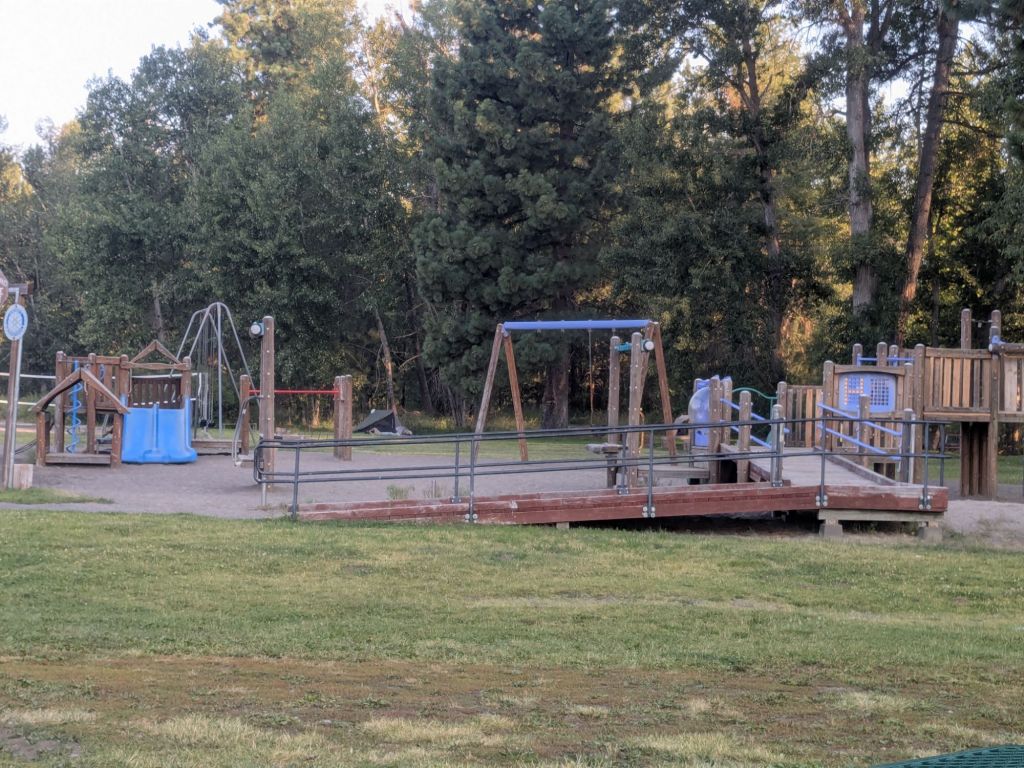
Marissa dropped us off at the grocery store and suggested that we could probably sleep in the local park. After grocery shopping, we headed there. We found a few tents already sneakily set up in the woods behind the playground. Jukebox, Swish, and I opted to cowboy camp on a wooden stage in the park. It looked remarkably similar to an oversized Appalachian Trail shelter and was a very comforting place to fall asleep.

Leave a comment