
South Lake Tahoe to Sierra City.
Miles 1,091 – 1,196.
Days 57 – 61.
To thru-hikers, South Lake Tahoe marks the end of the Sierras and the beginning of a whole new section of the PCT: Northern California or “NorCal”. Roads and resupply options become relatively more abundant when compared to the Sierras, as thru-hikers continue north.
Day 57
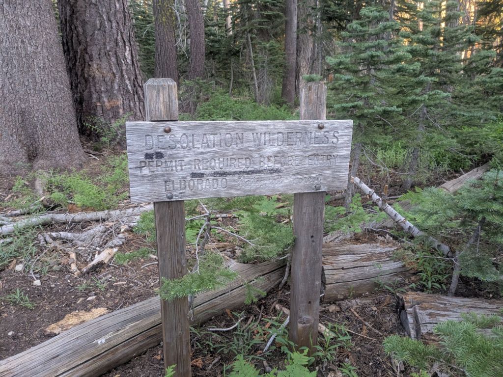
I left town later than planned. To start this next section of the trail, I needed to cross the ~25-mile section of the PCT through the Desolation Wilderness in a single day. This wilderness area requires bear cans for overnight stays. And I’d just sent mine home to save some pack weight.
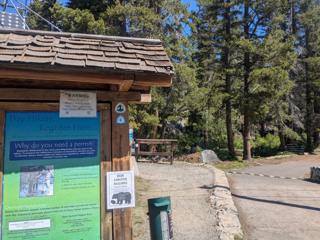
Trail Angel David, who’d helped me slack pack when I first reached the South Lake Tahoe area, gave me a lift. He dropped me and Swish off around 11 am, and we began our long hike across the Desolation Wilderness. This area is super popular with day hikers, weekend backpackers, and boaters.
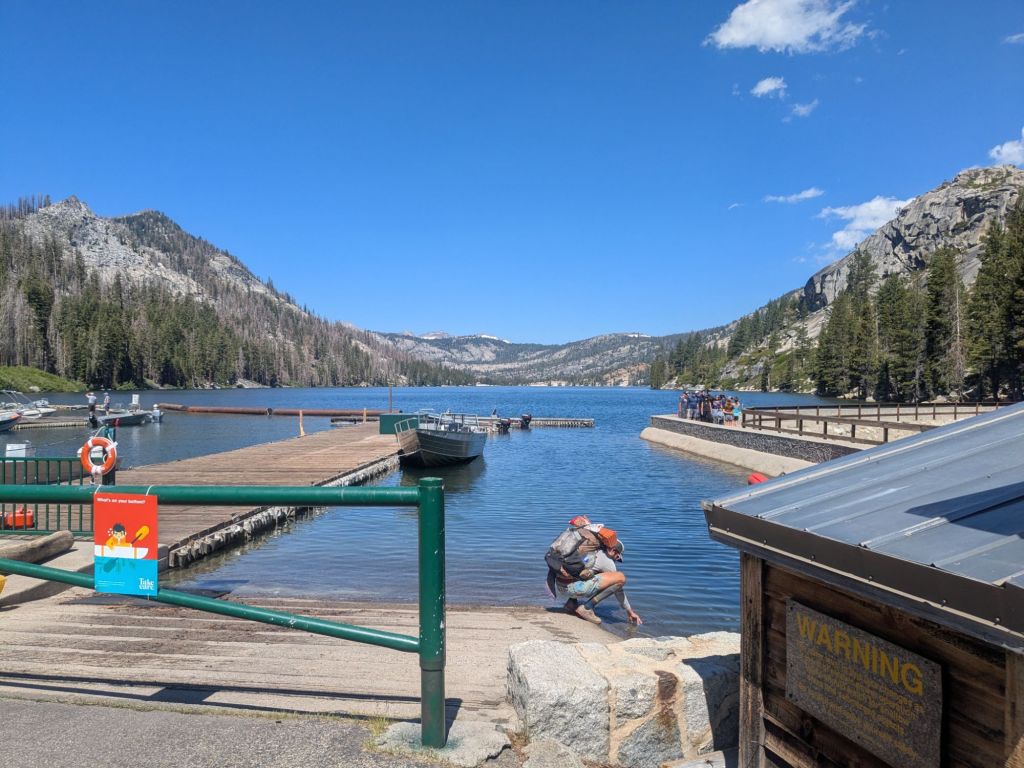
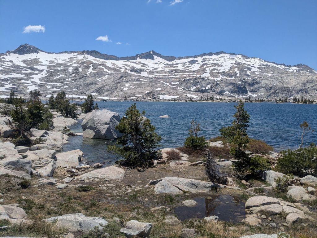
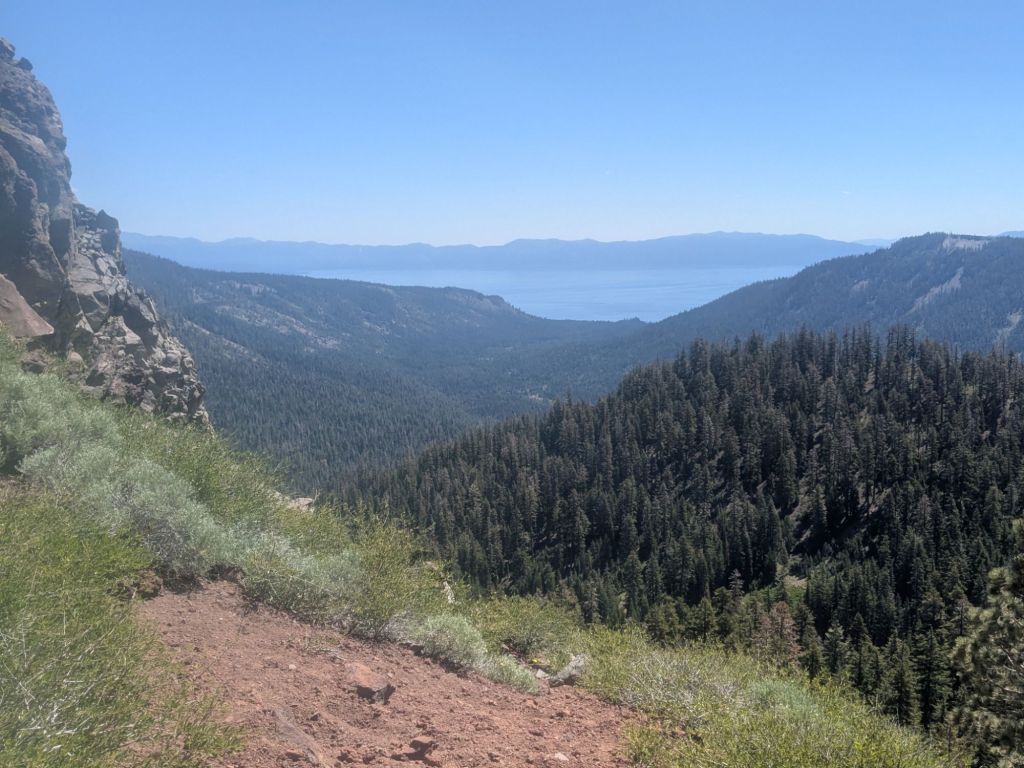
The wilderness area itself was quite scenic. About an hour and a half after I started hiking, I stopped for lunch. I enjoyed a really nice lunch spot at a beautiful lake. It was surprising how much snow there was on the surrounding peaks and ridges. It was really hot by the early afternoon and I sweated profusely on the climbs.
By 4:30 pm, I only had 10 miles left to reach the edge of the wilderness area. I just hoped I’d find a campsite shortly past the boundary. After two days off hiking proceeded by two short days, my legs were feeling weird. I was ready to reach camp.
About 2 miles before the wilderness boundary, I came upon a small group of hikers camped on the side of the trail. I recognized one: Gordo! I hadn’t seen him since Agua Dulce – almost 800 miles ago! It was great to chat and catch up with him. Gordo now has a trail name: TipToe, referring to how he walked while suffering from a foot injury.
I finally made it to the wilderness boundary. And within a half mile or so I found a decent campsite with a great overlook of the mountains. The mosquitoes were pretty bad around dusk, but nothing a little DEET couldn’t fix. I enjoyed my dinner and was soon asleep.
Day 58
I slept fantastically. This might have been the first night of the trail that I slept all the way through the night without waking up even a single time. Even so, I had quite a sluggish morning breaking camp. I started hiking around 8 am.
Around noon, I ran into Yi-Ting. I met Yi-Ting while night hiking on the aqueduct before Tehachapi. I hadn’t seen her since Kennedy Meadows South before the Sierras. We stopped for lunch together and it was great to catch up.
Recently, I’ve been seeing more and more hikers I know. Between Mammoth and South Lake Tahoe, I’ve taken quite a few zeros and neros recently, and it has allowed me to get back in sync with friends who were a day or more behind. Though it also means I’ve fallen behind a few friends who are on a tighter schedule to finish in time for jobs, school, etc…
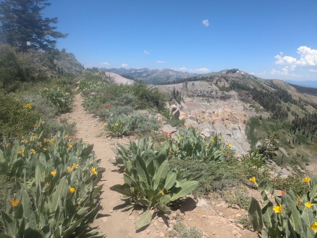
After lunch, the trail headed up onto a rocky ridge with beautiful wildflowers and great views. Two miles into the ridge, I realized that I’d missed the last water source and the next one wouldn’t be for another 6 miles.
Fortunately, I had just barely enough water to make it. But I realized I should be more careful. In the Sierras during snowmelt, water was ridiculously abundant. Too abundant really – the trail was often just a stream of runoff. During those times, I rarely carried more than a liter and a half. I also rarely checked the distance to the next water – the water was simply everywhere.

But now that I’m in Northern California, water won’t be quite as available. I’ll need to start being careful again and tanking up accordingly for dry stretches.
As the afternoon went on, clouds rolled in. A mile or so before my planned campsite, it started to rain. I power walked the final mile to my planned campsite. It was thundering when I got there. I quickly ducked into the forest, crouching and eating my dinner as the storm passed.
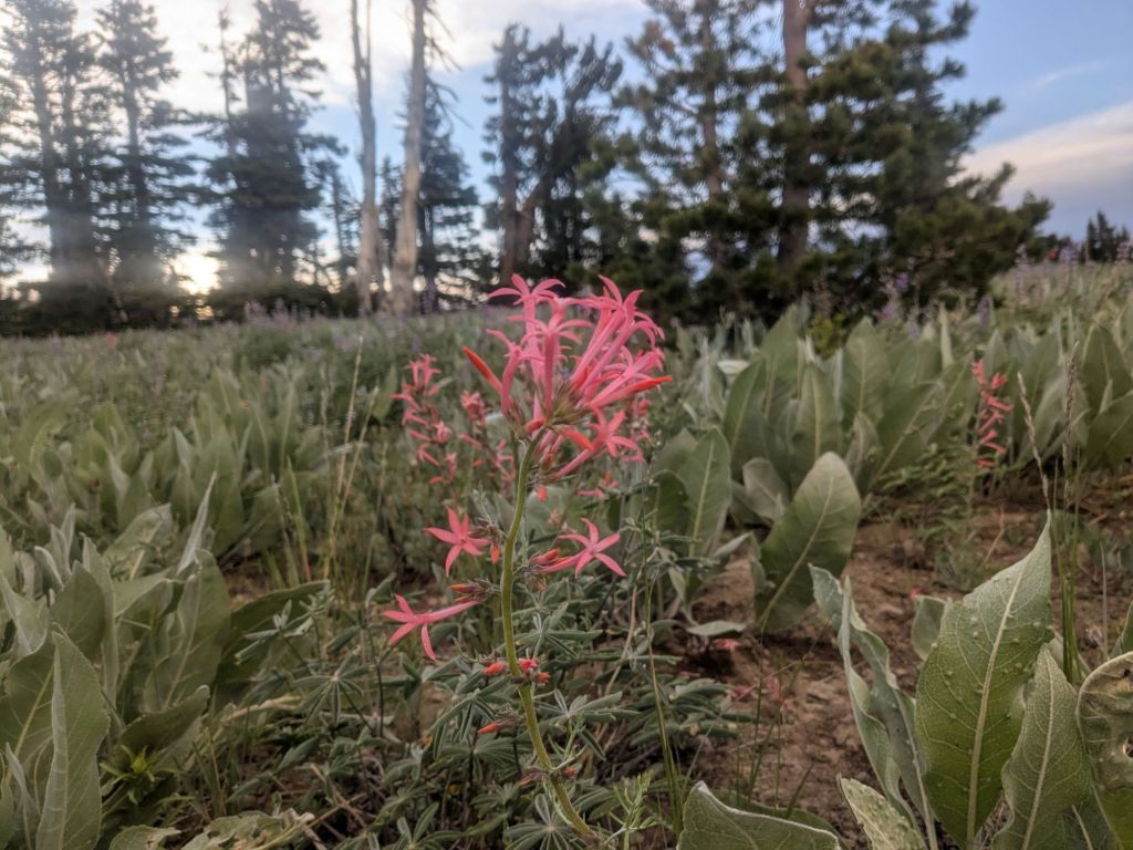
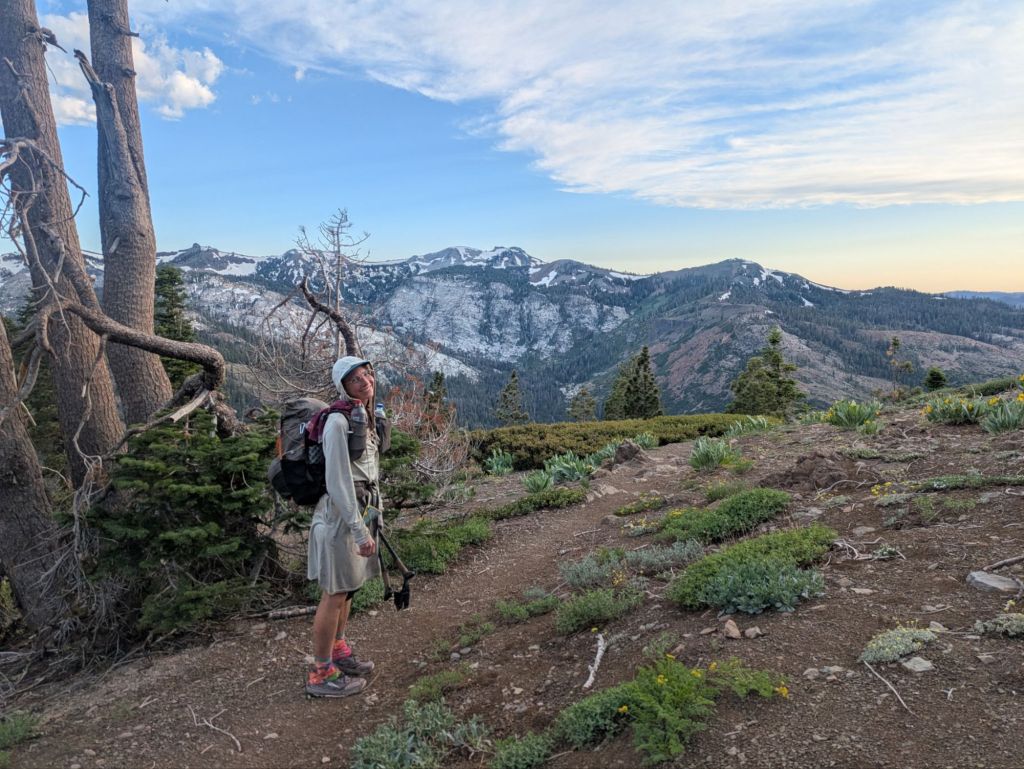
The storm rolled through quickly, soon revealing blue skies again. Since it was early, I decided to carry on a little further. The next bit of trail would take me up onto an exposed ridge near Tinker Knob. But with the storm now gone, I figured camping on the ride would be nice.
Turned out it was more than nice! My ridge walk this evening was one of my favorites of the trail so far! I hadn’t hiked much during the golden hour recently, though it’s my favorite time of day. This ridge felt like it was meant to be hiked at sunset! The beauty of this area energized me, and I finished out a 29-mile day feeling strong.
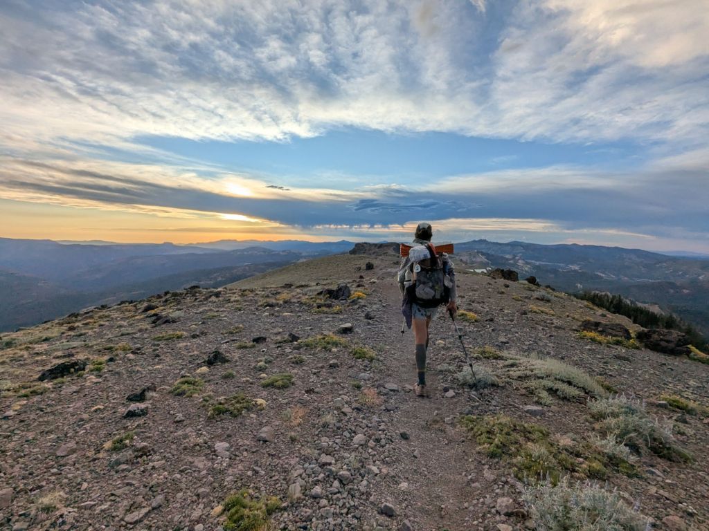
The trail eventually dropped down to a wildflower-covered saddle on the ridge – a perfect scenic campsite! I am blown away by the beauty of this area. I entered Northern California knowing very little about this portion of the PCT. But if today is any indicator, I’m going to love this section of the trail!
Day 59
This morning, I headed down off the ridge toward Donner Pass. Yes, that Donner Pass. The one made infamous when the Donner Party was snowbound there in the winter of 1846 and resorted to cannibalism.
To get there, I summited Mount Lincoln, which involved one of the steepest climbs I’ve done yet on the PCT. This was Appalachian Trail-level steepness! While the PCT doesn’t technically go over the Mt Lincoln summit, many hikers go this way to avoid a large and steep snowfield on the actual trail.
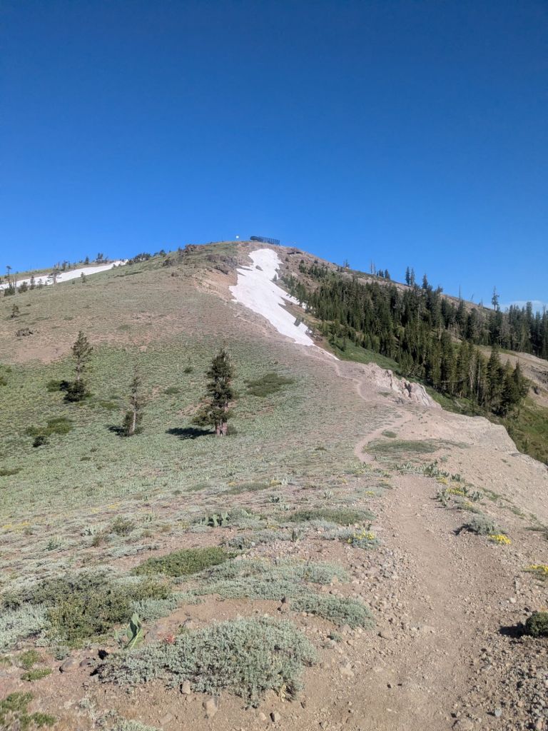
The trail in this area crosses through many ski areas. In the late morning, I reached a road crossing where I could walk a short way down the road to a restaurant at Donner Ski Ranch. While not a full resupply stop, I really enjoyed my break and some waffles here. The restaurant also offers a free 40-oz beer to thru-hikers. But as I arrived at 10 am, I decided to decline my free beer.
Shortly after Donner Pass, I crossed under Interstate Highway 80. I hiked with Swish and Extra until I got hungry and stopped for lunch. I was crashing from my sugary waffles and coffee. While I’d gotten a temporary burst of energy, my mid hike restaurant meal left me ultimately feeling ill.

It’s been a real struggle figuring out how much, how often, and what to eat on this trail. Recently, I have eaten a ~200-calorie snack every hour while hiking. I’ve done this ever since I actually almost ran out of food before Mammoth – what I now refer to as my “starvation incident”. I’m already getting sick of a lot of snack foods and many are difficult for me to digest while on the go.
It seems that if something is even a little off with my fueling or hydration, I’m left feeling pretty depleted and low-energy while hiking. Fortunately for my morale, I ran into two other thru-hikers, Forerunner and AO. Hiking and chatting with them provided a much-needed distraction on a tough day. After a slog of an afternoon, the last several miles to camp actually flew by, as I walked and talked. I made it 28 miles despite it being a rough day.
Swish, AO, and I cowboy camped together. AO is a cross-country coach and is the only hiker I’ve ever met who carries a foam roller in his pack. I really enjoyed rolling out my tight glutes and hamstrings at camp.
Day 60
20 miles to town.
That was the only thought in my head as I woke early, packed up, and started down the trail. And what an easy 20 miles it was! With ~5,000 feet of descent and less than 2,000 feet of uphill, I was flying!
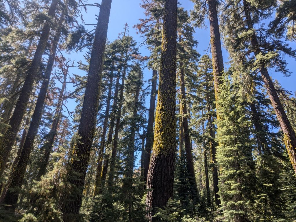
While easy, the trail wasn’t especially beautiful today. Many of the thru-hikers around me commented that the forest in this area looks sick. There are tons of dead debris on the forest floor, as well as dead standing trees. We speculated that this area looks so unwell due to a long history of fire suppression in this area – there are many cabins and houses around here.
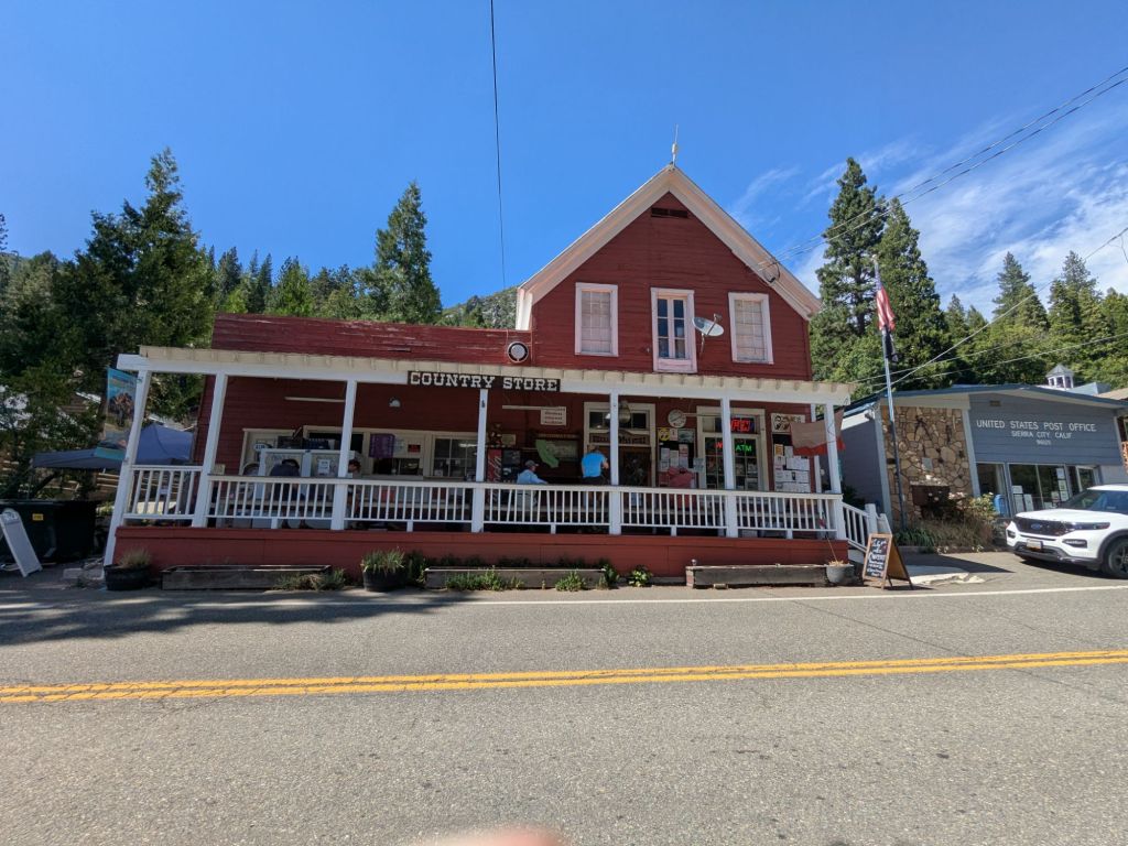
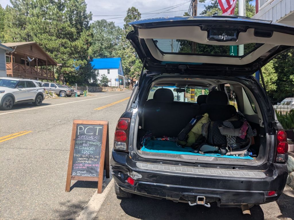
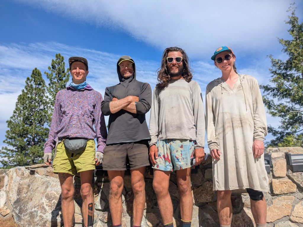
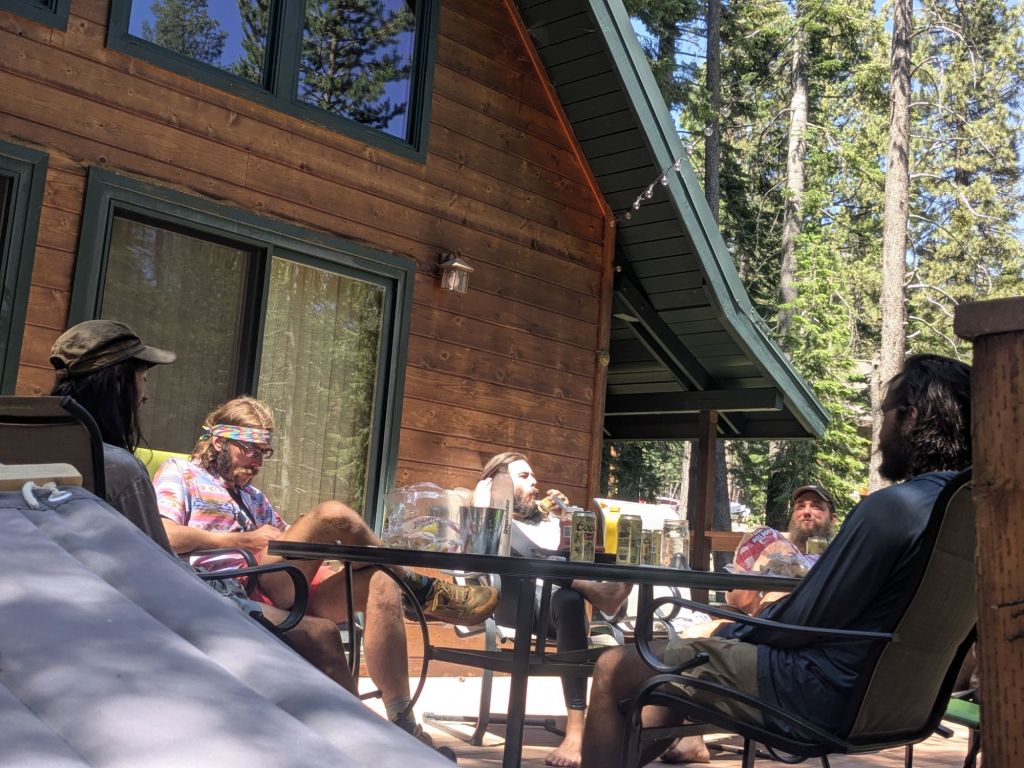
I finished my hike and arrived at the road by 2 pm. From there, I hitched with Forerunner to the teeny tiny town of Sierra City. This place was basically just a general store, public toilet, and hotel. However, when I got there, I found something even better: a big group of many of my friends, all hanging around on the general store porch!
It wasn’t an accident that everyone was congregating here. That’s because tonight, Stag’s Dad and sister were coming out to trail to visit and provide us all with some trail magic. They had an AirBnB near the trail, and 10 of us hikers were planning on heading there to zero on the 4th of July!
Rather than wait around Sierra City, Swish, Pip, Extra, and I decided to head into Truckee for a bit. Though Truckee wasn’t near Sierra City, it was a bigger town for us to kill some time and resupply in, and would be a closer drive to the Airbnb when Stag and his fam came to pick us up. Pip arranged a shuttle for the four of us to Truckee with a man who works at the Sierra City hotel.
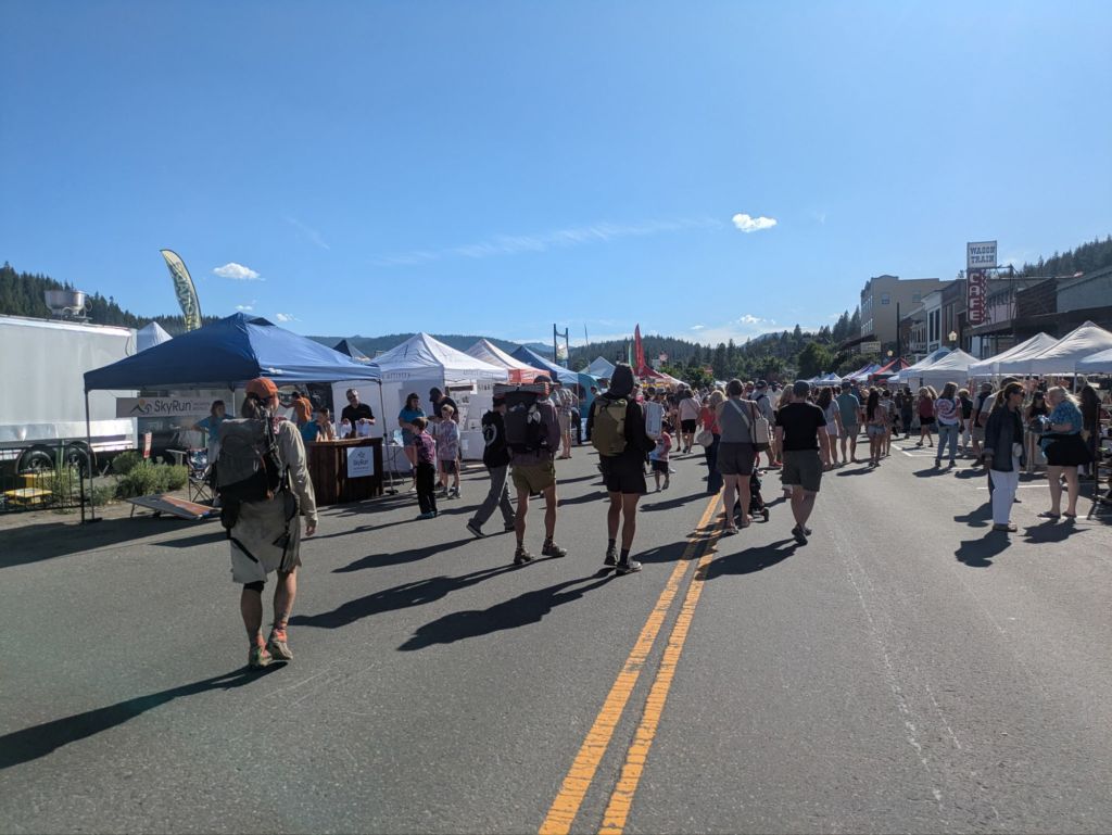
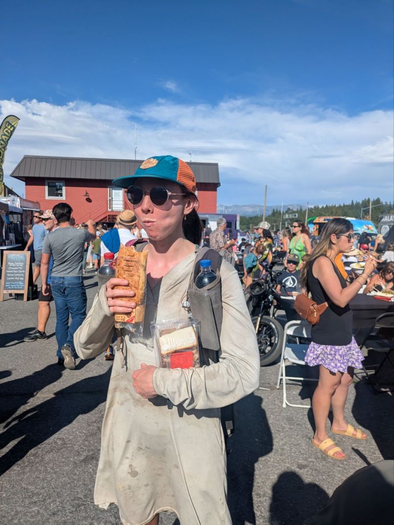
When we arrived in Truckee, we found ourselves in the middle of a huge street festival. Feeling a bit of culture shock after being on the trail, we wandered into the crowd in search of food and somewhere to relax in the shade. All four of us looked pretty out of place with our dirty packs and sweat-stained clothes, amongst all the sparkly clean people. Folks were definitely looking us up and down with confusion and maybe just a little disgust.
Having had enough of the crowd, we made our way down to the Truckee River. We found a nice picnic table where we chilled on the cool river banks for a few hours. It was very relaxing, but at this point, I’m starting to feel like I’m not even a real thru-hiker – just a moderately homeless person who loiters in the Truckee-Tahoe area.
Later on, Swish, Pip, Extra, and I made our way to the grocery store to resupply. From there, Stag picked us up and took us to his Dad’s Airbnb nearby. I was tired from a long, strange day and soon collapsed into my bunk.
Day 61
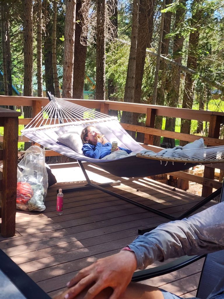
Today was the 4th of July and a zero day! That meant no hiking, but lots of eating and relaxing at Stag’s family’s Airbnb.
I slept in, and woke up to the smell of pancakes, eggs, bacon, and coffee! What a great way to wake up. Stag’s wonderful Dad and sister took it upon themselves to not only house but also feed 10 hungry thru-hikers for the holiday. Considering we all easily eat 4,000-6,000 calories per day, that’s not an easy task!
After a wonderful breakfast, I lounged until lunchtime, snacking mostly. Then Jukebox grilled up some hot dogs on the grill on the Airbnb porch.
Mostly, I reclined in the hammock and enjoyed a totally stress-free zero, having already resupplied. It was a wonderful holiday, and I’m excited to get back to the trail tomorrow. As fun as my adventures in the Truckee-Tahoe area have been, I know it’s high time to move along.

Leave a reply to dreamilydeer9fa195edad Cancel reply