
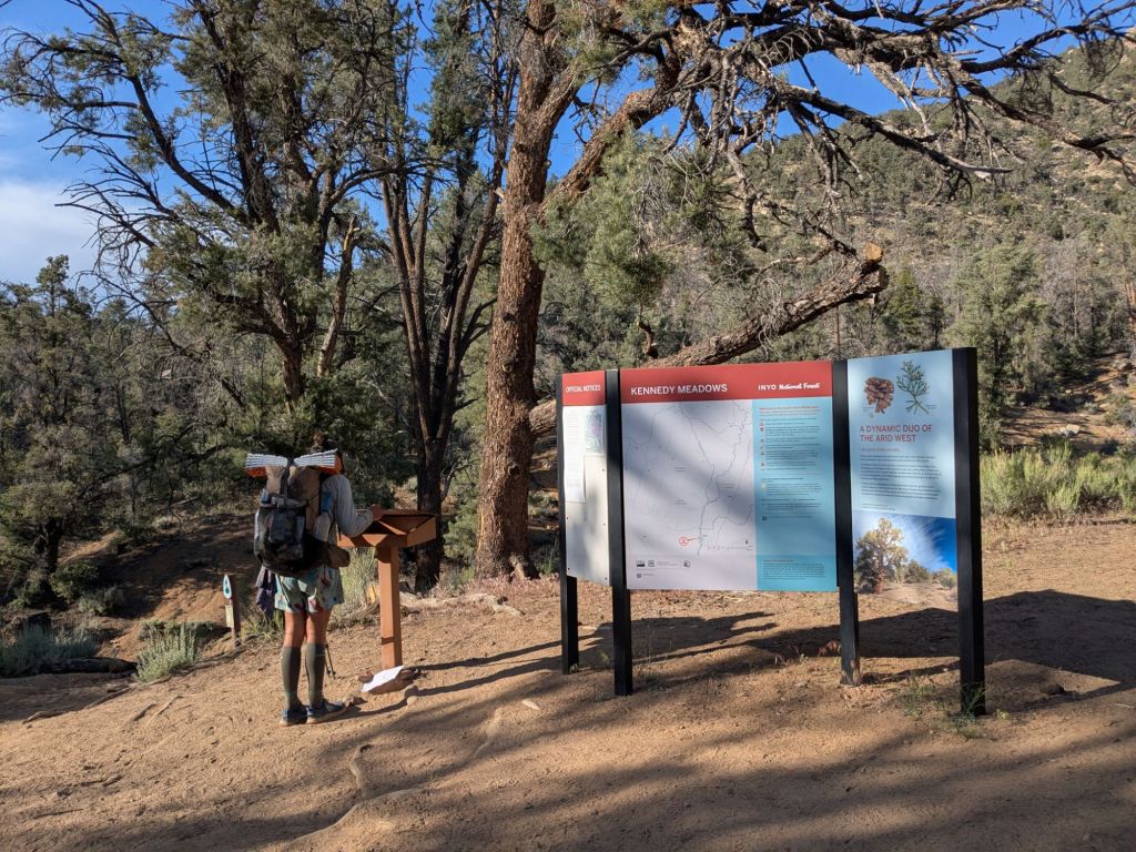
Kennedy Meadows to Independence.
Miles 705 – 790.
Days 33 – 37.
After Kennedy Meadows, the PCT begins gradually climbing into the High Sierra. Hikers are rewarded for their endurance with mountain views and pine forests. The PCT passes near Mount Whitney, the tallest mountain in the continental US. Shortly after, the trail reaches its high point atop Forester Pass (~13,200 feet), where hikers can expect to see snow in late spring and early summer. After descending from Forester, thru-hikers can take the long Kearsarge Pass side trail to access the resupply town of Independence.
Day 33
My day started waking up at the campsite of trail angels Legend and Bianca, who were serving up trail magic in the form of pancakes and coffee! Yum!
Thanks to the delicious breakfast and good company of the other thru-hikers there, I lingered longer than I’d planned to. I’d been hoping for an early start, as I wanted to do about 27 miles today, before reducing my pace for the remainder of the haul to Independence, CA – my next resupply point.
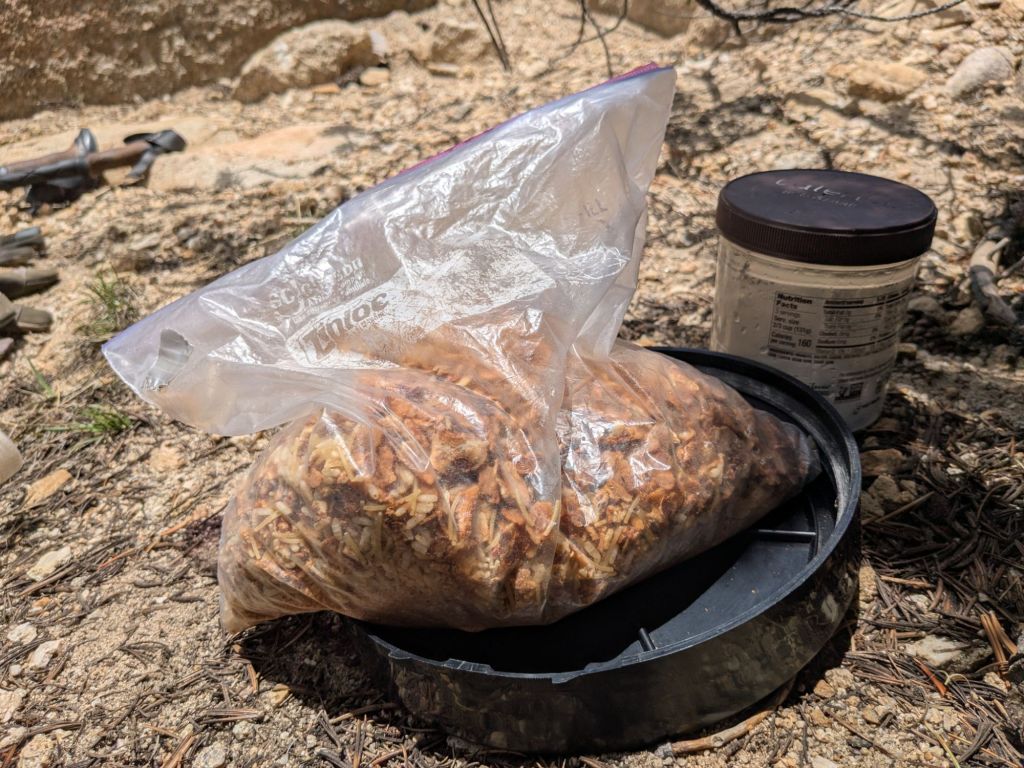
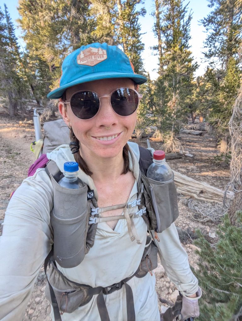
I headed up the trail into the Sierras with 5 days of food in my bear canister. Amazingly, my canister wasn’t even that full. Carrying a bear canister in a frameless pack like mine isn’t the most comfortable thing, and I know I’ll need to do some experimenting to find the best way to carry the container.
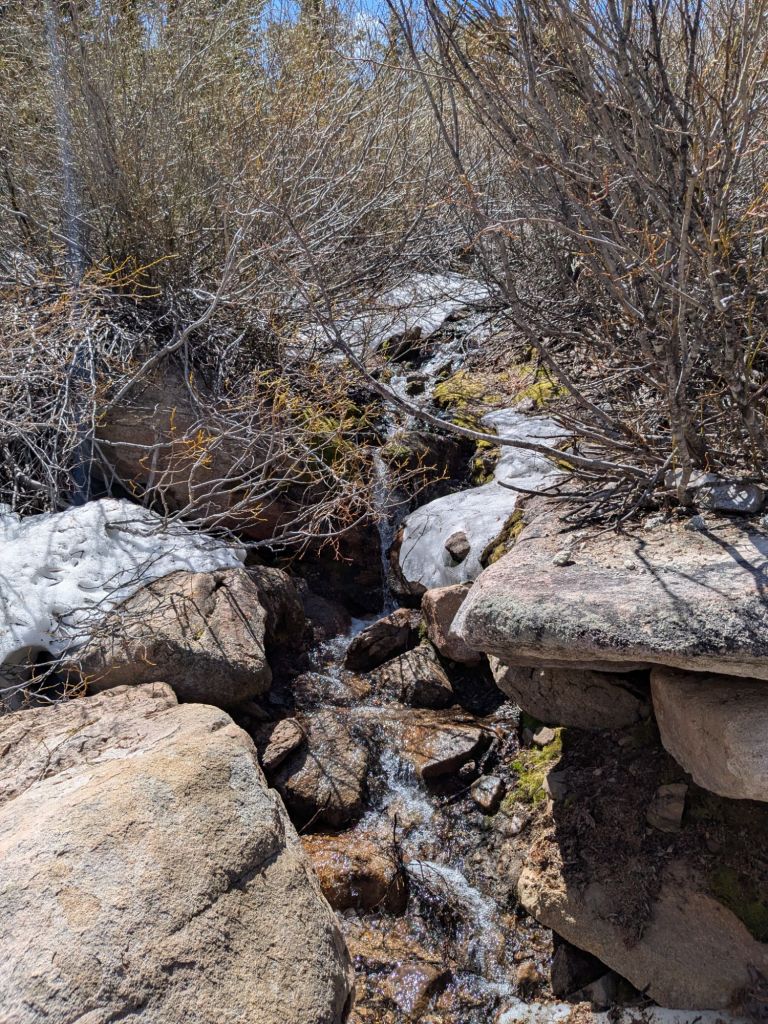
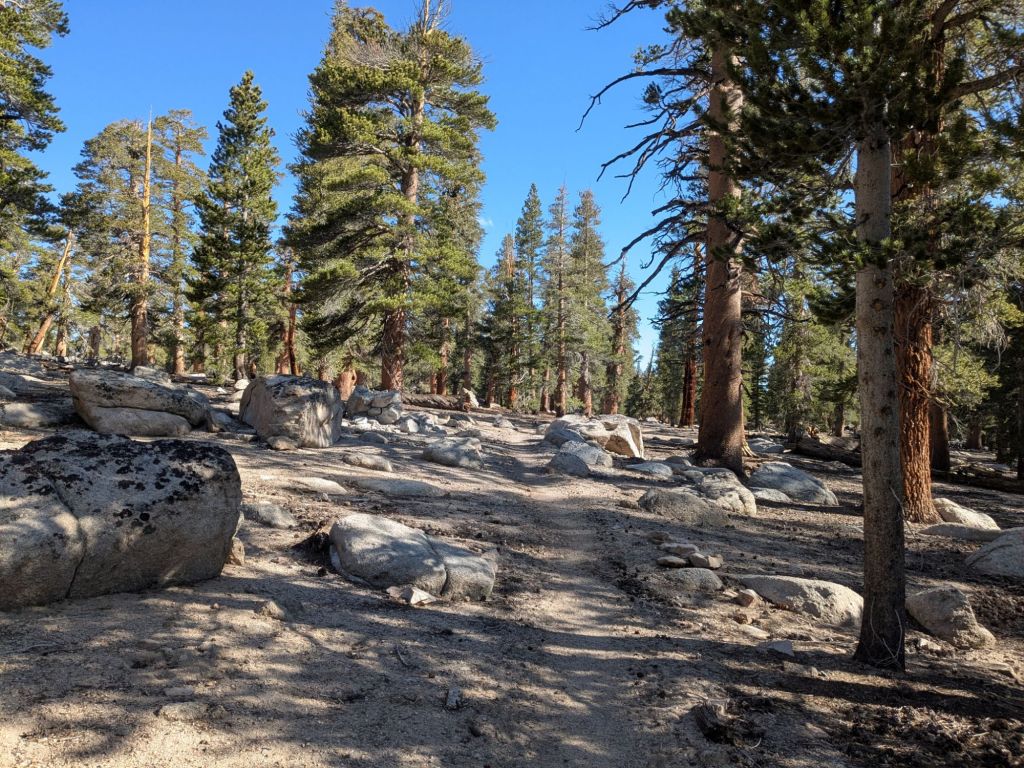
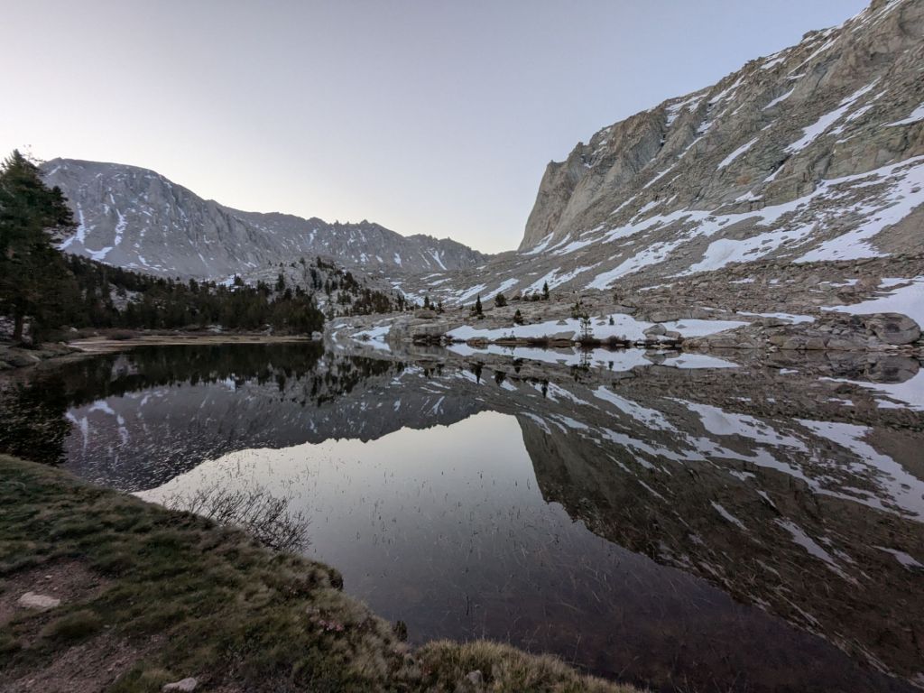
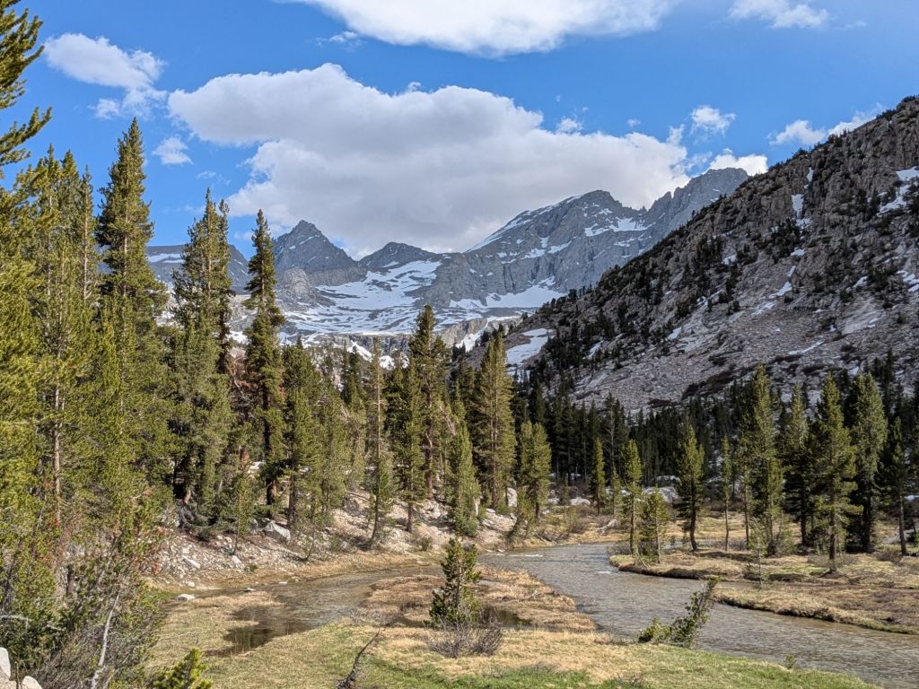
The trail climbing up into the Sierras gained altitude gradually. Soon enough, I felt truly out of the desert. The Joshua Trees and sandy hills were replaced with pine forests and abundant water sources. Soon, I was above 10,000 feet!
After lunch, I decided to look forward in the guide app at the coming days. I knew that the ~17-mile round-trip side trip to the summit of Mount Whitney would come up in this section. Mount Whitney is a 14,000+ foot mountain peak and the tallest mountain in the lower 48. It’s also an extremely popular PCT side trip and one I felt eager to try. Typically, thru-hikers camp at the turn-off to the Whitney side trail and then hike up it in the morning. But I didn’t know where that was relative to my location.
As I looked at my guide, I realized I had a problem. To camp at the turn-off to Whitney, I’d either need to hike 30+ miles tomorrow to summit Whitney the day after, or hike two very short days and summit later. After some waffling, I opted for the higher mileage. I’d be able to eat more of my food each day that way.
I hiked a little further than planned in the evening to cut down a bit on my large mileage for the following day. By the end of the day, I hiked about 29 miles total – a distance I’m not unfamiliar with. Swish and I joke that we don’t hike 30s… Just a whole lot of 29s.
Day 34
Day 34 was a tough day. To make it to my planned campsite at the turn off for the side trail to Mount Whitney, I’d need to hike almost 33 miles. This felt very daunting for some reason. Yes, I’ve hiked plenty of other days in the high 20’s and low 30’s. But usually, I don’t plan on going quite that far, and end up doing bonus miles in the evening to make it happen by accident.
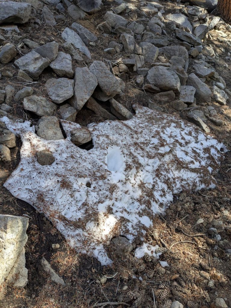
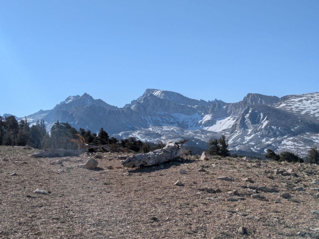
The day involved plenty of ups and downs at high elevation – around 10,000 feet above sea level or so. The scenery was quite distinct from the desert. Up here, the main type of vegetation is pine trees. There is almost nothing living in the understory – just a lot of sand, rocks, and gravel. It feels like being on the surface of the moon, if the surface of the moon had pine trees.
I struggled more with high elevation than I usually do. Coming from Colorado, I assumed that I’d thrive in the Sierras due to being acclimatized to high elevations. But my body was tired from hard hiking the previous day, and I found myself struggling up the climbs and walking much slower than usual.
Notably, today I crossed into Sequoia National Park. Shortly before my second lunch, I ran into two backcountry rangers out on patrol. They asked to see my long distance backpackers permit (the first time my permit was checked since the southern terminus.). The rangers then quizzed me on various leave no trace principles and park regulations, and launched into a prepared lecture about bear canisters (I carry one, per regulations.) and staying in the areas covered by my permit only. It was an odd interaction overall, and I get the sense that the rangers have received pushback from PCT thru-hikers in the past, based on the way they interacted with me.
My day improved when I met a section hiker named CeeCee. CeeCee thru-hiked the PCT last year and was out for a short trip on one of her favorite parts of the trail. She gave me trail magic – a mandarin orange! I had not expected to receive trail magic on this very remote part of the PCT, and the snack as well as meeting CeeCee definitely brightened my day.
After a long day of hiking hard, I finally reached my campsite near Whitney Creek and the side trail to Mount Whitney. Tomorrow morning, I would attempt to summit the peak. I tried to get to bed early, to get some sleep before an early alpine start… Cowboy camping to save myself time packing up my tarp in the morning.
Day 35
The 3:00 am alarm went off. I was lying in a field under my down quilt and it was absolutely freezing cold. I could see my breath and my pack glistened with frozen condensation. I reached down and felt the outside of my quilt – also soaked in condensation. Ugh.
Rather than wake up and deal with the situation, Swish and I opted to go back to sleep for another 30 minutes. Unsurprisingly, at 3:30 am, conditions had not improved. But we got up and begrudgingly packed our things.
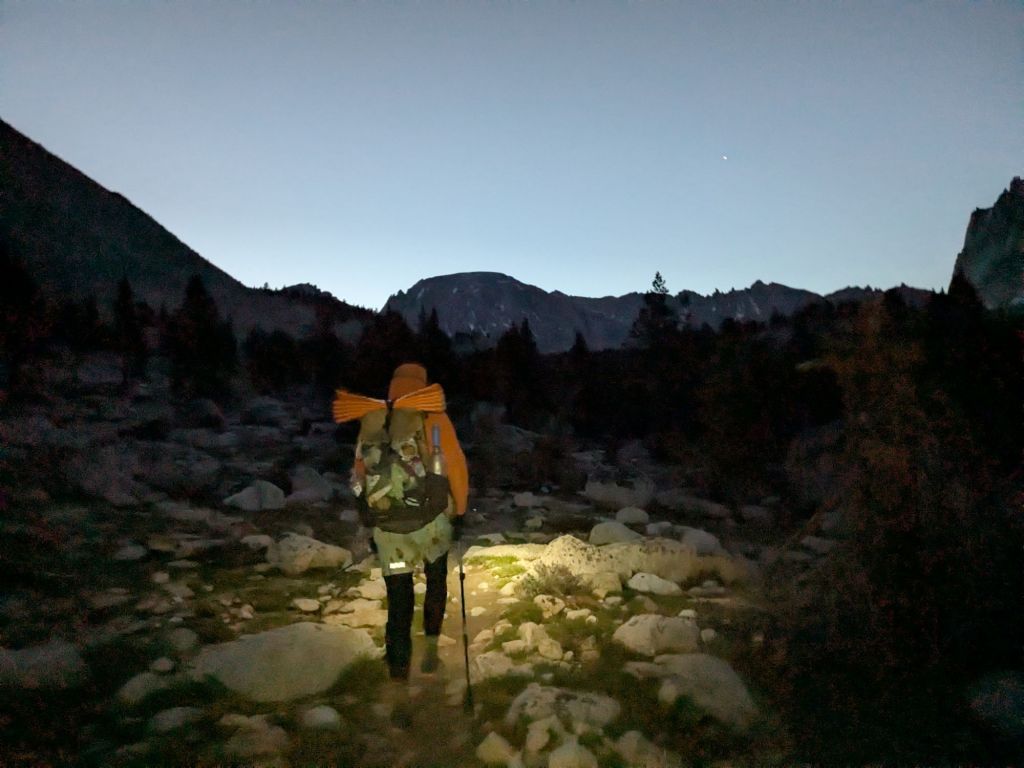
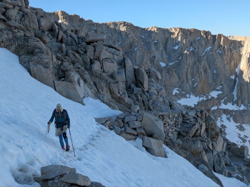
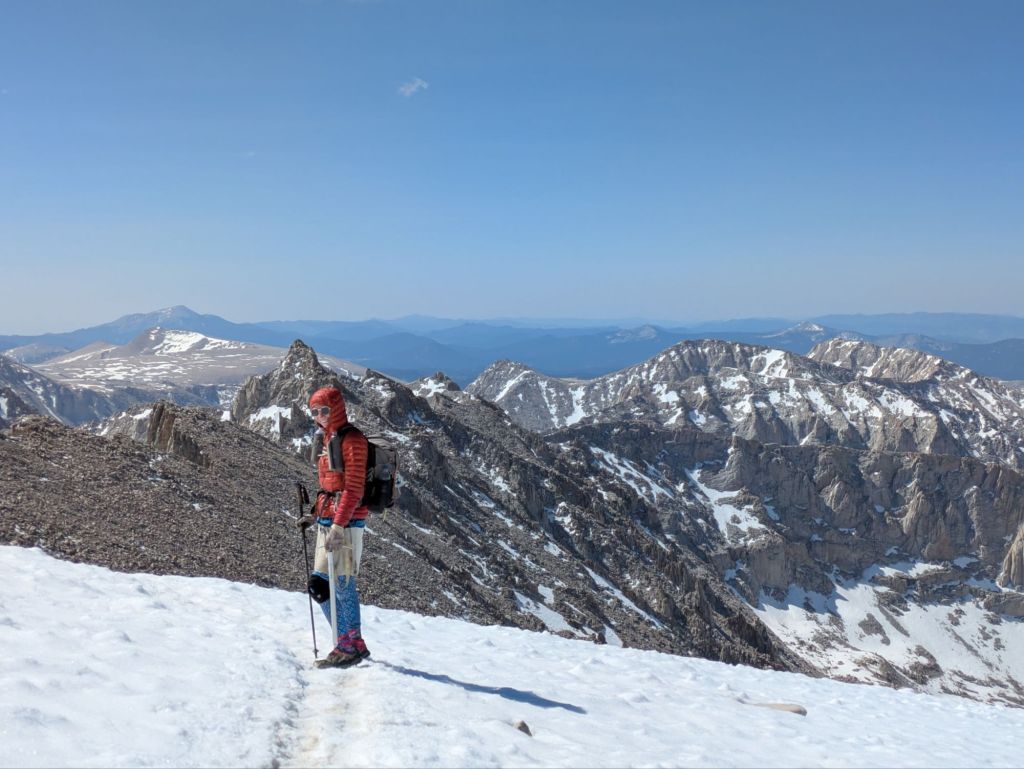
To reach the summit of Whitney, we would hike a challenging 8.7 mile side-trail with about 4,000 feet of elevation gain. My hike started in the dark by headlamp, wearing every layer I had. We immediately hit our first challenge – fording Whitney Creek.
I stripped off my shoes and socks, and entered the creek. The ford was not a challenging one, but the water was as cold as ice early in the morning. I lost feeling in my feet by the time I reached the opposite bank.
After shoving my wet, numb feet back into shoes and socks I continued walking. Frustratingly, it wasn’t long before the trail crossed back over the same creek again. By the beam of my headlamp, I tried to rock-hop the creek, but slipped on an icy rock. I fell in up to both knees – soaking my shoes, socks, and the bottom half of my leggings. Things were not off to a good start.
While walking in the dark, I spotted a coyote running away from the trail. By the time I reached treeline, there was enough predawn light to see without my headlamp. At that point, the trail diverged from the valley and creek, and the real climbing began. It wasn’t long before I was breathing heavily. I’d never felt this bad this low on a 14er. Would I make it to the top?
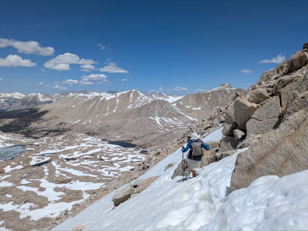
Fortunately, it wasn’t long before the trail hit a section with more gently-graded switchbacks, and I found myself feeling better. Swish and I walked slowly – focusing on enjoying ourselves and the views rather than hitting any specific pace. We had all day, after all.
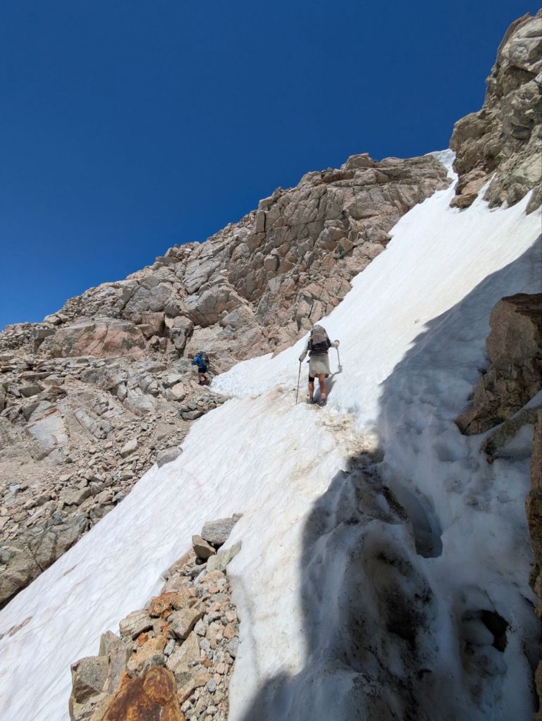
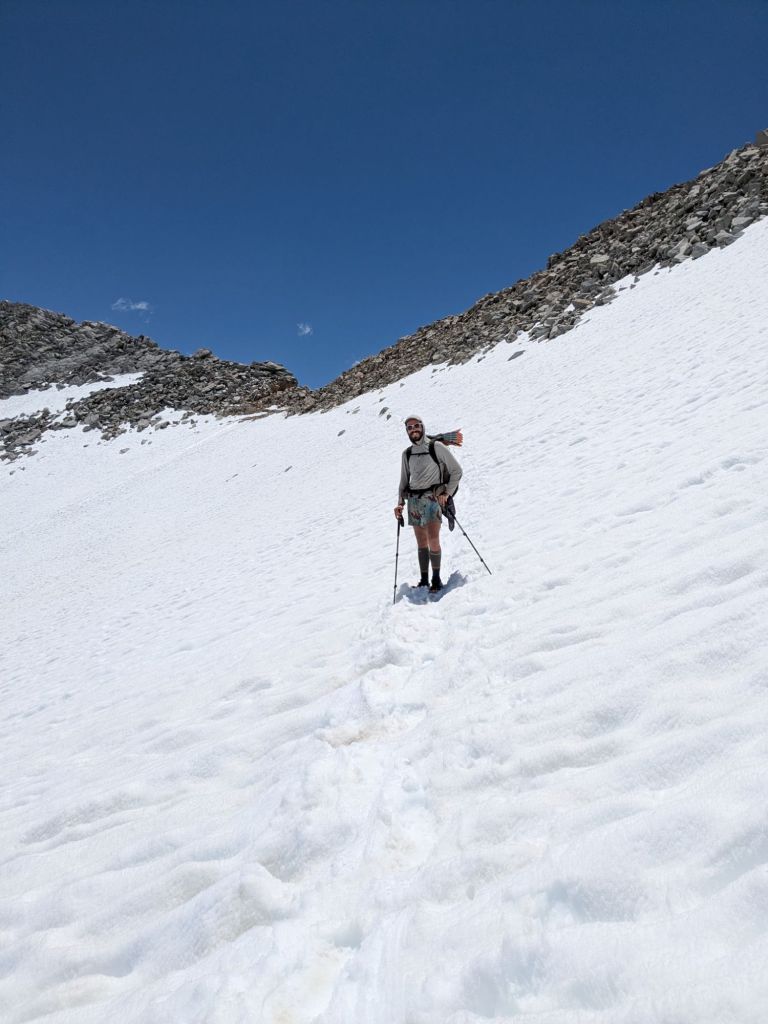
There was still quite a lot of snow heading up the trail, and eventually I took out my ice ax to self belay as I traversed several steep snowfields along the switch back section. I also used my microspikes to cross one particularly long and steep snowfield. I don’t have much snow mountaineering experience and had been nervous about this part. But I found myself enjoying the snowy obstacles immensely – pushing outside my comfort zone just enough to challenge myself and keep things interesting.
The final part of the climb was a steep, snowy face leading to the top of the mountain. Swish and I put on our micro spikes once again and climbed straight up the snowy field to the summit. It was exhilarating, exhausting, and beautiful all at the same time.
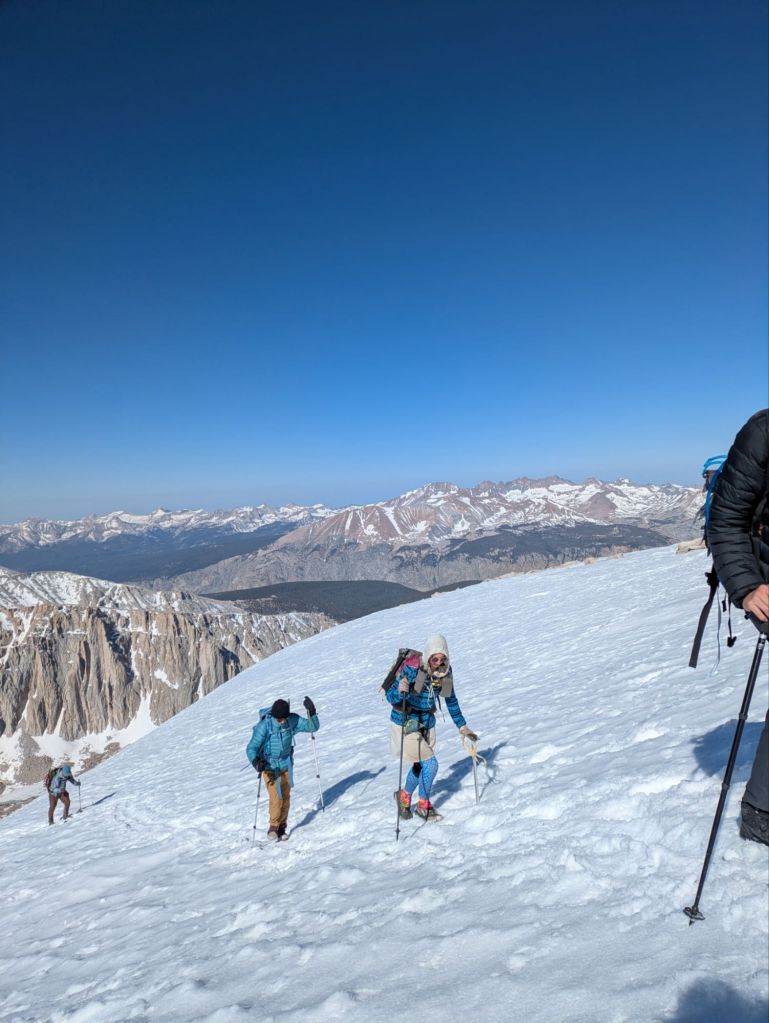
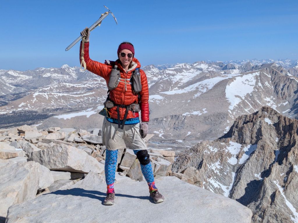
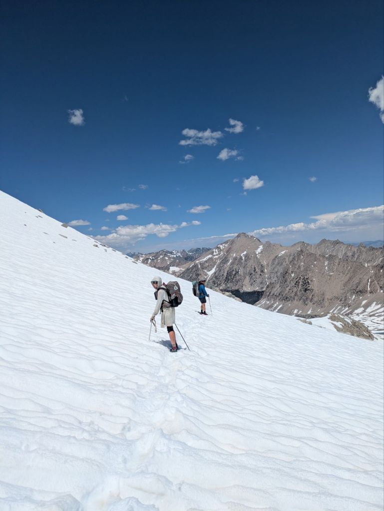
Standing atop the summit at 14,500 feet was surreal! We spent an hour or so enjoying the summit before beginning the long climb back down. As the day warmed up, the snowfields on the way down got sloshy – making the descent almost as exhausting as the climb.
Around 2 pm we arrived back at the PCT next to Whitney Creek. We immediately collapsed next to the creek and spread out our various wet gear to dry. After eating an oversized lunch, I crawled inside my still damp quilt and fell asleep for a little bit.
But the day wasn’t over. After a few hours of relaxing, I got up and slid my feet back into my still damp socks. Slowly and tiredly, I hiked another 4 miles, chatting with Swish and another thru-hiker named Extra, until we arrived at a lovely campsite in a pine forest. Not wanting to get any more condensation on my quilt, I set up my tarp and crawled inside I was asleep before 8 pm.
Day 36
Overnight I had a migraine headache – a sure sign that I’ve recently pushed my body a bit too hard. Time for a shorter day. Swish and I had originally hoped to make it all the way to town today, via the Kearsarge Pass side trail. But considering our exhaustion levels after Whitney, combined with the challenging terrain ahead, we decided to opt for a shorter 18-mile day instead, and camp at the junction with the Kearsarge Pass side trail instead.
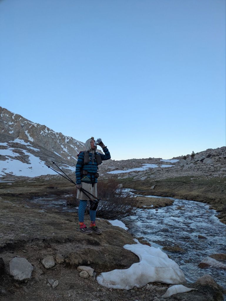
0.2 miles after the campsite, I reached my first obstacle of the day – fording Wright Creek. This creek was a bit stronger and deeper than Whitney Creek the day before, and I opted to leave my shoes on but remove my socks to keep them dry. I carefully sidestepped my way through using my trekking poles for support.
A few miles later, I reached my next ford: Tyndall Creek. This one was even larger than Wright Creek, and would have posed quite the obstacle to me had I crossed it alone. Fortunately, Swish and I crossed it together, side-stepping in a stacked “i” formation. I’ve only ever solo forded before, and I was amazed by how much easier it was to ford with another person.

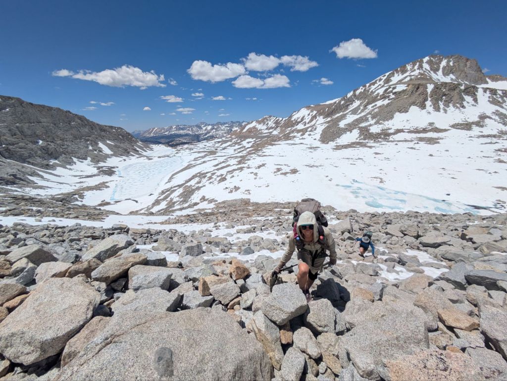
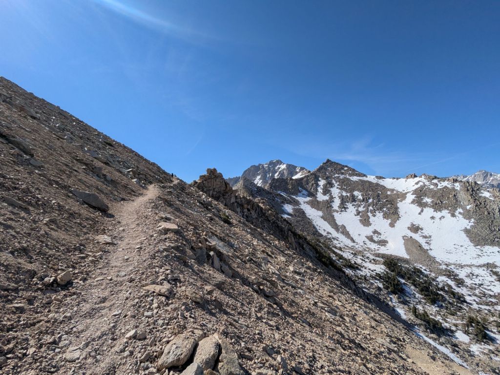
After Tyndall Creek, the long ascent up to 13,200-foot Forester Pass began. This pass is the highest point of the Pacific Crest Trail. Considering that it’s still early June in an “average” snow year, I knew I’d be walking through plenty of snow on the way up. I kept my ice ax handy.
Swish and I linked up with another thru-hiker, Clay, for the long climb. With much of the trail covered in snow, we mostly forged our own path across the landscape. Together, the three of us route-found and rock-hopped and scrambled around the large snow patches, and post-holed when they couldn’t be avoided.
Eventually, we reached some steep switchbacks, which led to the “crux” of the climb – a narrow notch with a steep, snow-filled shoot. The three of us put on our microspikes and carefully crossed the steep bit of snow. We were all grinning and having an absolutely wonderful time as we submitted the highest pass of the PCT.
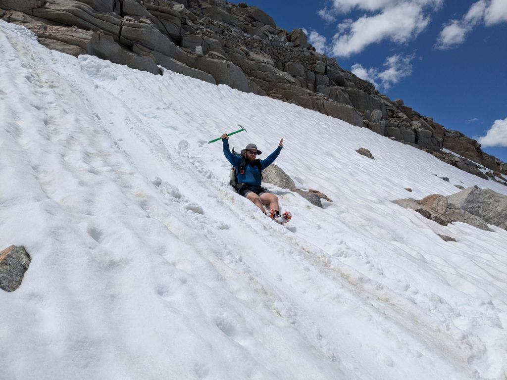
The snow-related challenges intensified as we descended the backside of the pass. The back of the pass was a massive snowfield, which was unfortunately quite slushy as it was now midday. With ice axes and spikes, we traversed the long, slanted snowfield, occasionally sinking in up to our upper thighs. It was exhausting work. But it was fun too. We even did a short glissade (butt slide) down a short part of the snowfield where it was safe to do so without fear of hitting rocks.
Swish, Clay, and I stopped for a late lunch by a small, alpine pond. After that, the worst of the snow was over, and I secured my ice ax back on the outside of my pack. Eventually, we dipped back below the treeline in a stunning, deep valley surrounded by jagged peaks on all sides. I finally felt it – I’m in the Sierras! The last few days, I’d only felt like I was climbing up into the mountains – today I feel enveloped by them.
Towards the end of the day, I forded another creek, Bubbs Creek. This one, I walked directly through with my socks and shoes still on – my feet were already soaked from walking through snow most of the afternoon. I figure wet feet are a small price to pay to experience all the wonders of the Sierras.
I made camp near the turn off to Kearsarge Pass. Tomorrow, I’ll hike the 7.5-mile side trail to the Onion Valley Trailhead, where I can hitchhike into the resupply town of Independence, CA.
Day 37
Today was a 7.5-mile “zero” to reach Independence via the side trail. I had a casual morning packing up then headed up the side trail over Kearsarge Pass. The pass was super beautiful, like everything in the Sierras! After that, it was a big downhill to the trailhead.
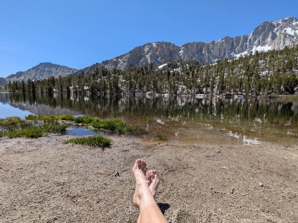
I stopped along the way at a beautiful snowmelt-fed mountain lake. I suddenly felt inspired to take a dip. I dove into the icy water and then swam back to shore as fast as I could, the air driven from my lungs by the cold. It was an abnormally warm day, and I enjoyed sun-drying on the lakeshore before hiking the final miles to the trailhead, chatting with thru-hikers Pacman and Zamboni.
When I reached the trailhead, a gray truck was just pulling up, and out hopped Ian, a thru-hiker I’ve seen on and off since starting the Sierras. His pace is faster than mine, and I hadn’t expected to see him again, and it was great to catch up before he hit the trail. Conveniently, the trail angel who’d given Ian a ride was willing to take me, Swish, Pacman, and Zamboni all to town.
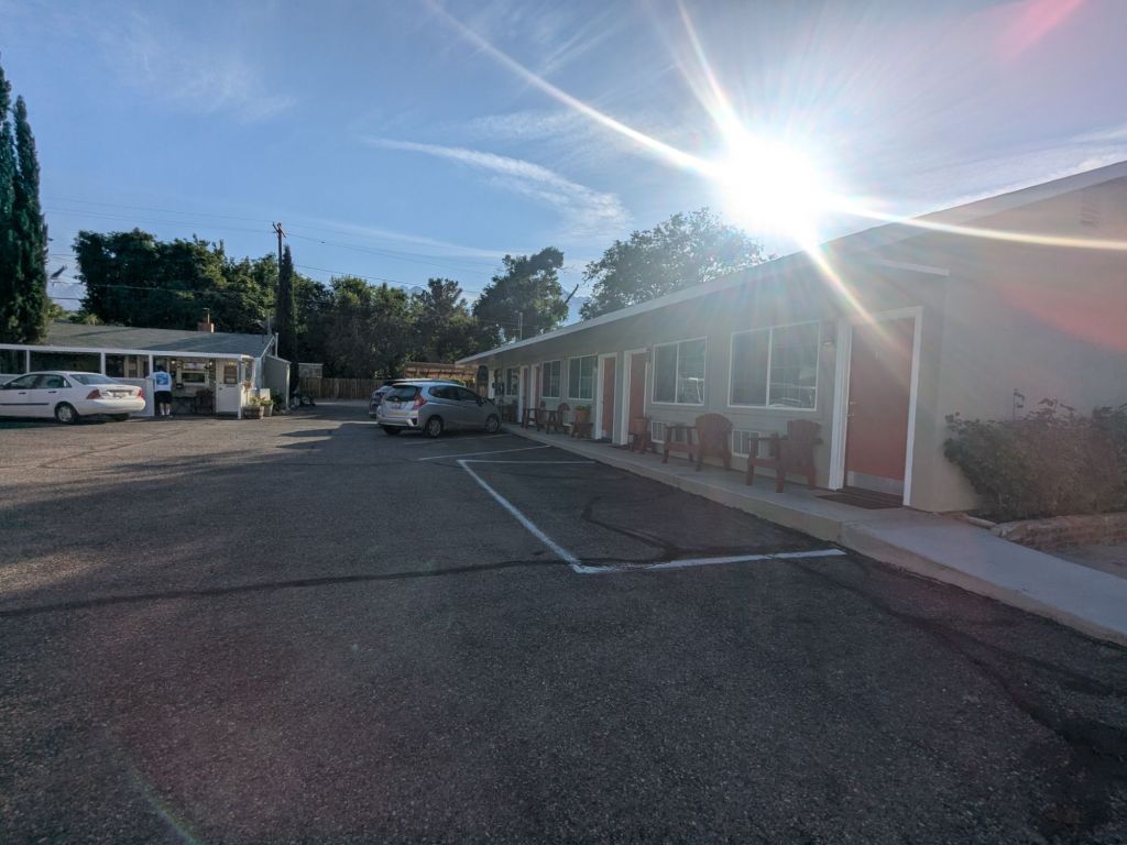
Independence is a tiny trail town with limited amenities for hikers. Luckily, I didn’t need much. I picked up my resupply package at the post office and grabbed lunch at the gas station sub shop.
Unfortunately, since the town was so tiny there weren’t many good places to loiter indoors and charge my devices. Furthermore, the temperatures down at the lower elevations in town were over 100 degrees. My original plan was to stay in the campground in town tonight. But considering the heat, I opted to splurge on a motel room. I spent the rest of the day enjoying the air conditioning, drying out gear, and watching Disney movies.

Leave a reply to Gia Long Cancel reply