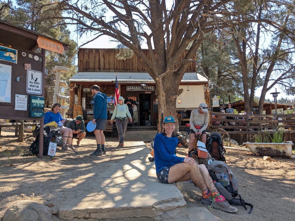
trail towns
-
Northern Washington: battling blowdowns and wildfire smoke
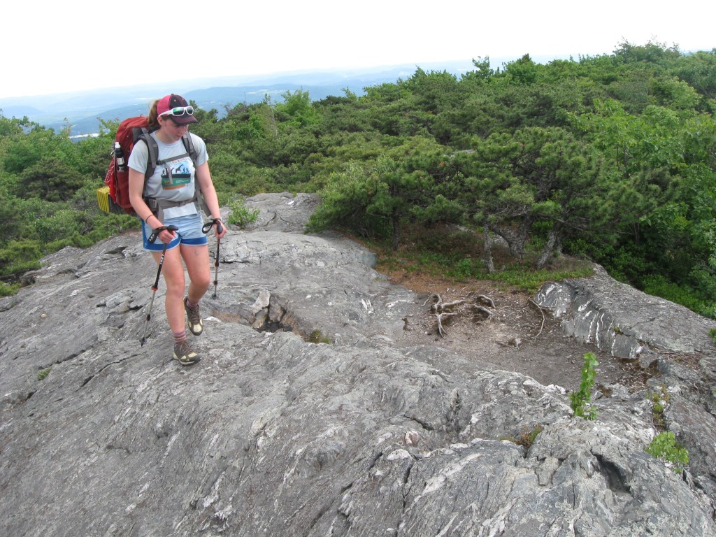
Stevens Pass (Leavenworth) to ~Steheikin. Miles 2,467 – 2,570. Days 121 – 125. After Stevens Pass, the Pacific Crest Trail begins a particularly remote ~100-mile stretch with no road crossings. In this section, the PCT goes through the Glacier Peak… Continue reading
-
Views of Mt Shasta, unburned forest, and lots of wildlife
Burney to ~Interstate Highway 5. Miles 1,413 – 1,500. Days 72 – 74. After Burney, the Pacific Crest Trail passes near Burney Falls State Park. It then climbs up into conifer-covered mountains. The trail winds up and down, often following… Continue reading
-
Bye-bye Sierras, trail running adventure, and vortexed in Tahoe
Sonora Pass to South Lake Tahoe. Miles 1,018 – 1,091. Days 51 – 56. After Sonora Pass, the PCT is finished with the high alpine passes of the Sierras. As the trail continues, it retreats to lower elevations. Massive peaks… Continue reading
-
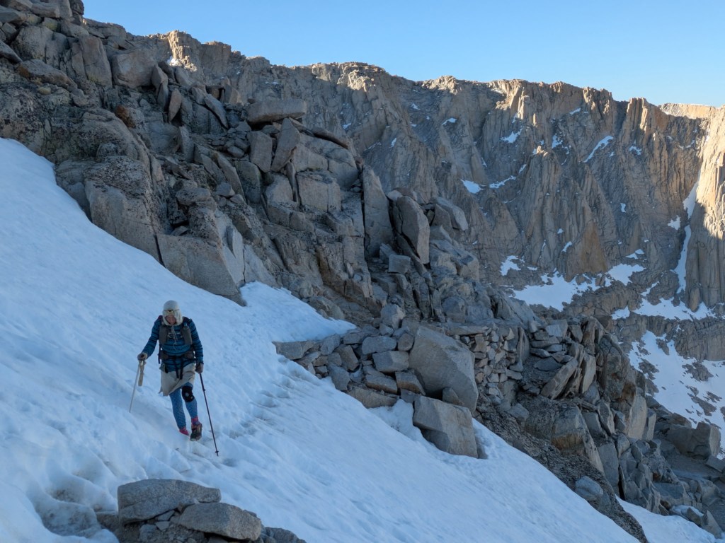
Into the Sierras: snow travel on Mt. Whitney and Forester Pass
Kennedy Meadows to Independence. Miles 705 – 790. Days 33 – 37. After Kennedy Meadows, the PCT begins gradually climbing into the High Sierra. Hikers are rewarded for their endurance with mountain views and pine forests. The PCT passes near… Continue reading
-
Hitchhiking 50 miles for a sandwich and the end of the desert!
Tehatchapi to ~Kennedy Meadows. Mile 566 – 705. Days 27 – 32. Past Tehachapi, the trail feels like the desert, with rolling hills covered in Joshua trees and long dry sections where hikers must carry lots of heavy water. As… Continue reading
-
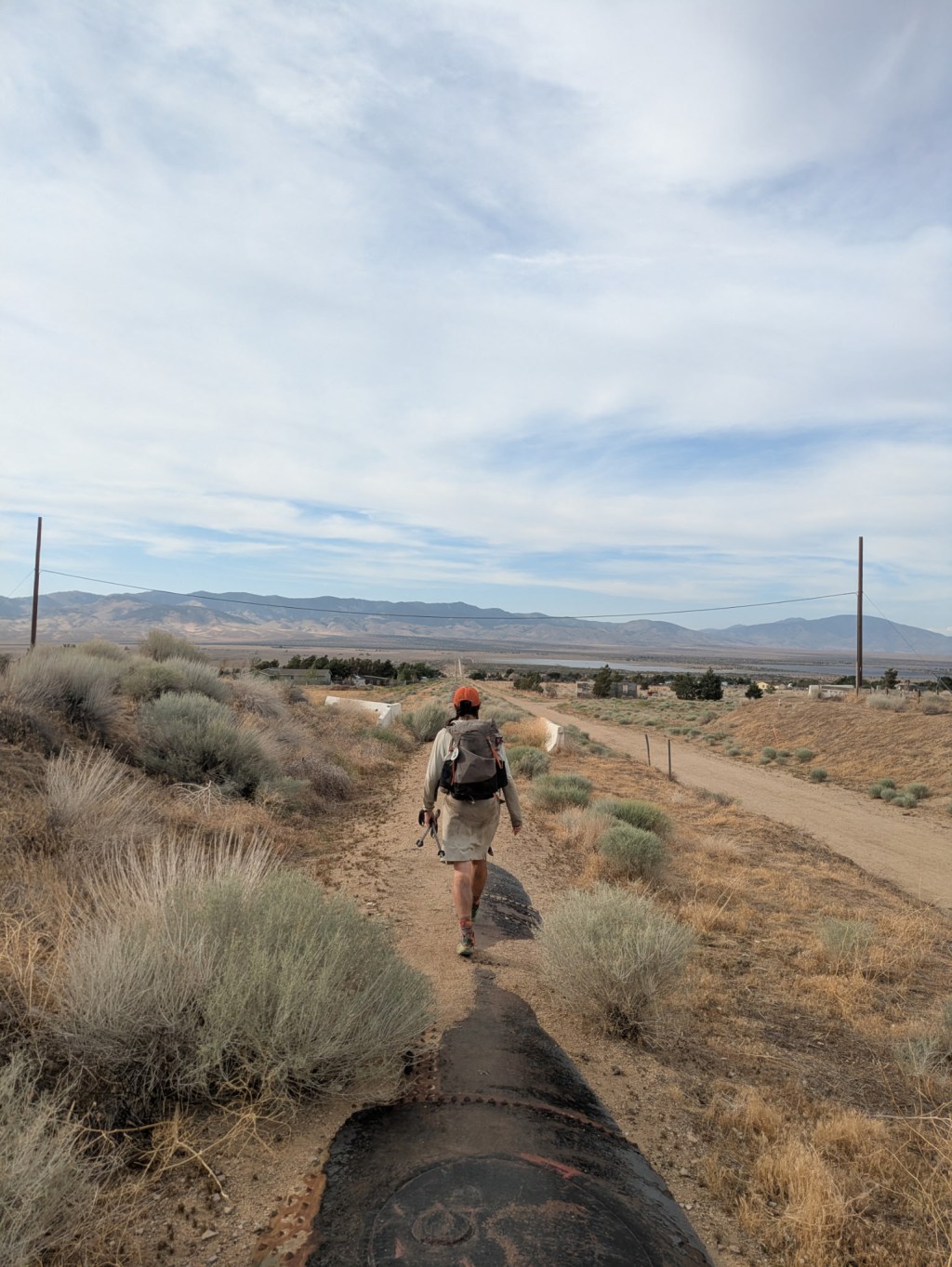
A 40-miler on the aqua duct and zeroing through a heat wave
Agua Dulce – Tehatchapi. Mile 465 – 566. Day 23 – 26. From Agua Dulce the trail returns to moderate elevations in rolling hills with shrubs and small groves of trees. This is a part of the trail where hikers… Continue reading
-
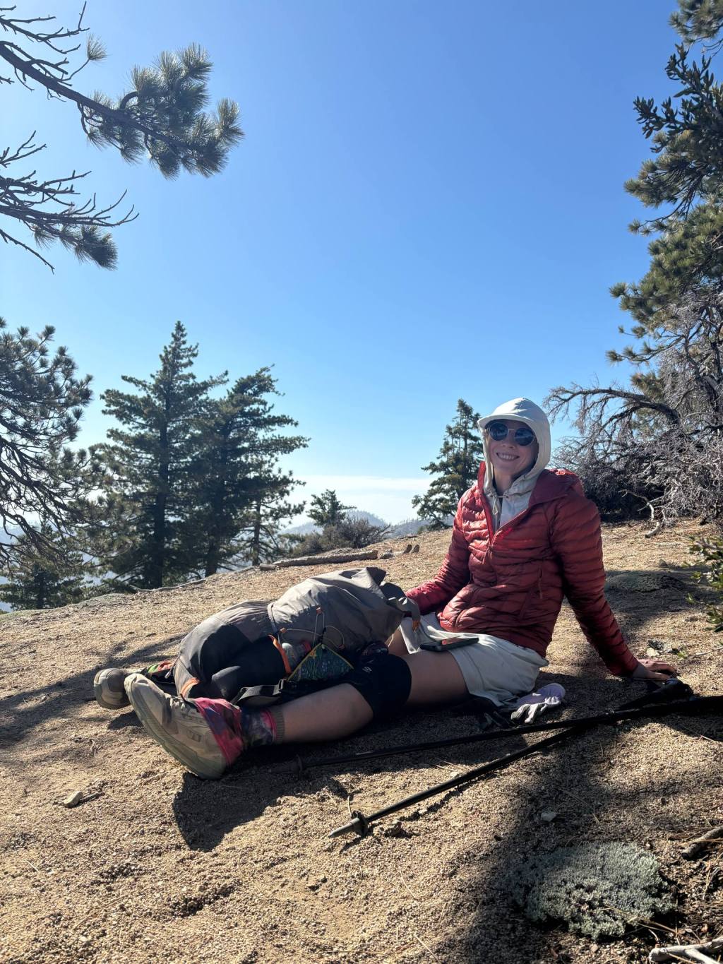
Tons of Trail Magic and Trekking from Toilet to Toilet
Wrightwood – ~Agua Dulce. Mile 374 -465. Days 19 – 22. After Wrightwood, the trail climbs steeply up to the 9,000+ foot summit of Mt. Baden Powell. From there, the trail works through pine forested ridges in the San Gabriel… Continue reading
-
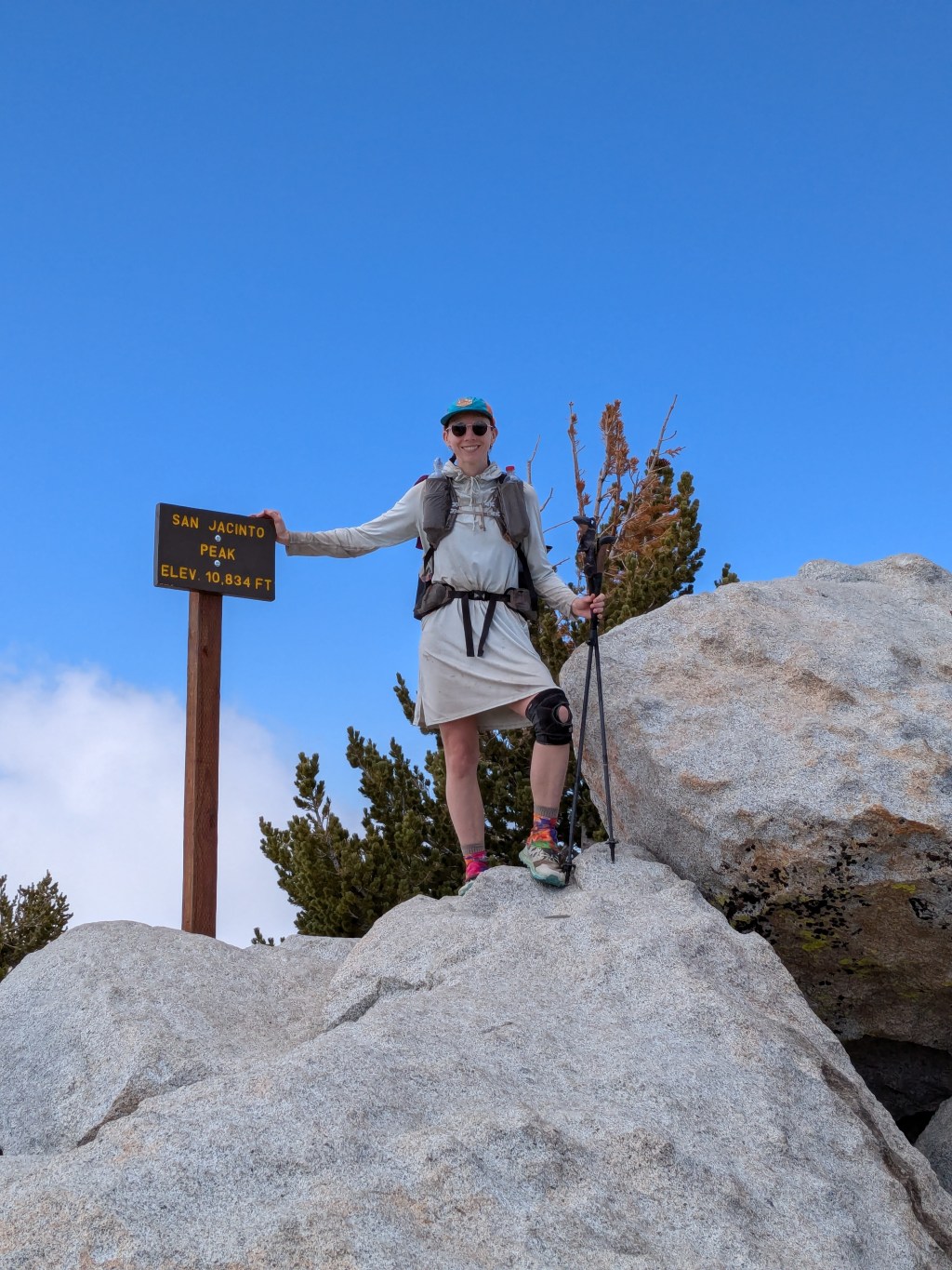
All the Extremes on the PCT: high to low, cold to hot, cruising to rockhopping
Idyllwild – Big Bear. Mile 179 – 266. Days 10 – 14. After Saddle Junction, the Pacific Crest Trail (PCT) continues cresting the dramatic spine of the San Jacinto range, then descends ~7,000 feet to Interstate Highway 10 near Cabazon.… Continue reading
-
6-hour lunch breaks and going up into the mountains
Warner Springs – Idyllwild. Miles 109 – 179. Days 6 – 9. The trail between Warner Springs and Idyllwild gradually gains elevation. It climbs out of the chaparral to larger mountains with pine forests, gaining 5,000 feet of elevation over… Continue reading

-
Summary of my Appalachian Trail Thru Hike (Resupply strategy, gear, and reflections)
As you know, I’m gearing up to thru-hike the Pacific Crest Trail starting this May. Soon, I’ll be sharing posts about my preparations and planning process. But first, I’m taking time to reflect on my past thru-hikes and look over… Continue reading