Valerie
-
Northern California mountains and staying with a trail angel in an off-grid cabin
~Interstate Highway 5 to ~Etna. Miles 1,500 to 1,609. Days 75 – 79. The Pacific Crest Trail climbs up dramatically from the interstate 5 corridor, gaining thousands of feet in elevation. This section includes some of the most scenic mountains… Continue reading
-
Views of Mt Shasta, unburned forest, and lots of wildlife
Burney to ~Interstate Highway 5. Miles 1,413 – 1,500. Days 72 – 74. After Burney, the Pacific Crest Trail passes near Burney Falls State Park. It then climbs up into conifer-covered mountains. The trail winds up and down, often following… Continue reading
-
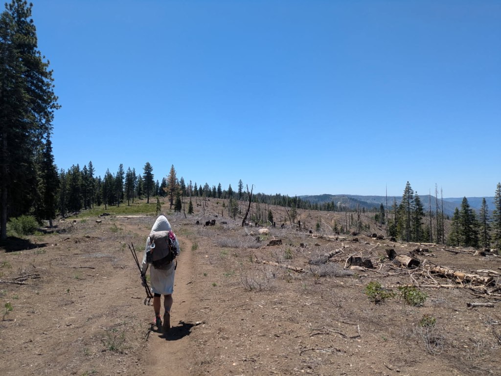
Crossing Lassen Volcanic National Park and a heat wave on Hat Creek Rim
Chester to Burney. Mile 1,333 to 1,413. Days 67 to 71. The massive Dixie Fire burn area continues well past Chester and into Lassen Volcanic National Park. Over twenty miles of the Pacific Crest Trail are within the park boundary.… Continue reading
-
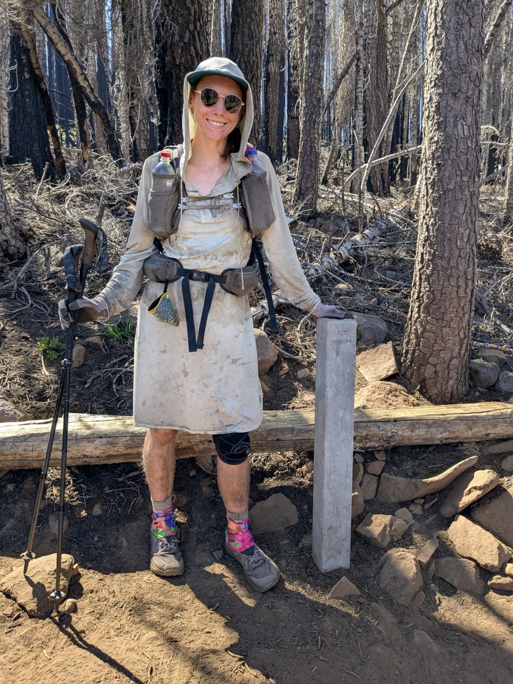
Across the halfway point on the PCT
~ Belden to Chester. Mile 1,282 – 1,333. Day 65 – 66. After Belden, the trail gradually climbs 5,000+ feet up from the Feather River into the mountains. From there, the trail crosses through the burn scar of the Dixie… Continue reading
-
Hot Hiking in NorCal: Crossing a burn area in 90-degree heat
Sierra City to ~Belden. Miles 1,196 – 1,282. Days 62 – 64. Past Sierra City, the trail climbs gradually into pine forest-covered mountains. However, the trees are short lived, as soon the trail crosses the Bear Fire burn scar. Here,… Continue reading
-
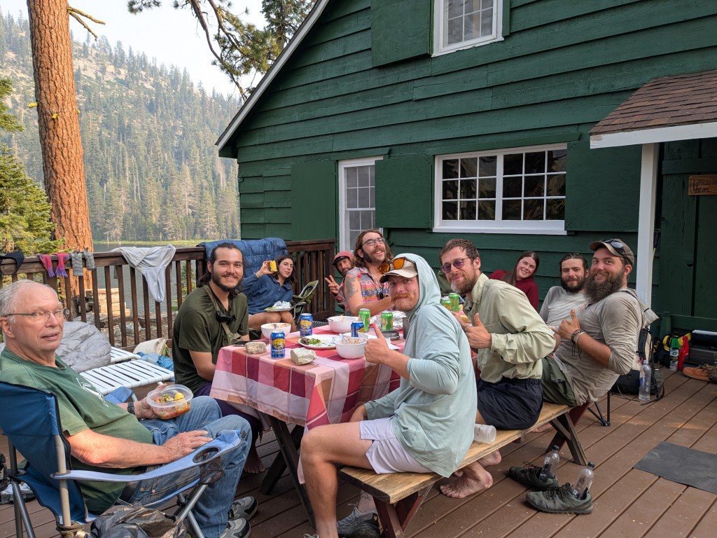
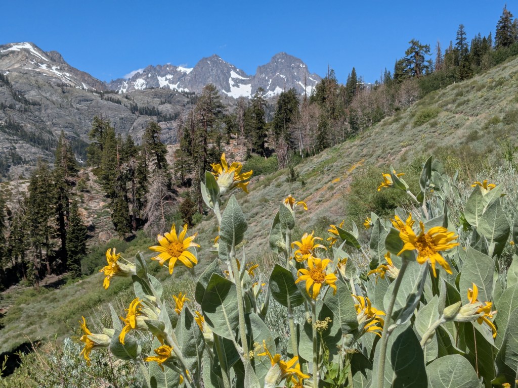
Wildflower ridge walks and a 4th of July side quest
South Lake Tahoe to Sierra City. Miles 1,091 – 1,196. Days 57 – 61. To thru-hikers, South Lake Tahoe marks the end of the Sierras and the beginning of a whole new section of the PCT: Northern California or “NorCal”.… Continue reading
-
Bye-bye Sierras, trail running adventure, and vortexed in Tahoe
Sonora Pass to South Lake Tahoe. Miles 1,018 – 1,091. Days 51 – 56. After Sonora Pass, the PCT is finished with the high alpine passes of the Sierras. As the trail continues, it retreats to lower elevations. Massive peaks… Continue reading
-
1,000 miles completed and leaving Yosemite
~Tuolumne Meadows to Sonora Pass. Miles 955 – 1,018. Days 48 – 50. The PCT continues through Yosemite National Park after it diverges from the Tuolumne River. Thru-hikers tackle rugged trails full of roots, rocks, mud, and steep climbs. They… Continue reading
-
Walking into Yosemite: solo camping and lazy mornings
Mammoth to ~Tuolumne Meadows. Days 45 – 47. Miles 904 – 955. From Mammoth, the trail continues through the Sierra Nevada Range. Gradually, the high passes become lower in elevation, and the sharp peaks give way to rounded rock domes.… Continue reading
-
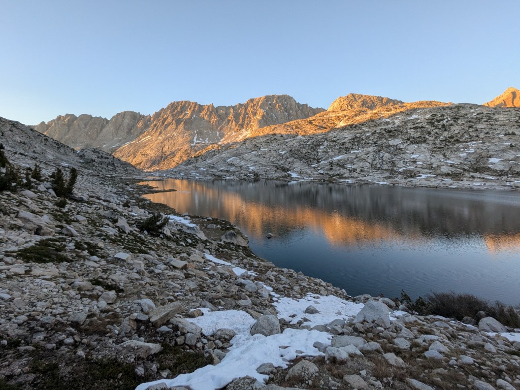
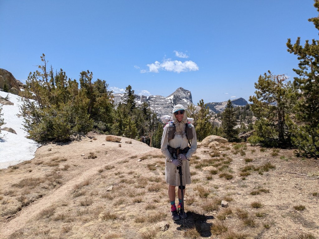
Sierras part 2: high passes, heavy packs, and hiker hunger
Independence to Mammoth. Miles 790 – 904. Days 38 – 44. After Kearsarge Pass hikers find themselves in the thick of the Sierras. Each day brings climbs over high passes and river crossings. This is some of the most beautiful… Continue reading