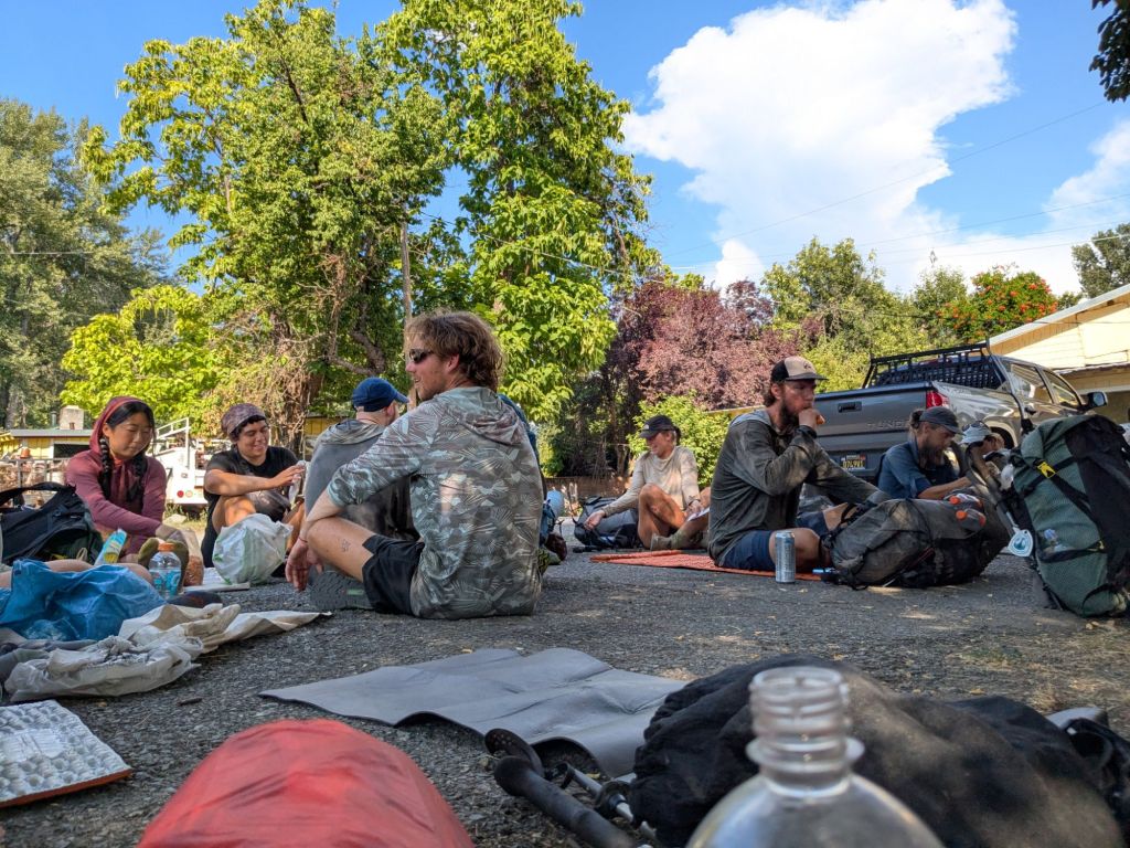
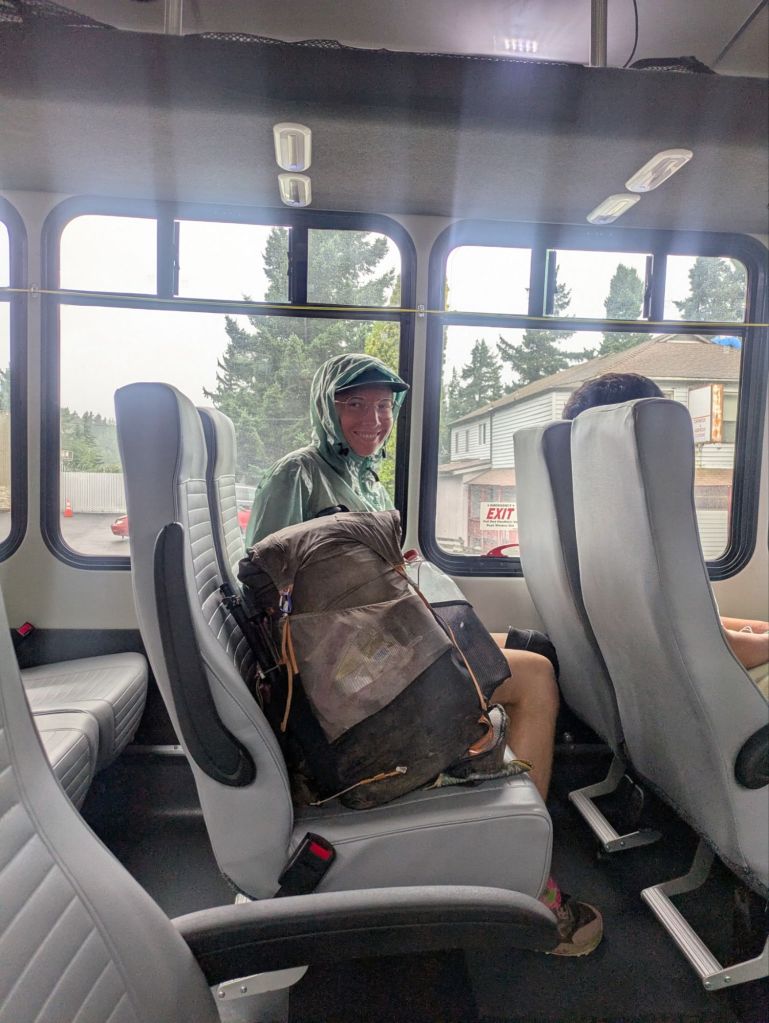
In 2025, I thru-hiked the Pacific Crest Trail. A big part of any thru-hike is eating – and all the logistics that go into resupplying food. In this post, I go over all the places I resupplied on my 2025 thru-hike. I’ve also included links to relevant businesses and helpful pages for planning out resupplies in each town. I hope this will be helpful to anyone planning a PCT thru-hike. But first, I’ll share a little info about my general strategy for resupplying and towns on the PCT.
Shopping vs Shipping Food
There are two main ways that hikers resupply during a thru-hike. They are:
- Shopping: Hikers hitchhike or walk to towns with grocery stores and shop for food.
- Shipping: Hikers prepare packages of food in advance and ship them (or ask a friend/family member to ship them) to businesses or post offices near the trail.
Each option has its pros and cons. Many thru-hikers (myself included) use a combination of these two methods. Using a combination allowed me to mail food to places with low selection or high prices. However, I shopped in towns with bigger grocery stores, giving me the flexibility to buy whichever foods I was craving. On the Pacific Crest Trail, I found that most towns had some option to shop. Sometimes it was a supermarket. Sometimes it was a gas station.

Deciding Where to Resupply
Outside of the Sierras and northern Washington, towns are pretty abundant on the PCT. Consequently, I didn’t need to stop and resupply in every single town. Deciding where to resupply was a balancing act. I’d found myself weighing factors such as:
- Distance from the trail: occasionally, businesses or towns are conveniently located directly on the Pacific Crest Trail. This makes it easy to get in and out of town quickly, without spending extra money on lodging. However, most towns are further from the trail, from 1 to 25+ miles.
- Prices: small stores in remote areas often have higher prices than supermarkets in larger towns.
- Selection/nutritional value: resupplying at a small store or gas station is possible, but it can mean eating mostly snack foods.
- Other services: sometimes I’d hitch further to reach a larger town if I needed something not available in a smaller town (lodging, outfitter, pharmacy, etc…).
- Mail vs Shopping: some resupply points don’t have a store, and you can only resupply there if you mail a box. However, most towns have some type of food store, even if they don’t have a full-sized supermarket.
- Is there an alternative? Certain resupply points are important to hit, simply because they are in remote areas with no good alternatives.
What I Ate (Breakfast, Lunch, Dinner, In Town)
For the boxes I prepared in advance, I packed a combination of dehydrated meals that I made myself and prepackaged foods I purchased in bulk (e.g., at CostCo). You can read more about that in this post of packing boxes for the PCT.
When I shopped in towns along the trail, I bought a variety of foods depending on what I was craving at the time. Some foods that I regularly found in stores along the trail included:
- Breakfast: Probars, Complete Cookie, Poptarts, sausage sticks, nut butters, dried prunes, dried cranberries
- Lunch: flour tortilla, English muffin, bagels, crackers, nut butters, cream cheese, sausage sticks, tuna packets, beef creation packets
- Dinner: pizza tortilla wrap, Ramen “pad thai” with peanut butter & soy sauce, Knorr rice sides
- Snacks: various bars, candy, trail mix, electrolyte drink mixes
While in town, I’d try to eat foods I didn’t carry on the trail. Namely, fruits and vegetables. I avoided dining out often while in town to save money. Instead, I typically bought my town food at the grocery store. Since hotels/campgrounds in towns usually didn’t have a kitchen, I opted for town meals that didn’t involve actual cooking.
Some foods I ate while in town: salad kits, rotisserie chicken, fruit, hummus with chips or pre-cut veggies, freezer meals, pasta salad or hot foods from the deli, doughnuts/pastries, and kombucha.

Resupply Locations
Below, I go through all the towns and other locations where I resupplied during my 2025 Pacific Crest Trail thru-hike. I also made a note of resupply stops that I skipped and why I skipped them. For each stop, I’ll share the distance from the trail and how I got there, where/how I resupplied, and where I slept (if I spent the night in town).
In general, I make a note of key services that were available, even if I didn’t utilize them (e.g., grocery stores, lodging). That said, this isn’t a complete resupply guide and will not be regularly updated. However, I do provide links to the websites of key businesses/services along the trail. By clicking the links, aspiring thru-hikers can find the most up-to-date info regarding each resupply stop directly from the source.
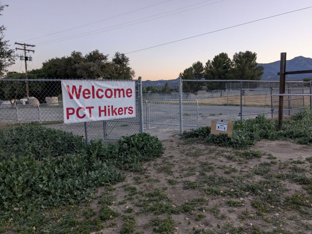
Mile 0: Southern Terminus
- Distance from trail: 0 miles
- How I got there: PCT Southern Terminus Shuttle (external link) from San Diego Old Town Transit Center.
- Resupply: NA, I started with about 2 days of food to make it to my first resupply box, waiting for me at Mount Laguna.
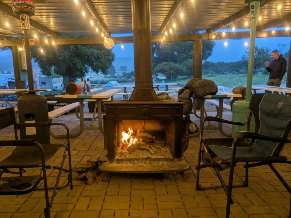
- Where I stayed: CLEEF campground
It was easy to take the PCT Southern Terminus Shuttle and stay at CLEEF campground. However, there are plenty of other ways to travel to the southern terminus. Options include public transportation, Uber/Lift, or getting a ride from a friend or family member. I even met one man who walked from San Diego to the southern terminus. That’s one heck of a warm-up!
For more info about getting to the PCT southern terminus, read my post about traveling to the Southern Terminus.
CLEEF Website for camping near the southern terminus
Mile 20: Lake Morena
I passed through Lake Morena on my first day, but skipped resupplying or stopping there. There was a restaurant a short walk from the trail and a paid campground directly next to the trail.
Lake Morena camping reservations and contact info
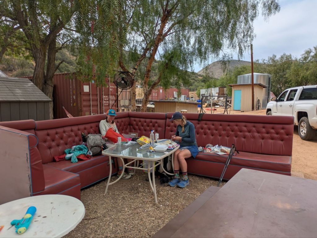
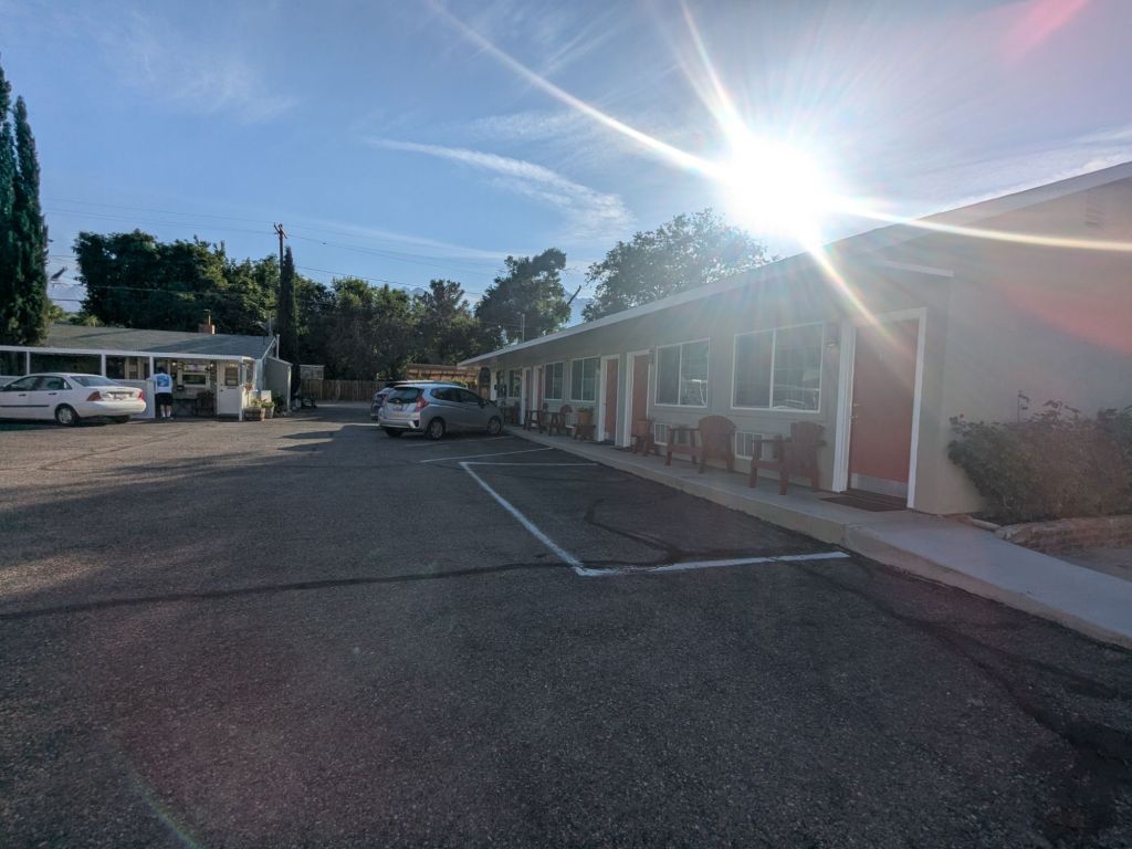
Mile 43: Mount Laguna
- Distance from trail: 0.4 miles
- How I got there: walked through the campground and down the road to the store
- Resupply: I mailed my box to the general store, ~3 days of food
- Where I stayed: in the campground ($)
I took my first shower (coin-operated) of trail here on day 2 and split a campsite with other thru-hikers. I picked up the box I mailed to the store and had a lemonade at the little restaurant. While not a supermarket, the small store did carry some food.
Mount Laguna Lodge & Store info
Mount Laguna Campground reservations & info

Mile 77: Julian via Scissors Crossing
I skipped hitching into Julian. For people who skipped Mt Laguna or wanted to resupply more frequently, this was a good place to stop. I also hear there’s a restaurant that offers a free slice of pie to thru-hikers.
Mile 110: Warner Springs
- Distance from trail: 0 miles to the Community Center, 1 mile to the post office
- How I got there: walked to the community center, hitched to the post office
- Resupply: mailed a box to the post office with ~3 days of food
- Where I stayed: NA (there was nowhere to stay, that I’m aware of)
I arrived before the community center opened. I was still able to charge my devices, do bucket laundry, and take a warm shower outside. Once the inside opened, I bought a coffee and picked through the hiker box.
Community Center info page for PCT hikers
Mile 152: Paradise Valley Cafe
- Distance from trail: 1 mile
- How I got there: walked along the highway
- Resupply: NA (restaurant meal only)
- Where I stayed: NA (however, some hikers camped next to the restaurant)
I walked down the road to get breakfast at Paradise Valley Cafe (PVC), then walked back to the PCT.
Mile 152 or 179: Idyllwild
- Distance from trail: 5.5 miles
- How I got there: I left the PCT at Saddle Junction (mile 179) and took the 2.5-mile hike down the Devil’s Slide Trail to the Humber Park Trail Head. There, I got picked up by a trail angel who shuttled me 3 miles into town.
- Resupply: Fairway Market, ~4 days of food
- Where I stayed: Idyllwild Inn cabin, split between several hikers
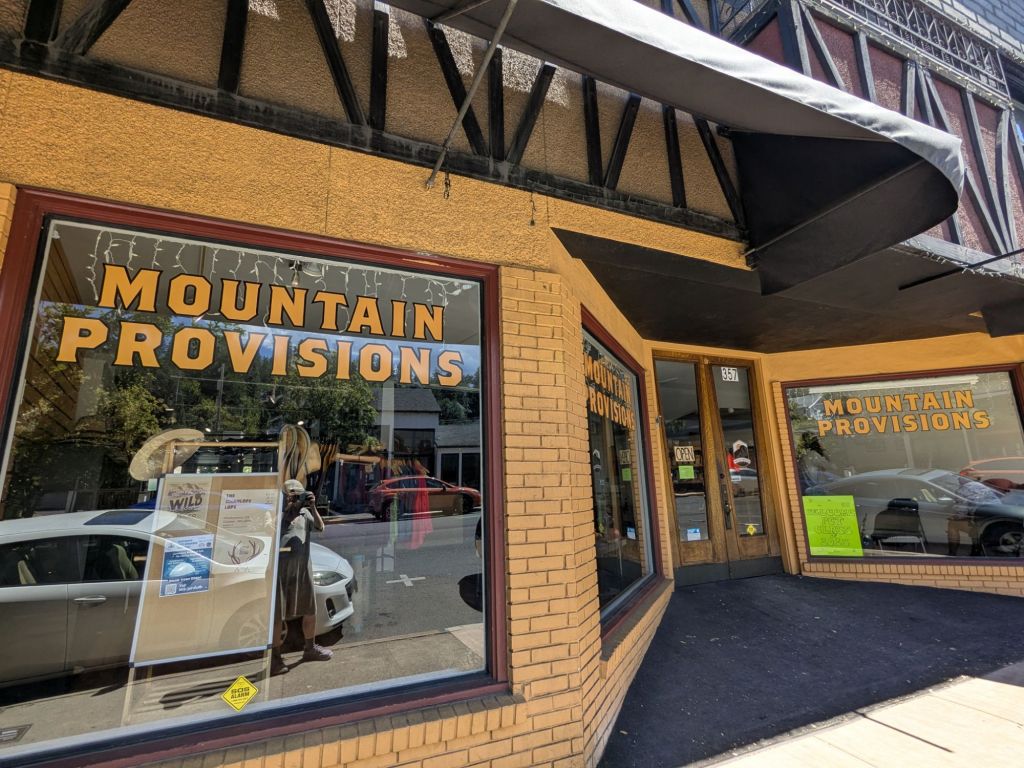
There are two ways to get into Idyllwild. Many of my friends hitched into Idyllwild via Hwy 74 (mile 152). I took the side trail into town (mile 179). This was a good spot to make gear changes since there’s an outfitter, Nomad Ventures.
Idyllwild PCT trail angels Facebook page
Mile 210: Cabazon
I skipped hitching into Cabazon. If I did the PCT again, I’d stop here to break up the carry between Idyllwild and Big Bear Lake/City.
Mile 266: Big Bear Lake/Big Bear City
- Distance from trail: ~5 miles
- How I got there: hitched there, trail angel shuttle back
- Resupply: Vons and Stater Bros (supermarkets), ~4 days of food
- Where I stayed: ITH Hostel in Big Bear Lake (~$45)
I took my first zero day in Big Bear Lake. This wasn’t the most restful place for a zero. The town is pretty spread out, making it challenging to run errands. Fortunately, there is a free bus around town.
Big Bear PCT Trail Angels Facebook page
Mountain Transit (bus system)
Mile 342: Cajon Pass
This wasn’t a full resupply stop. I walked a half mile down the road to reach the McDonald’s. I charged my phone and bought coffee and breakfast.
Mile 363: Wrightwood
- Distance from trail: 2.5 miles
- How I got there: hitched – in 2025 there was a burn area closure and reroute near Wrightwood. I hitched into town along the reroute on Lone Pine Canyon Rd. Normally, thru-hikers have the option to walk into town on a side trail. But it was also closed due to the burn area.
- Resupply: Wrightwood Fine Foods (medium-sized grocery store), ~3.5 days of food
- Where I stayed: One of the rental cabins operated by “Pajama Mama”, split with other thru-hikers
Wrightwood seems like a very hiker-friendly town – unfortunately, I didn’t spend much time there. It seems like there’s an active trail angel community in the area. There was a laminated piece of paper at the top of the climb before Wrightwood with phone numbers of local trail angels. They also have a Facebook group.
Wrightwood PCT Trail Angels Facebook page

Mile 444: Acton
- Distance from trail: 6 miles
- How I got there: hitched
- Resupply: There was a market, but I didn’t need to resupply
- Where I stayed: camped behind the 49ers Saloon (donation-based)
I didn’t resupply here since I had a box waiting in the next town, but there was a market. I hitched into town to camp behind the saloon (donation-based). There was a hand-wash laundry station and showers.
Mile 455: Agua Dulce
- Distance from trail: 0 miles
- How I got there: walked
- Resupply: package mailed to Serenity’s Oasis ($), ~2.5 days of food
- Where I stayed: I didn’t sleep here
I didn’t stay here, but some hikers camp at Serenity’s Oasis ($). There was a market, so in hindsight, I could have shopped there instead of mailing a box.
Agua Dulce PCT trail angels Facebook group
Mile 519: Hikertown
- Distance from trail: 0 miles
- How I got there: walked
- Resupply: I mailed a box here ($), ~2 days of food
- Where I stayed: I didn’t sleep here
This was an OK place to mail a box. However, it was hard track down the people running this place to retrieve my box. I reached Hikertown around noon, then took a 5-hour siesta before tackling the treeless aqua duct section at nighttime.
Mile 558: Tehachapi
- Distance from trail: 10 miles
- How I got there: hitched a ride on the highway 50 on-ramp (not recommended, there was a sign saying NOT to do this, oops). Many thru-hikers hitched on Willow Springs Road instead. I took the bus back, which conveniently stops at the Highway 50 on ramp, upon request.
- Resupply: Walmart, ~5 days of food.
- Where I stayed: Sure Stay Hotel
I took my second zero of the trail in Tehachapi! This is the largest town on the trail up to this point, heading NoBo. I really liked this trail town. It’s a spread-out town. However, the locals were really nice, and I had no problem hitching around town to run errands. I shipped my first replacement pair of shoes to the post office here.
I left Tehachapi with enough food for the ~145 miles to Kennedy Meadows. I planned to skip the long hitch into Ridgecrest. However, when I got to the road to Ridgecrest, I was craving restaurant food. So I ended up hitching into town anyway. Ridgecrest had a supermarket and Walmart, and would have been a fine place to resupply.
Tehachapi & Mojave PCT Trail Angels Facebook Group
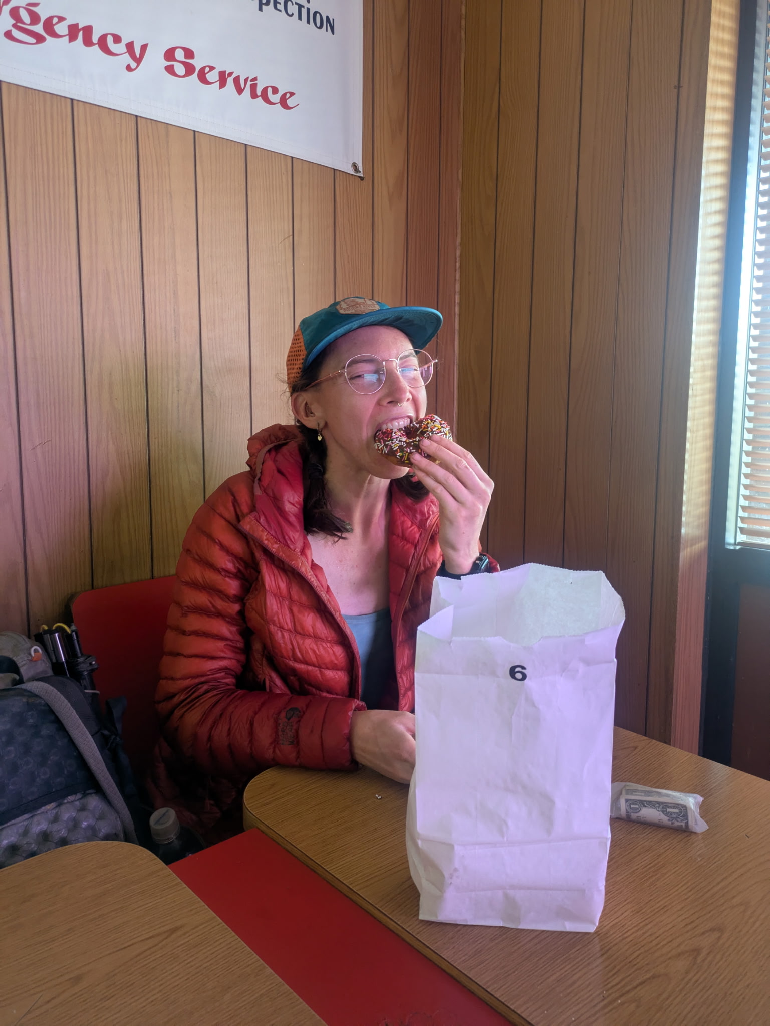
Mile 653: Ridgecrest
I didn’t resupply in Ridecrest, but I could have. There’s a Walmart and a supermarket. It’s a long (~25-mile) hitch with multiple turns. But I managed to get into and out of this town for a quick mid-day restaurant meal and doughnuts.
Walker Pass Trail Angels Facebook group
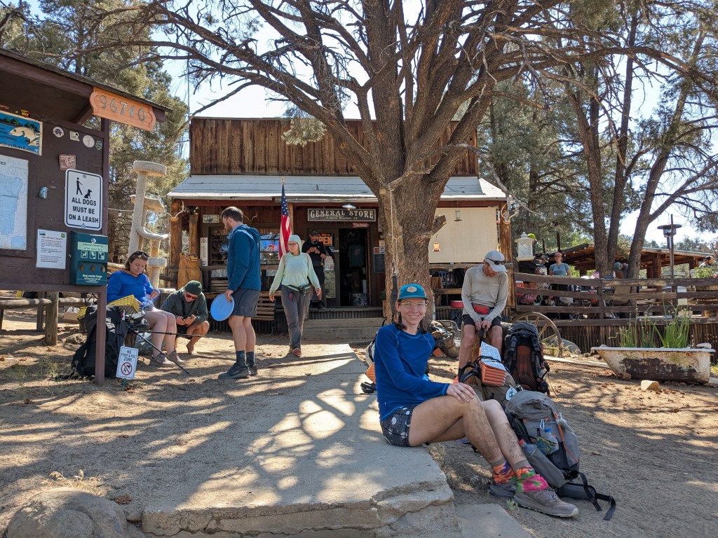
Mile 703: Kennedy Meadows
- Distance from trail: 1 mile to the general store, 3.5 miles to Grumpy Bear’s
- How I got there: walked to the general store, and caught the free shuttle to/from Grumpy Bear’s
- Resupply: shopped at Triple Crown Outfitters, ~5 days of food
- Where I stayed: paid campground ~2 miles past the road crossing on the PCT
This place was a zoo! I’m glad I didn’t get vortexed here. I’m also glad I arrived at the General Store in time for breakfast – delicious and inexpensive! I mailed my spikes, ice ax, and other Sierras-specific gear to Grumpy Bear’s. I also did laundry and showered at Grumpy Bear’s (not sure I was technically allowed to use the facilities, since I didn’t sleep there, but the place was overrun with hikers and nobody really seemed to care).
Mile 746: Lone Pine
I skipped Lone Pine. I didn’t feel the need to break up the ~90 miles between Kennedy Meadows and Independence.
Mile 790: Independence (via Kearsarge Pass)
- Distance from trail: 21+ miles (8 miles on a side trail + a 13-mile hitch)
- How I got there: hiked 8 miles up and over Kearsarge Pass on a side trail to the Onion Valley Trail Head. From there, I caught a ride with a trail angel who was running shuttles all day to/from town.
- Resupply: box mailed to the post office, ~5.5 days of food (wished I’d had more!)
- Where I stayed: motel
In 2025, Independence didn’t offer many services and didn’t have a supermarket. There was a post office, gas station with a sandwich counter, a campground, and a few motels. The day I arrived, it was 100 degrees down off the mountain, so staying in the campground sounded pretty unpleasant. I sprang for an air-conditioned motel room.
Many thru-hikers opt to hitch or take the bus to the larger (further away) town of Bishop. I opted to mail myself food to the post office in Independence. Both are good options.
Eastern Sierra Transit (bus)
Mile 859: Muir Trail Ranch
Muir Trail Ranch had not yet opened for the season when I passed near it. Hikers walking through the Sierras later in summer sometimes ship a box here (expensive!).
Muir Trail Ranch Resupply Package Info
Mile 880: VVR
I skipped VVR. There are two ways to get to VVR. Option 1 hiking a long side trail around a lake. Option 2 is hiking a short side trail then paying to take a ferry across the lake. Some hikers ship a box to VVR or visit just for a restaurant meal.
Were I to thru-hike again, I’d make the side trip to VVR. Why? The stretch between Independence and Mammoth was long and challenging. I was burning way more calories each day than I predicted and getting really hungry. Despite filling my BV500 bear can to the brim, the amount of food I carried was woefully inadequate.
Mile 904: Mammoth Lakes
- Distance from trail: 9 miles
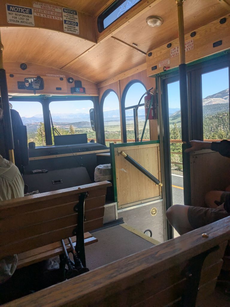
- How I got there: a ~3.5-mile hike on a side trail to the Horseshoe Lake Trailhead, then a free trolley ride from the trailhead into town (another 5 miles)
- Resupply: Grocery Outlet & Vons supermarket, ~2.5 days of food
- Where I stayed: AirBnB split with other hikers
I took my 3rd zero of trail here! I walked in on the side trail over Mammoth Pass because the road at Red’s Meadows was closed for construction. Mammoth is a large-ish ski town with plenty of services (lodging, groceries, post office, outfitter, etc.). The trolley and bus system was great around town and to/from the trailhead.
Conveniently, the Post Office in Mammoth carried ice ax-sized, flat-rate boxes in 2025. This is where I shipped my ice ax home.
Mile 944: Tuolumne Meadows
- Distance from trail: ~0.2 mile
- How I got there: walked along the road
- Resupply: box mailed to the tiny post office, ~3 days of food
- Where I stayed: NA
Tuolumne Meadows is a small store, a hot food counter, and a teeny post office (open seasonally only!). I mailed a box to the tiny post office here with 3 days of food. Another viable option was to carry extra dinners from Mammoth, then resupply on bars and snacks at the little store here.
The Tuolumne Meadows store/post office and Tioga Road close seasonally. I checked that it was open before I shipped anything here.
Road Conditions in Yosemite NP (including Tioga Road)
Tuolumne Meadows store page on the NPS website
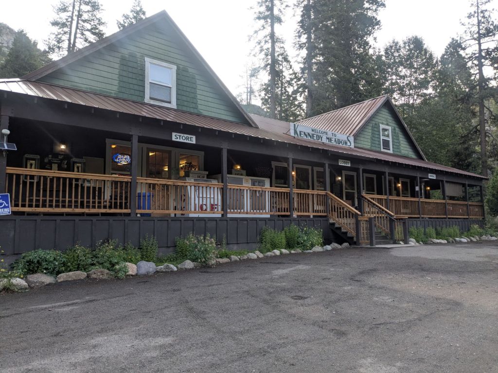
Mile 1018: Kennedy Meadows North Pack Station
- Distance from trail: 10 miles
- How I got there: hitched down, shuttle back ($10)
- Resupply: small camp store, ~4 days of food
- Where I stayed: a rental cabin split with other thru-hikers
Confusingly, there are two resupply locations called Kennedy Meadows. The first Kennedy Meadows is at the beginning of the Sierras (where Triple Crown Outfitters and Grumpy Bear’s are located). The second is Kennedy Meadows North Pac Station, just past the 2,000-mile mark on the PCT.
This was not a full town. Rather, it was a business with a restaurant, a small camp store with adequate hiker resupply, and bunks for rent. They accept and send packages, for a fee. There was also a paid campground a short way down the road.
During hiker season, they ran a shuttle 2x daily to/from Sonora Pass (free to get down, $ to get back to trail). This was helpful as the hitch from Sonora Pass was challenging – even for 2 very wholesome-looking women hitching together. There wasn’t much car traffic at the trail crossing.
Kennedy Meadows (North) Pack Station website
Mile 1092: South Lake Tahoe
- Distance from trail: 12 miles
- How I got there: hitched there, trail angel ride back
- Resupply: Raley’s supermarket, ~4 days of food
- Where I stayed: I spent two nights at the PCT hiker group campsite in the Tahoe Valley Campground (noisy, but free!). I also spent one night at a motel near the campground.
South Lake Tahoe is one of the larger trail towns on the Pacific Crest Trail. They have supermarkets, a shoe store, a post office, motels, a pharmacy, clothing stores, and many other services. The town is pretty spread out, but there’s a free bus!
Tahoe Trail Angels Facebook group

Mile 1154: Truckee
- Distance from trail: 8 miles from Donner Pass (the shortest way in, but there are several other ways to get there – see below)
- How I got there: by car
- Resupply: Grocery Outlet and supermarket
- Where I stayed: with friends nearby
Truckee is a fun stop. I visited Truckee twice on my PCT thru-hike and resupplied there once. However, I didn’t hitch to Truckee from Donner Pass, the typical place where thru-hikers hitch to Truckee. Hikers can access Truckee from other road crossings, but they are less convenient unless you have someone with a car coming to pick you up.
Even though I didn’t hitch into Truckee from Donner Pass, I stopped for a meal at the Donner Ski Ranch. In 2025, the ski ranch offered a free beverage to thru-hikers with a permit.
Donner Ski Ranch PCT Hikers page
Mile 1197: Sierra City
- Distance from trail: 1.5 miles
- How I got there: hitched
- Resupply: I didn’t resupply here
- Where I stayed: I didn’t sleep here
There is a country store here, which would have been fine for a resupply. However, I got a shuttle to Truckee to resupply at a supermarket and to enjoy some more time in that town. Info about shuttles was posted outside the general store in Sierras City.
Sierra Country Store – info for hiker packages
Mile 1236: Quincy
I skipped Quincy since I heard it was a long and challenging hitch. Even so, it might have been more efficient than resupplying Belden, which had pretty limited hours and higher prices.
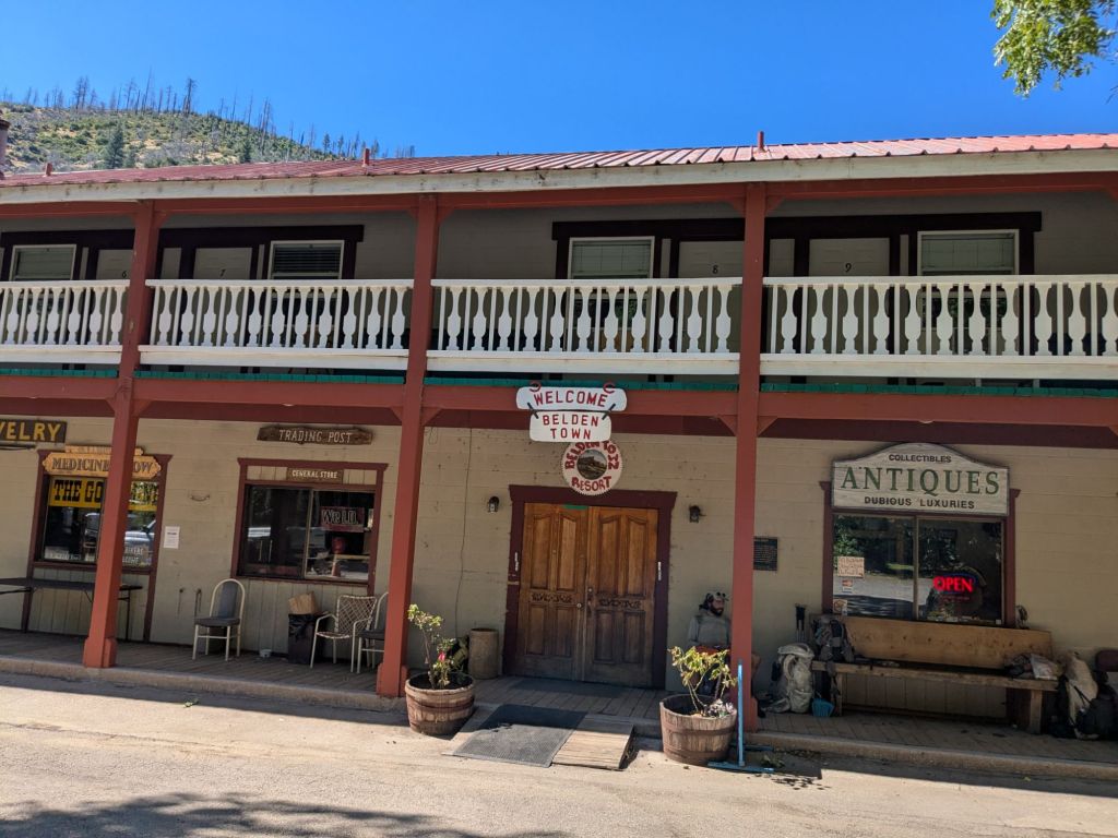
Mile 1289: Belden
- Distance from trail: 0 miles
- How I got there: walked in
- Resupply: tiny, expensive store inside the main resort building, ~1.5 days of food
- Where I stayed: I didn’t sleep here
Belden is not a town. I’m not entirely sure what it is, but hikers can resupply there. When I arrived at this (seemingly deserted) collection of buildings, a man dropping off port-a-johns in a truck informed me this place primarily serves as a festival ground for “pot festivals”. Inside the main building, there was a bar that served food and a very tiny store. In 2025, they did not keep to any posted hours, but rather opened randomly.
Despite the random hours and the general strangeness of this place, I kind of enjoyed my stop at Belden. It was a really hot day, and the long climb after Belden offers little shade. I swam in the river by the resort and hung out until about 5 pm, before heading up the climb.
Carribu Crossroads RV Park (I didn’t ship anything here, though this campground accepts PCT hiker packages. It is located down the road from Belden and also has limited hours).
Mile 1333: Chester
- Distance from trail: 7 miles
- How I got there: hitched
- Resupply: Holiday Market (supermarket), ~3 days of food
- Where I stayed: sneakily camped in the town park (questionably allowed)
Chester wasn’t a difficult hitch. It’s not a big town, but there was a supermarket and a laundromat with a coin-operated shower. It was unclear whether camping in the town park was frowned upon.

Mile: 1375: Old Station
I skipped Old Station, since I’d just resupplied in Chester. However, my friends who walked down the road to get here came back looking happy, full of food and beer. Though I skipped the hot meal, I did enjoy the nearby side trip to the super cool Subway Lava Tubes!
Mile 1413: Burney
- Distance from trail: 7 miles
- How I got there: hitched (medium to low-traffic road)
- Resupply: Safeway, Dollar General, & Grocery Outlet
- Where I stayed: Charm Motel
I hadn’t originally planned to go to Burney. However, I ended up zeroing in Burney to avoid hiking on the worst day of a 104-degree heatwave. The Word of Life church allows hikers to sleep in their gymnasium for free. However, the gym is not air-conditioned. So I sprang for a motel room.
I found the hitch into Burney challenging. It took about 45 minutes to get picked up, which is longer than usual for me. I didn’t resupply in Burney since I shipped a box to Burney Falls State Park General Store, just 8 miles further up the trail.
Burney Mountain Guest Ranch (I didn’t stop here, but many hikers who skipped the town of Burney stayed here – accessed via a side trail shortly before the town of Burney).
Mile 1421: Burney Falls State Park General Store
- Distance from trail: <1 mile
- How I got there: walked
- Resupply: box sent to the general store ($), ~3 days of food
- Where I stayed: NA
Since I hadn’t originally planned to hitch to Burney, I shipped a resupply box to the Burney Falls State Park General Store ($10 to pick up).
Burney Falls State Park Website
Mile 1503: Ammirati’s Market (Castella, Shasta, or Dunsmir
- Distance from trail: <2 miles
- How I got there: walked
- Resupply: box shipped to Ammirati’s Market, ~6 days of food (I’d planned to go straight through to Seiad Valley without stopping. Since I stopped in Etna, I should have done 4 days of food, leaving Ammirati’s.)
- Where I stayed: NA
It was free to pick up a package at Ammirati’s Market in 2025. There was also a post office directly next to the market. I’m glad I didn’t ship my package there since I arrived outside of normal USPS hours.
Mile 1601: Etna
- Distance from trail: 10 miles on a windy road
- How I got there: hitch (low-traffic road)
- Resupply: Ray’s Food Place or Dollar General (I bought snacks only, but could have resupplied here, if needed)
- Where I stayed: I didn’t sleep here
I hitched to Etna on a whim. This is a fine town for resupplying. The library was a nice spot to (quietly) hang out, enjoy Wi-Fi, and charge my devices. However, the hitch to/from Etna was challenging – which is why I’d originally planned to skip it.
I left Etna in the late afternoon. This was the most challenging hitch of my life. After watching me struggle to hitch for hours, a very generous local offered to go out of his way to take me back to the trailhead.
Mile 1657: Seiad Valley
- Distance from trail: 0 miles
- How I got there: walked
- Resupply: at the small store, ~2 days of food
- Where I stayed: I didn’t sleep here
There was not much here. I shopped at the small store, which had a decent selection of hiker food. Like many small stores, it was on the pricier side. I wish I’d checked the labels a bit more closely while shopping, since some food items were very expired.
In 2025, most hikers hung out in the shade in the parking lot before starting the big climb. There was also a campground ($) down the road. During peak hiker season, the Wi-Fi at the little restaurant was stretched too thin for anyone to use the internet. So this wasn’t a good place to figure out logistics or message home.
Mile 1719: Ashland
- Distance from trail: 10 miles
- How I got there: hitched there, trail angel ride back
- Resupply: Safeway supermarket and several other grocery stores, ~3.5 days of food
- Where I stayed: 2 nights in a motel, 1 night at a trail angel’s house
Ashland is a larger town with supermarkets, a gear store, a post office, a pharmacy, an urgent care, lots of lodging options, and more. I enjoyed TWO zero days there. The hitch was slightly challenging (on the I-5 on-ramp).
Mile 1744: Hyatt Lake Resort
I didn’t resupply here, but some thru-hikers walked down a side trail to visit this resort. I believe they hold hiker packages.
Mile 1774: Fish Lake Resort
I didn’t resupply here, but some thru-hikers walked down a side trail to visit this resort. I believe they hold hiker packages.
Fish Lake Resort PCT Hikers page
Mile 1822: Crater Lake National Park – Mazama Village Store
- Distance from trail: ~1 mile
- How I got there: walked on a side trail and road
- Resupply: mailed a box to the store, ~3 days of food
- Where I stayed: I didn’t sleep here
I mailed a box to the small store. The store didn’t seem to cater specifically to hikers. But thru-hikers who didn’t ship a box managed to resupply here with mostly snack foods. There was a campground where some hikers spent the night, but I carried on.
Crater Lake Stores – hours of operation
Mile 1908: Shelter Cove Resort
- Distance from trail: 1.5 mile
- How I got there: walked on side trails and dirt road
- Resupply: tiny (expensive) camp store, ~3 days of food
- Where I stayed: I didn’t sleep here
Shelter Cove Resort is a campground with a store and hot food counter. It was a good place to top off my food bag, get a hot meal, and charge my devices. Since the store had a limited selection and high prices, this would have been a strategic spot to send a resupply package. There was also a paid campground where some hikers spent the night.
Mile 1954: Elk Lake Resort
I didn’t resupply here, but many thru-hikers walked the short distance down a side trail to visit this resort. I believe they hold hiker packages.
Elk Lake Resort PCT Hiker Info
Mile 1985 or 2002: Sisters
- Distance from trail: 16 miles from McKenzie Pass; or 21 miles on Hwy 20
- How I got there: my mom picked me up!
- Resupply: Ray’s Food Place supermarket, ~4 days of food
- Where I stayed: AirBnB
I enjoyed slack packing the ~17 miles between the two roads into Sisters, OR (McKenzie Pass and Highway 20). I resupplied in Sisters, which is a good-sized town complete with a supermarket and several (expensive) lodging options. However, some hikers hitch to the even larger (and further away) town of Bend.
Mile 1997: Big Lake Youth Camp
I skipped the side trail to Big Lake Youth Camp. However, hikers who don’t want to hitch into Sisters or Bend could mail themselves a resupply box here.
Big Lake Youth Camp PCT Center page
Mile 2049: Olallie Lake Resort
I didn’t resupply here, but could have at the small store if I’d needed to. The resort is only a quarter mile or less off the trail. It was worth the side trip to buy a soda at the tiny shop.
Olallie Lake Resort PCT hikers page
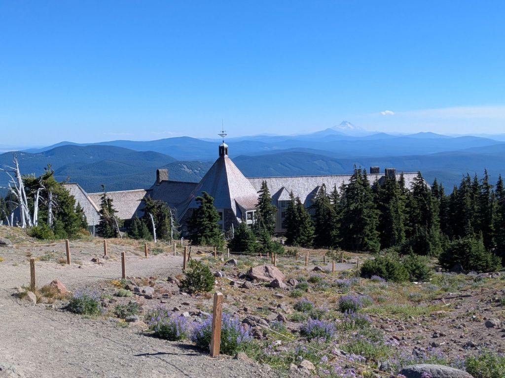
Mile 2099: Timberline Lodge
- Distance from trail: 0.2 miles
- How I got there: walked
- Resupply: sent a box to Timberline Lodge Guest Services, ~2 days of food
- Where I stayed: NA
I loved stopping here for the all-you-can-eat breakfast buffet. After that, I walked down to guest services to pick up the resupply package that I shipped there.
Timberline Lodge PCT Package Info
Mile 2150: Cascade Locks/Hood River
- Distance from trail: 0 miles to Cascade Locks; 20 miles to Hood River
- How I got there: walked into Cascade Locks and took the $2 bus to Hood River
- Resupply: Colombia Market in Cascade Locks; Walmart and Safeway supermarkets in Hood River, ~3 days of food
- Where I stayed: hotel in Hood River
I walked into Cascade Locks just in time for the PCT Days festival. Consequently, lodging in Cascade Locks was already fully booked up or very pricey.
I stayed in a hotel room with a few other hikers in Hood River. The $2 bus to get back and forth between Cascade Locks and Hood River was very convenient. Plus, it dropped off very close to the Walmart in Hood River – perfect for resupplying.
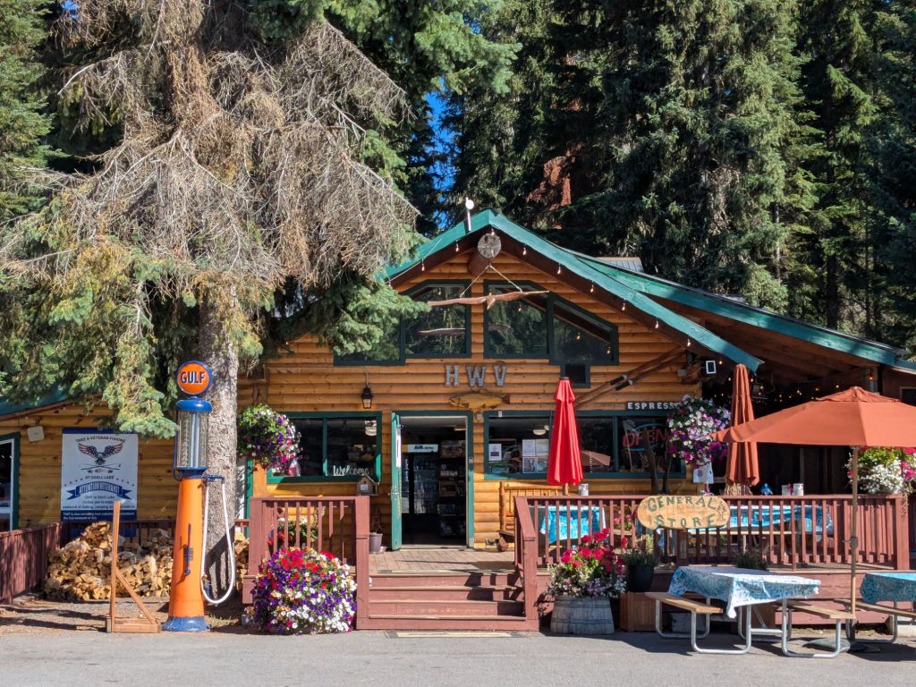
Trout Lake
- Distance from trail: 13 miles
- How I got there: trail angel shuttle (runs regularly during peak thru-hiker season) to town, hitched back (very low-traffic road – not recommended!)
- Resupply: shopped at the small grocery market, ~3 days of food
- Where I stayed: I didn’t sleep here
I took the shuttle down into the tiny town of Trout Lake. The road is very low-traffic. I ran into some difficulties when I missed the shuttle back to the trail and tried to hitch instead. Fortunately, I made it, thanks to a local who turned around and offered to go out of her way to help me get back to the trail. There was some sort of shower/lodging option here, but I skipped it.
Trail Angel and Shuttle Information Page
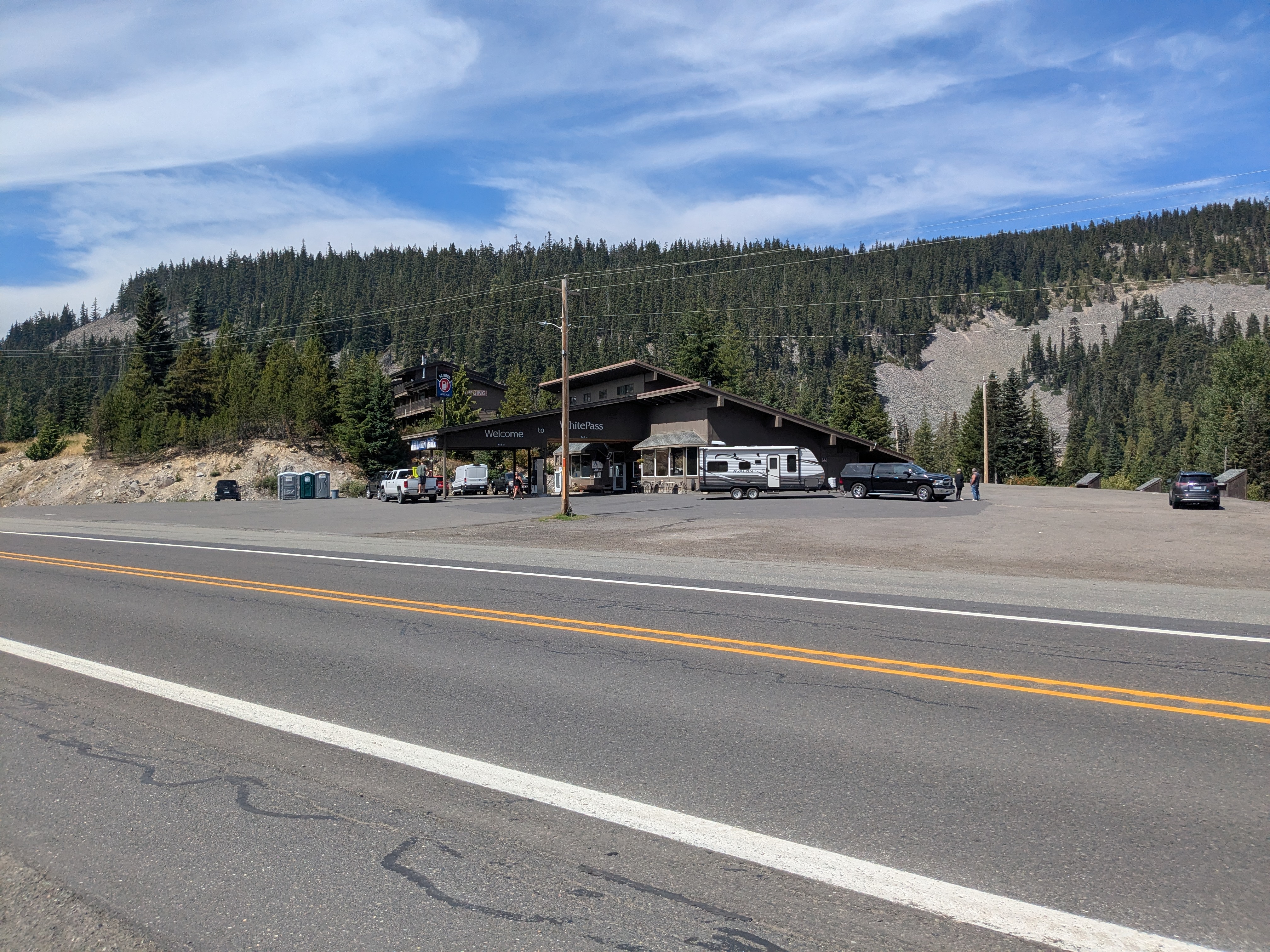
White Pass Kracker Barrel Store
- Distance from trail: <1 mile
- How I got there: walked on the road
- Resupply: shipped a box to the store, ~4 days of food
- Where I stayed: NA
The White Pass store is a gas station, located close to the trail, that caters to thru-hikers. They have a hiker hang-out area behind the store with picnic tables, a sink, and charging stations.
I hear they had options to pay for showers and laundry, but I opted to stay dirty. I shipped a box here, but some hikers shopped inside the store – though it’s gas station food. I didn’t bother hitching into the larger, further away town of Packwood from White Pass.
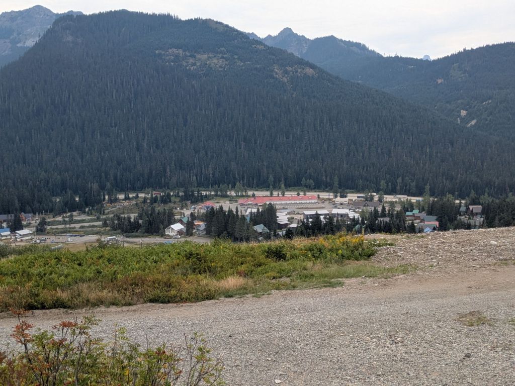
Snoqualmie Pass
- Distance from trail: 0 miles
- How I got there: walked
- Resupply: small grocery market, ~3 days of food
- Where I stayed: a trail angel’s cabin
This could have been a very easy town to get in and out of. However, I spent an impromptu night here because a trail angel offered up his cabin to me and my hiking partner. I was glad for a free night in a bed and a shower. The other lodging option at this stop was Summit Inn.
Stevens Pass Ski Area/Leavenworth
- Distance from trail: 0 miles to Stevens Pass; 35 miles to Leavenworth
- How I got there: hitched there, ride with a trail angel back
- Resupply: I shipped a box (FedEx) to Steven’s Pass Ski Area; ~5 days of food. In Leavenworth, there were several grocery stores and supermarkets
- Where I stayed: a trail angel’s house
I spent my final zero day of the PCT in Leavenworth. Originally I hadn’t planned to go into this town, but it was a fun place for a rest day. Since I hadn’t planned to hitch to this town, I mailed myself a package to Steven’s Pass Ski Resort (directly next to the PCT).
Stevens Pass Ski Area hiking & thru-hiker resupply info (scroll down)
Stehekin
- Distance from trail: 11 miles
- How I got there: shuttle bus ($)
- Resupply: mailed a box to the post office, ~5 days of food
- Where I stayed: didn’t spend the night
I caught the shuttle (a school bus) in and out of Stehekin the same day – I didn’t need a reservation. For those who stayed in town, there were a couple of campground options. There was a tiny store, but it carried mostly gifts and beverages. I was very glad I shipped a box to the post office here (general delivery).
Mazama via Harts Pass
I skipped hitching to Mazama from Hart’s Pass on my way to the Canadian Border. In 2025, thru-hikers could not enter Canada from the U.S. on the trail. So all hikers came back to Hart’s Pass after finishing.
This wasn’t an easy hitch (about an hour ride on dirt roads), so I’m glad I only had to do it once, after finishing.
That’s all! Thanks for reading! If you’re an aspiring Pacific Crest Trail thru-hiker, I hope this information is useful to your planning process. Or if not, I hope you learned something new about how thru-hikers get their food and found it interesting.

Leave a comment