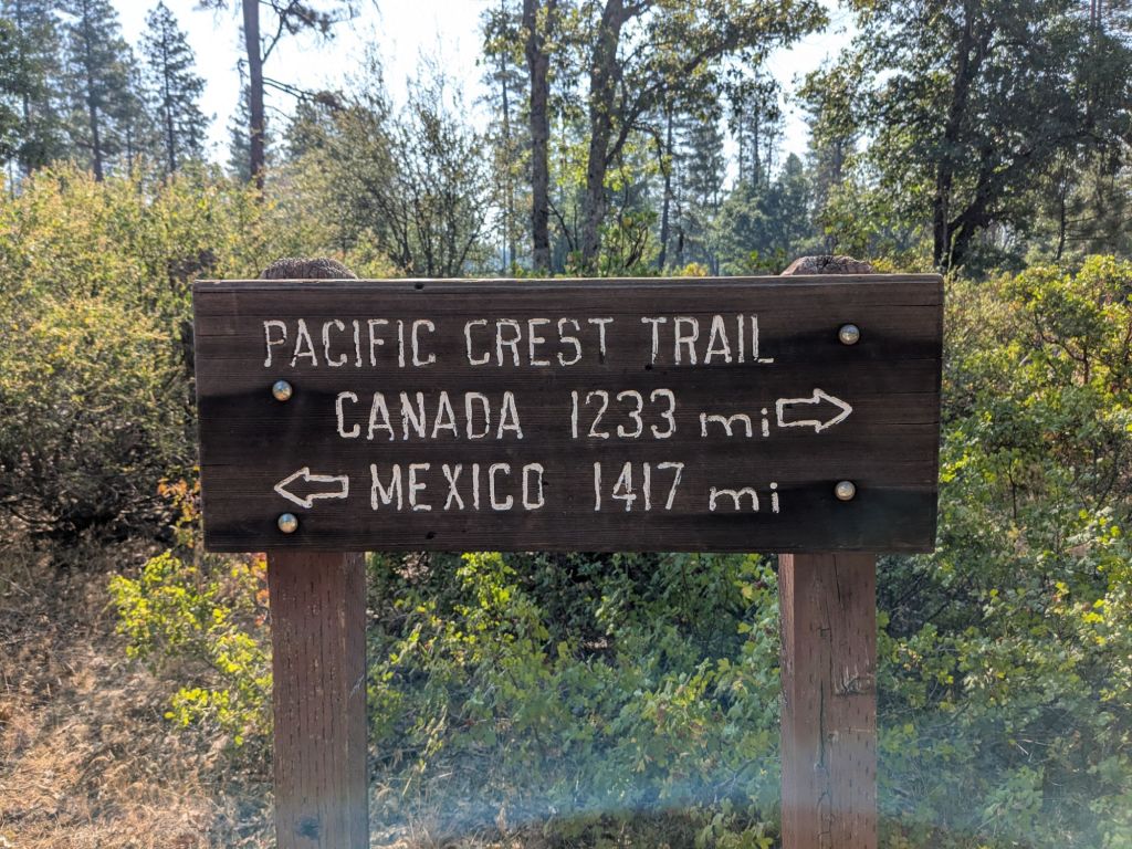
Burney to ~Interstate Highway 5.
Miles 1,413 – 1,500.
Days 72 – 74.
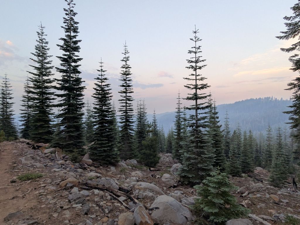
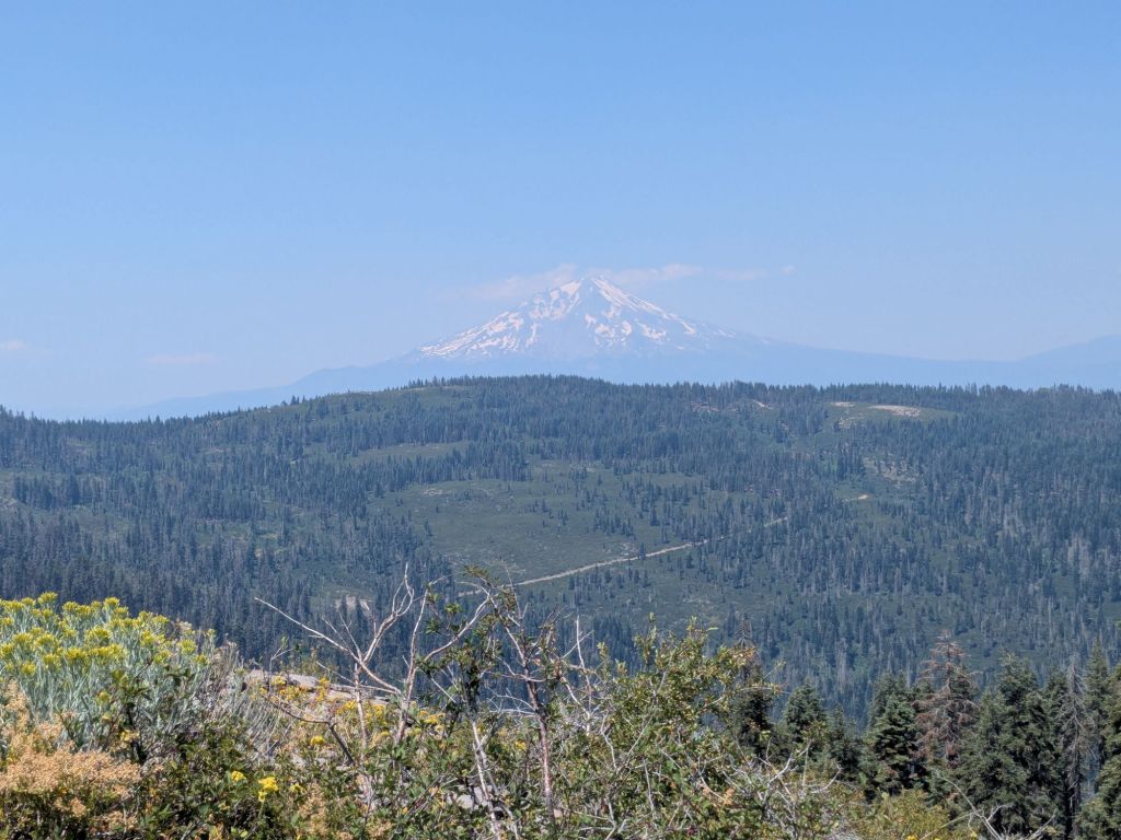
After Burney, the Pacific Crest Trail passes near Burney Falls State Park. It then climbs up into conifer-covered mountains. The trail winds up and down, often following the ridges. On the many open ridge tops, hikers get views of a towering volcano: Mt Shasta. Near the end of the section, the trail descends several thousand feet to Interstate Highway 5, near the towns of Shasta and Dunsmuir.
Day 72
I awoke early in Burney, CA, and bid a sad farewell to my air-conditioned motel room. Though the worst days of the heat wave are over, today will still reach the low 90s. I felt eager to start hiking early.
Swish and I walked out to the main road in the center of Burney to try our hand at hitching a ride back to the trail. I had low expectations after waiting longer than usual for a hitch into town two days prior. However, before we could even stick our thumbs out, a car going the opposite direction made a U-turn and pulled over. Not only did the driver take us back to the trail, but he also gave us electrolyte packets!
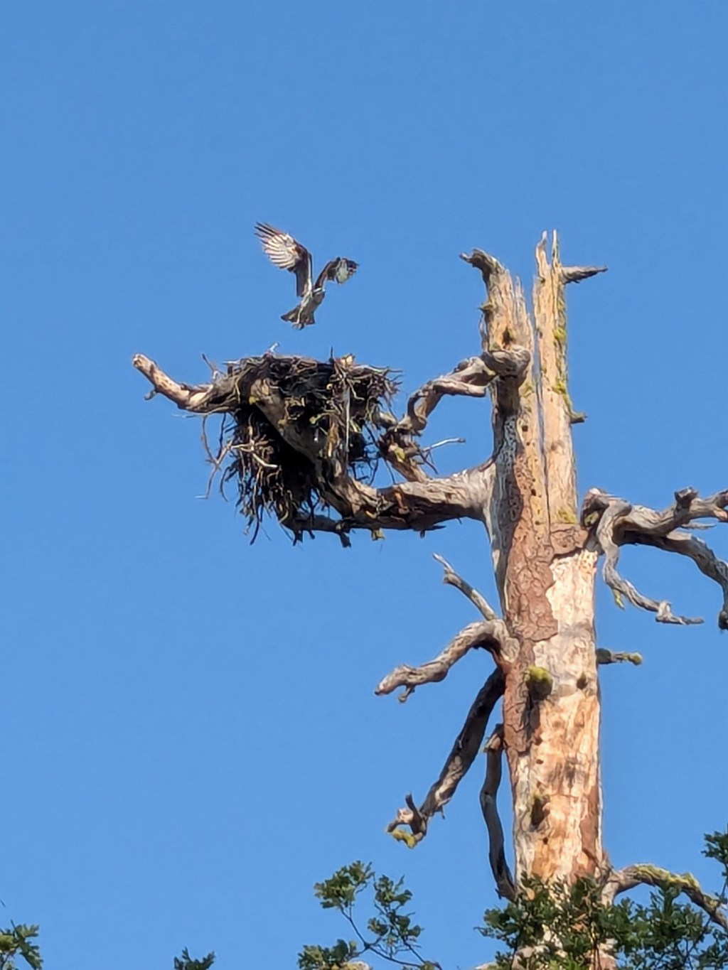
I hiked an extremely flat 8 miles, chatting with Swish and a thru-hiker from New Zealand named Hush. Hush and I have been seeing each other from time to time since the start of the Sierras, but this was our first time walking together. As we hiked, we spotted an osprey nesting!

By late morning, the three of us arrived at Burney Falls. Burney Falls is a state park with a sweet waterfall. Perhaps more importantly to thru-hikers, there is a small general store there that sells snacks and will hold hiker packages. I picked up my resupply box there and also linked up with GTA, who spent the morning swimming near the falls.
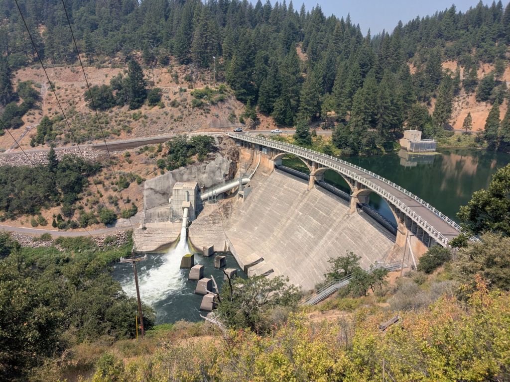
We walked across a large dam on a river and later arrived at a smaller creek – an ideal lunch spot complete with a swimming hole and a shady area under the bridge. After a quick lunch and a dip in the water, I carried on. I was anxious to get the next climb over with before the hottest part of the day.

Fortunately, as I climbed the breeze picked up a bit and the temperature dropped slightly with elevation. The forest was also quite dense, providing the type of shade I often dreamed of back when I was in the desert. Best of all, the amount of wildfire smoke in the air decreased as I got higher.
The smoke from fires has been quite bad recently. I know some hikers are skipping areas to try and avoid the worst smoke. Others, like me, are carrying on through it for now, though wondering at what point the smoke will start to impact our health. We live outside and breathe the smoke all day and night. Regardless, we may all have to miss a small piece of the PCT soon when we reach the upcoming fire closure in another week or so.
Day 73
It was one of those unusually uneventful days on the Pacific Crest Trail. I woke up and started hiking at the very average start time of 7:30 am. I suffered from my usual discomforts: mild headache from wildfire smoke, heat rash, and hip belt chaffing. I walked 10 pretty uneventful miles to a creek crossing where I filled water.
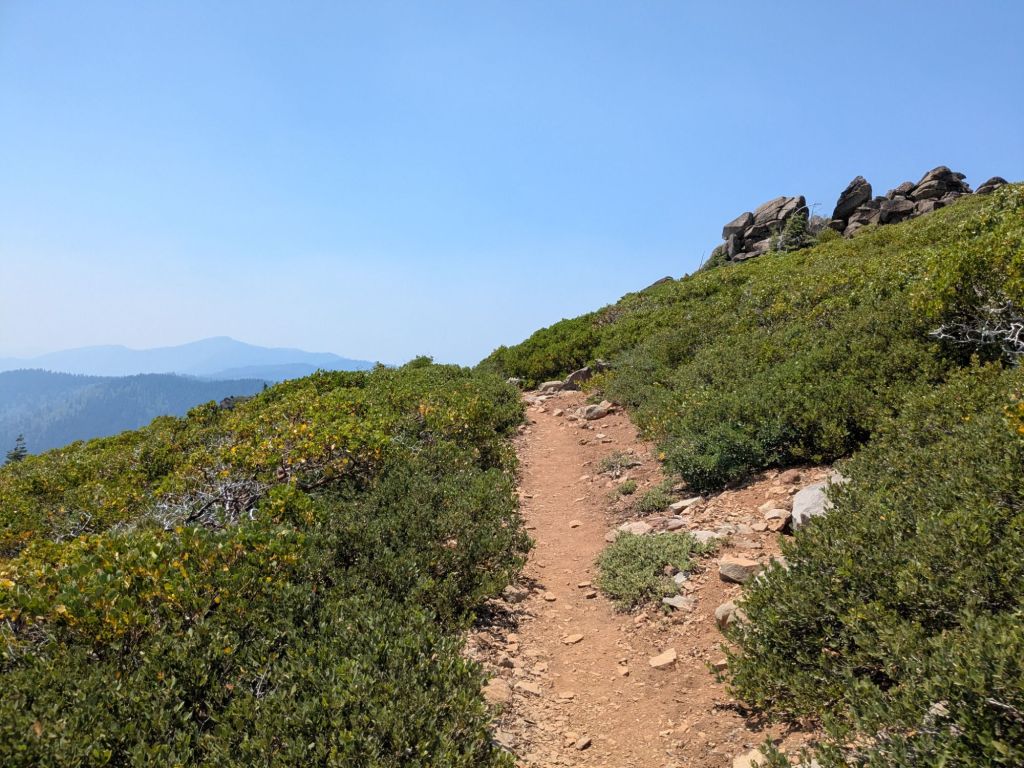
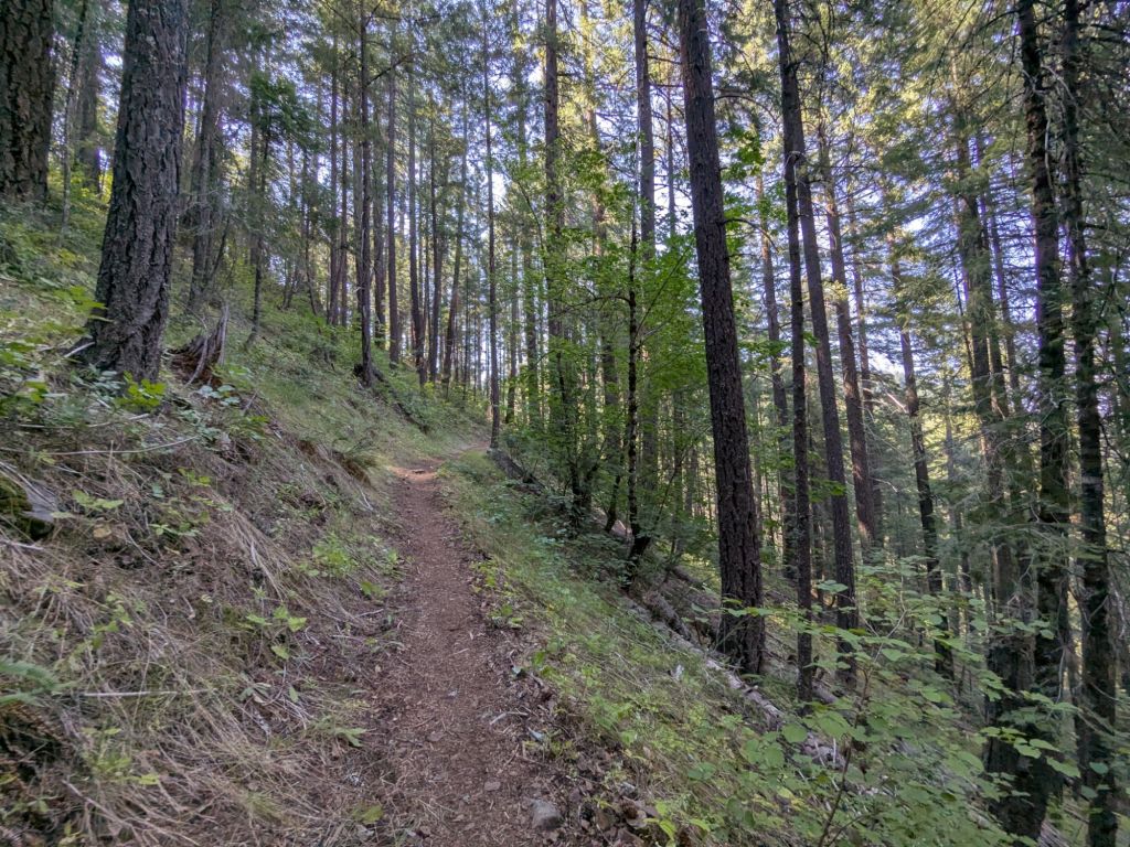
The trail was quite brushy and overgrown today. This area does not feel like it is heavily used. I didn’t see any day hikers or backpackers other than a handful of thru-hikers that I’ve been leapfrogging or hiking with recently.
The day was hot, but not as hot as the past few days, with temps likely no higher than the low 80s. The wildfire smoke was thick, but no worse than the previous few days.
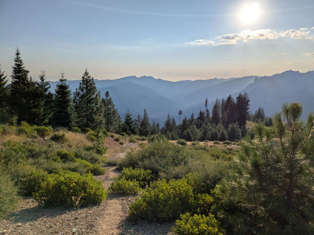
The highlight of the day was some views of Mt. Shasta off the top of a treeless ridge. Mt. Shasta is a 14,000+ foot tall volcano. The Pacific Crest Trail does not go over it or even get particularly close to it. But we do get to see some nice views of it from a distance.
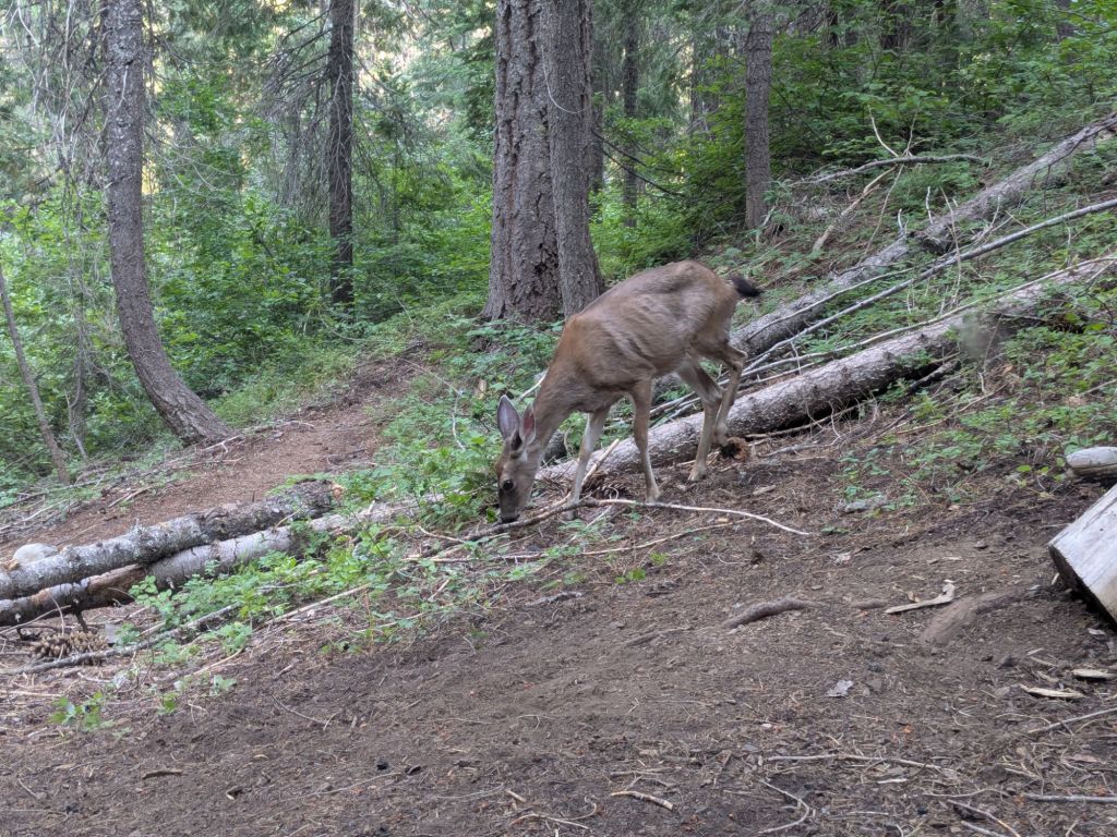
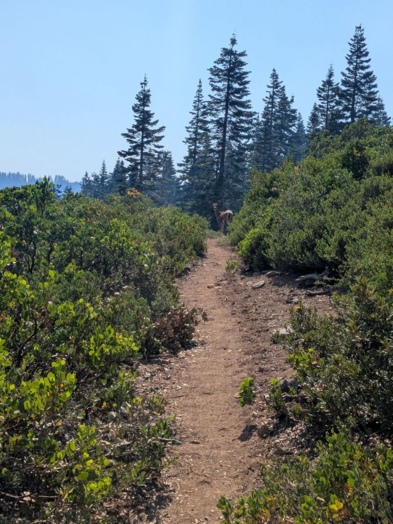
Another highlight in this area is, oddly enough, the deer. There are tons of deer, and most are not afraid of humans in the slightest. They will walk down the PCT shortly ahead of hikers sometimes for 10+ minutes, as if they are guiding the way.
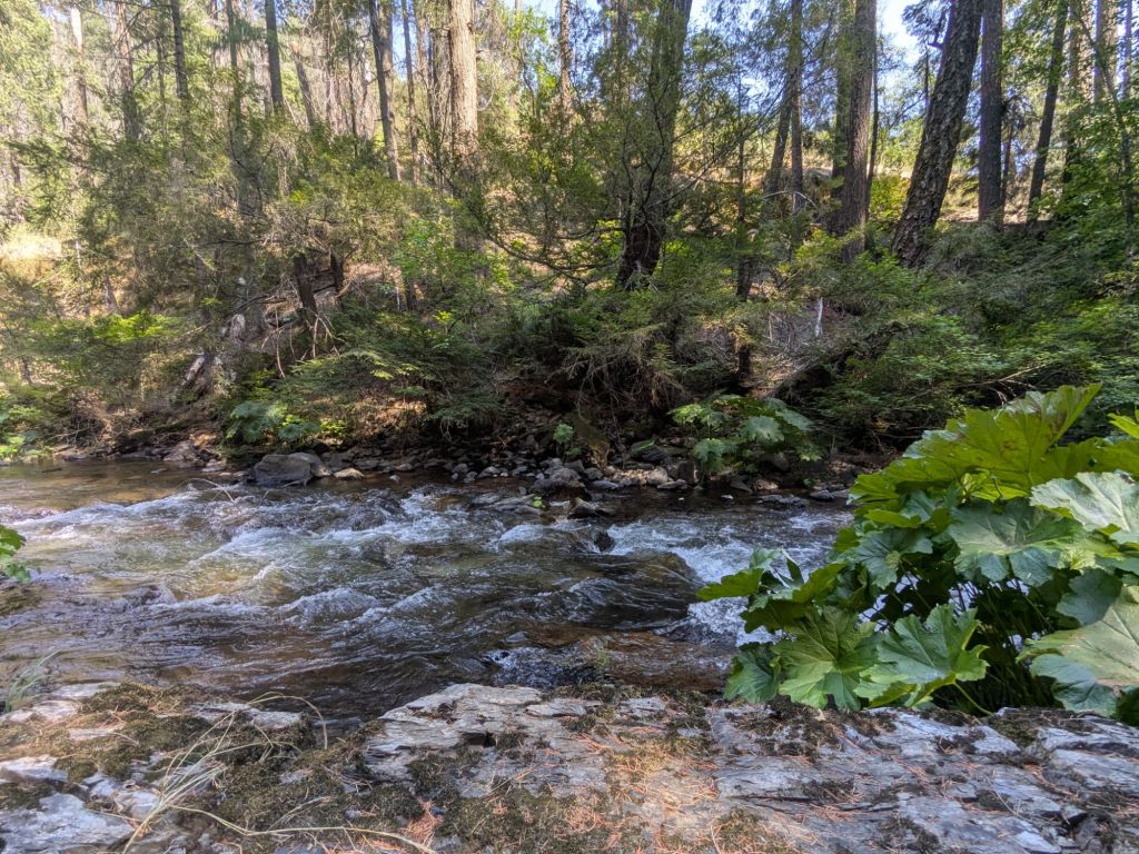
I crossed my final creek of the day shortly before camp, a tiny babbling stream through mossy boulders. After our many challenging river fords in the Sierras, you’d think we thru-hikers would have no trouble rock-hopping across a little creek. However, that didn’t seem to be the case today. First, Hush slipped into the creek. Then I slipped. Then Swish slipped. The three of us continued hiking to camp with one wet shoe and sock a piece.
I stopped early for the day, since I found a very nice little campsite in the forest with lots of flat tent spaces. Swish, Hush, Stag, and Jukebox all had the same idea and camped there too. It’s the largest group I’ve camped with in a little while.
Day 74
Overnight, the group at our campsite grew larger. Two more hikers quietly rolled in after dark yesterday evening. This morning, I packed up quickly and vacated our little tent city, eager to enjoy a long, cruise-y downhill section that would last nearly 10 miles.
As I expected, my morning miles flew by on the gradual downhill through the conifer forest. Excitingly, I saw a fox run across the trail. It actually scared me a little, yipping and yelling loudly as it approached the trail, then continuing to make more strange noises as it disappeared back into the understory on the other side of the path. I realized that until now I had no idea what sound a fox makes. Turns out it sounds like a cross between a crow and a cat. What does the fox say? Now I know.
After the long downhill, I filled some water and tackled the first of my two climbs today. I was glad to get it out of the way before the afternoon heat. I stopped and had a first lunch with a large group of thru-hikers near the top of the climb. After that, I proceeded downhill to a pleasant creek with a swimming hole. The perfect spot for a second lunch and a mini-siesta.
The heat today didn’t merit a long siesta, but my two-hour mid-day break afforded me the chance to swim and let me avoid the worst of the heat. Thankfully, the temperatures went down significantly after the recent heatwave. Now, the afternoons are only annoyingly hot or uncomfortably hot. But not dangerously hot.
Apart from the heat and the burn areas, I really do love Northern California. I still think it has some of the most enjoyable wooded trails and scenic ridge-top walks of the PCT so far! Such as this evening, after my break, I had a wonderful climb through pines, followed by a long downhill atop a ridge with views out to the massive Mt. Shasta and the surrounding lesser mountains. The parts of NorCal that are nice are really nice. However, the parts of NorCal that have been rough (like the Dixie Fire burn area) have really been rough.
In total, I hiked over 31 miles today (a 50K!) with over a mile of elevation gain! Not bad for a day that included swimming! I arrived at my campsite not long before dark, and promptly got ready for bed.
As is normal recently, it remained quite hot even after the sun went down. I fell asleep with my quilt fully open, in my underwear, still sweating slightly. From my campsite, I could hear traffic on Interstate Highway 5 below. Tomorrow morning, I’d reach the highway within my first 3 miles of hiking. From this distance, the humming of cars and trucks on the highway was a soft and almost pleasant sound – a soothing reminder that civilization and all its wonders await us in the morning.

Leave a comment