Idyllwild – Big Bear.
Mile 179 – 266.
Days 10 – 14.
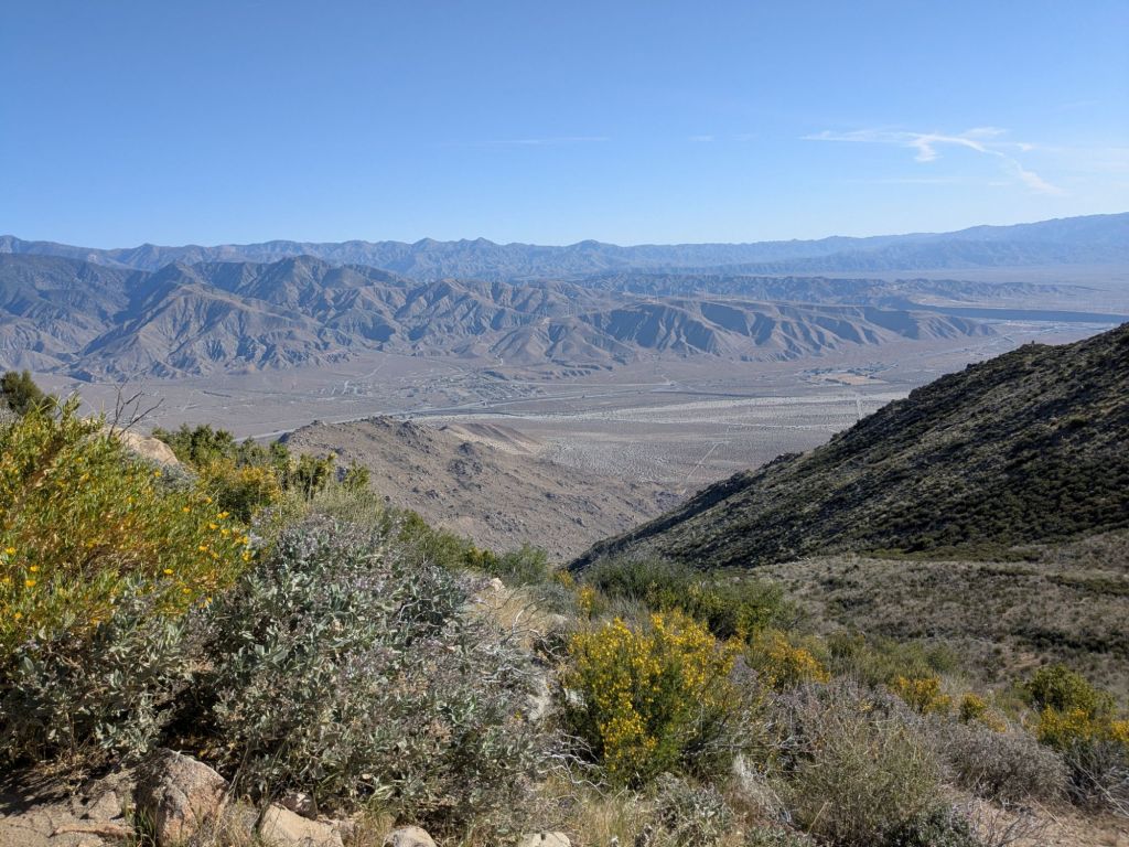
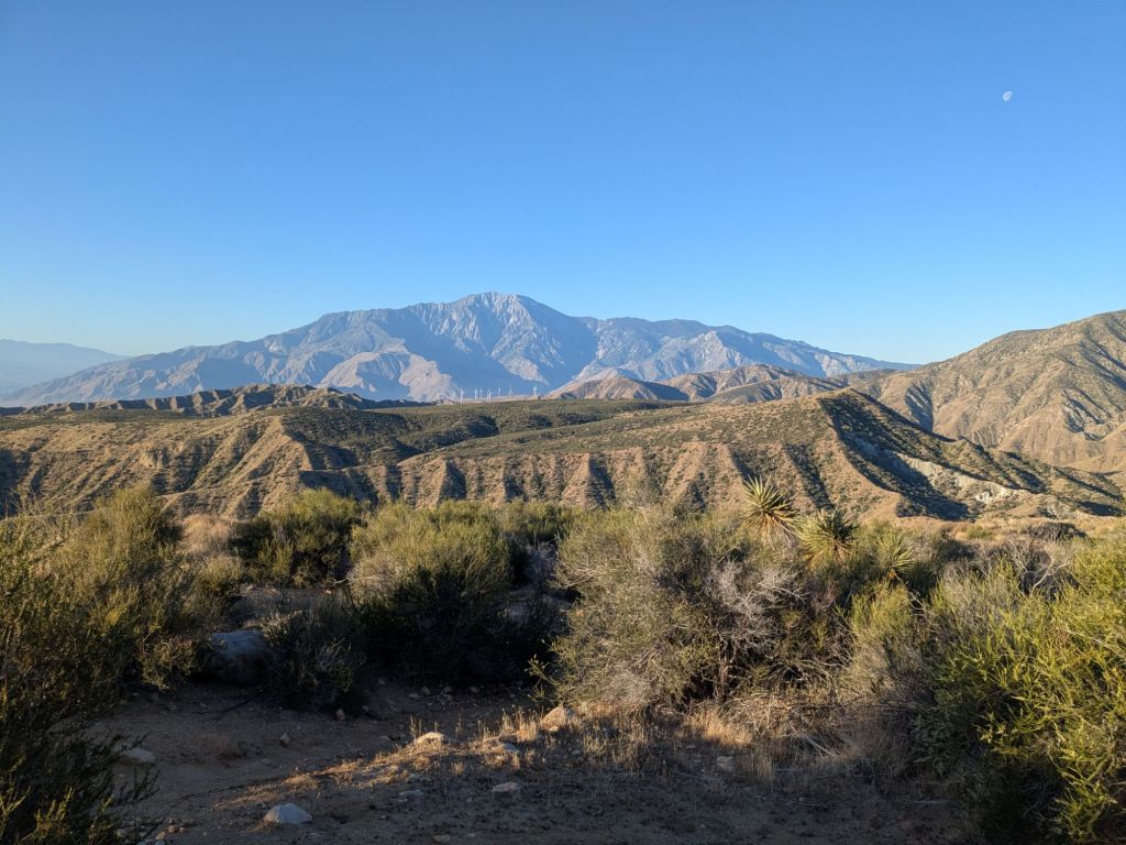
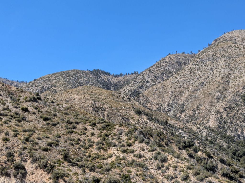
After Saddle Junction, the Pacific Crest Trail (PCT) continues cresting the dramatic spine of the San Jacinto range, then descends ~7,000 feet to Interstate Highway 10 near Cabazon. From there, the trail follows the washed over riverbed of Mission Creek back up to high elevations in the San Gorgonio Range.
Day 10
After a restful night in a real bed, I woke up in the cabin in Idyllwild. I bid farewell to four of my cabin mates, who got up early to hitchhike back to Paradise Valley Cafe. I got a shuttle with Trail Angel Grumpy up to the Humber Park trailhead. From there, I tackled the long hike up the Devil’s Slide side trail.
With a name like Devil’s Slide, I pictured this trail being a steep scree field. Instead, it is 2.5 miles of gradual switchbacks which meet up with the PCT at Saddle Junction, around 8,000 feet elevation.
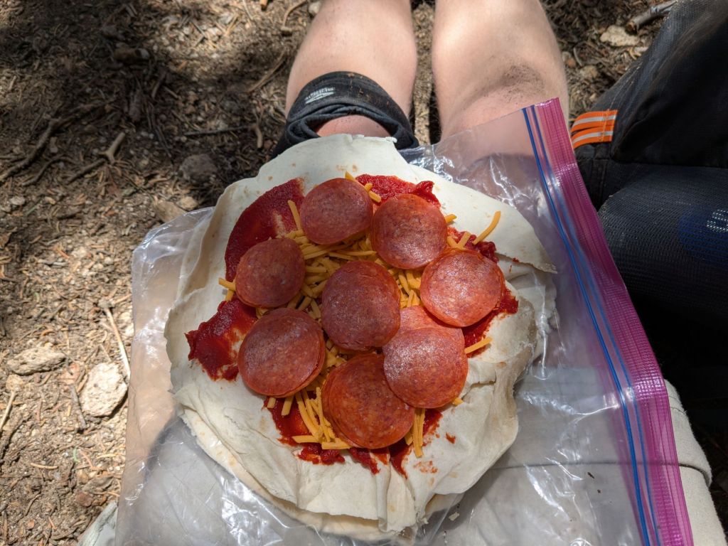
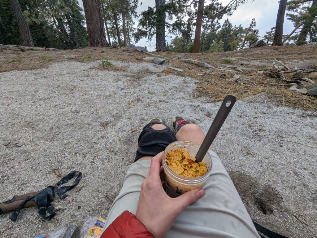
I was back on the PCT by 11 am, and only made it a mile or two before I stopped to eat. Idyllwild was my first resupply stop that I didn’t mail a box to and instead grocery shopped. Consequently, my food bag was brimming with all the salty snacks that I’ve been craving recently. For lunch, I made myself a pepperoni pizza burrito – a backpacking favorite food of mine!
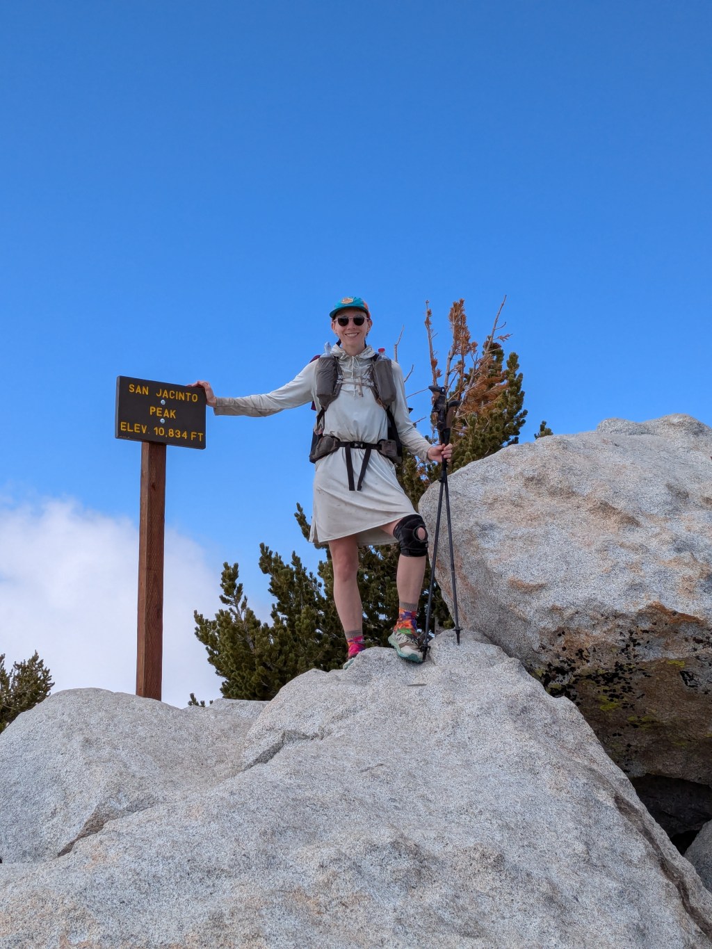
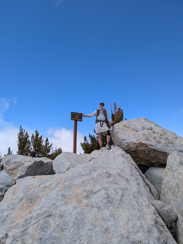
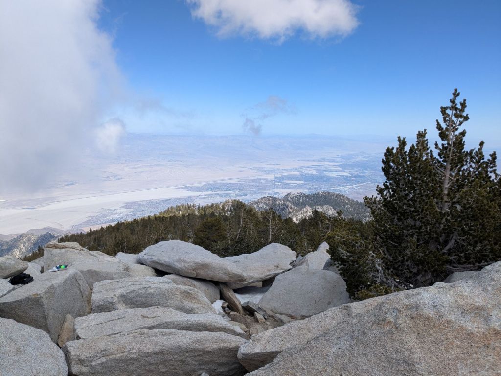
After lunch, I made a last-minute decision to do a side trip today, up to the summit of San Jacinto Peak. This nearly 11,000-foot peak is not actually located on the PCT, but is close by. The trip adds a few miles as well as an extra 2,000 feet of climbing. I’d intended for today to be an easy-ish day, but the peak was calling my name.
Hiking up towards the peak, I felt great! I love being up at this elevation, as it reminds me of my home in Colorado. I embraced the feel of my lungs expanding fully with each breath and the lactic acid burn in my calves as I climbed.
The peak itself was lovely and I’m glad I took the time to do the side trip. From the top, I could see a really long way. The whole San Jacinto Range feels like a walkway in the sky above the desert. Standing on the peak allowed me to see for miles and miles in every direction. Some local hikers even pointed out the Salton Sea and Palm Springs to me – both visible from the top!
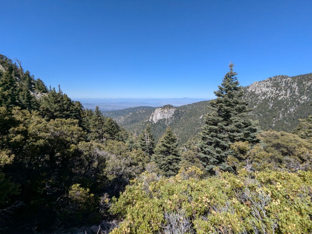
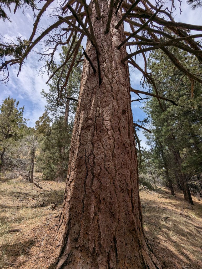
Once I returned to the PCT, the rest of my day was mostly a gradual downhill. I stopped for dinner at a pretty overlook (refried beans & Fritos!) before cruising down many, many switchbacks. The scenery gradually changed from pine forest back to chaparral shrubs.
It’s bittersweet climbing down from the San Jacinto range. This has been my favorite part of the trail so far, and I’m sad to leave. However, I know more great things lie ahead. Plus, the gradual downhill was quite pleasant and cruise-y.
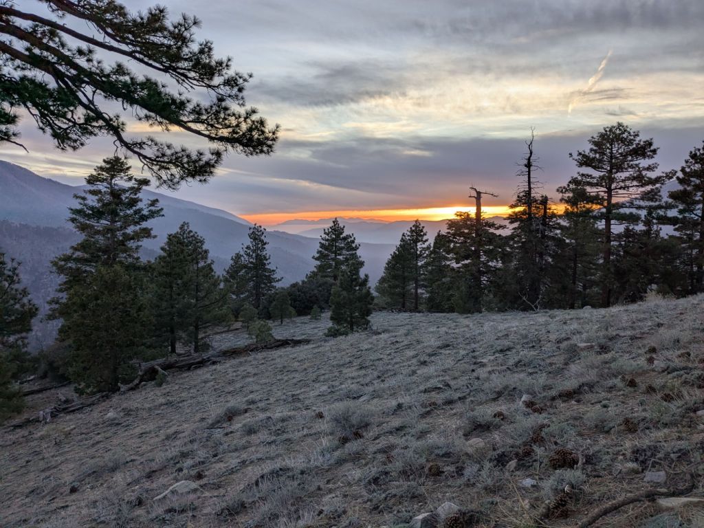
I filled my water containers at a creek around sunset. Instead of camping by the water, I decided to hike on a little further by headlamp to find a more scenic place to cowboy camp.
Ultimately, I found the perfect spot – a little flat and sandy spot on a ridge overlooking the Palm Springs city lights! I can also see the blinking red lights of a wind farm below, which I think I might cross through tomorrow after finishing the big downhill out of the San Jacinto range.
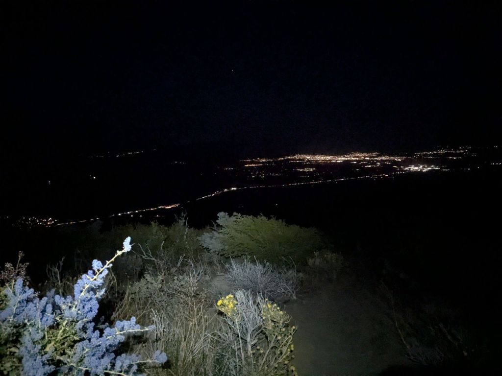
Notably, tonight is my first night of my trip camping alone! However, I don’t feel truly alone. I can see the far-off glow of headlamps inside tents down the hill from where I’m cowboy camping.
Day 11
I awoke when the sun hit my quilt. I felt rested after a solid 8 hours of quality sleep, but perhaps I slept in later than I should have. Today would be hotter than the last few days, AND I would be heading back down to lower elevations, where it’s typically hotter and dryer.
Regardless, I took my sweet time leaving camp. I enjoyed my protein shake in my quilt while looking at the view and even did a little yoga.
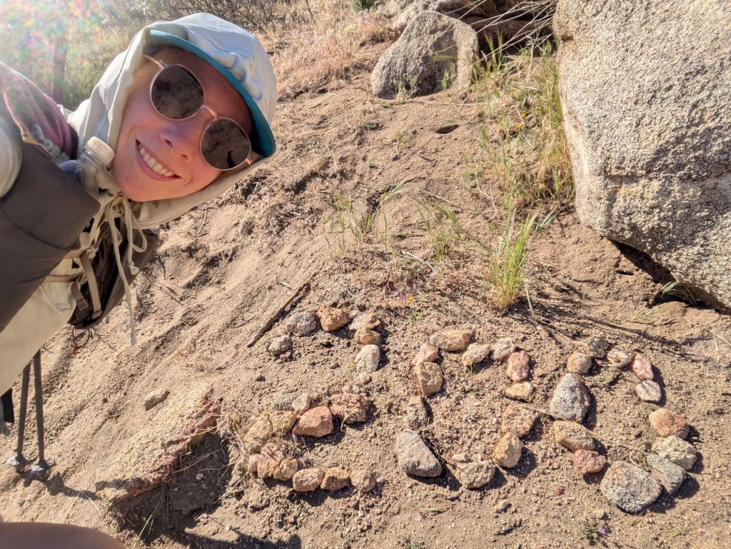
Soon after I began hiking, I hit the 200 mile mark on the trail! Just like the 100-mile mark, this spot was marked with stones arranged into the mileage number. In another few days, I’ll pass the 265-mile mark, which will mean I’ve finished 10% of the whole trail – another exciting milestone!
The rest of my morning hike included about 5,000 feet of descent, over about 11 miles – the equivalent of hiking to the bottom of the Grand Canyon! I lost count of the number of switchbacks I hiked this morning, but there were many.
I took it slow and steady, not wanting to do anything to aggravate my bad knee, which so far has amazingly not been an issue at all. Shout out to my physical therapist, Jeff at Rebound Fitness, for helping me get my knee back in hiking shape in time for this trip!
Honestly, my whole body has felt really great so far. This is the strongest my legs have ever felt at the start of a thru-hike. I haven’t experienced any stiffness or sore muscles yet, and my feet are pretty happy too. However, that doesn’t mean I’m not challenging myself in other ways. The heat has been a real struggle for me, and I’m doing my best to stay safe and comfortable at high temperatures. And hiking 20+ mile days is certainly still a mental challenge, even though my legs and feet feel more than up for the task.
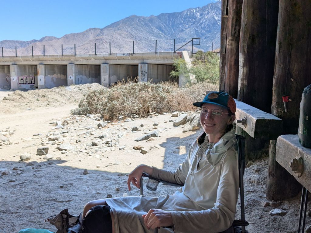
Before noon, I reached the I-10 underpass. At this point it was quite hot, and I was having flashbacks to the scorching heat at Scissors Crossing on day 4 of my hike. The interstate underpass was a noisy and not scenic place to take a long break. But it was the only spot today to rest in the shade, since there are no trees at this elevation.
With rumors going around that there were 4 heat-related helicopter evacuations of PCT hikers during the heat wave last week, hiking in the early and late hours feels smart. But I don’t love the sleep deprivation and isolation my weird schedule causes.
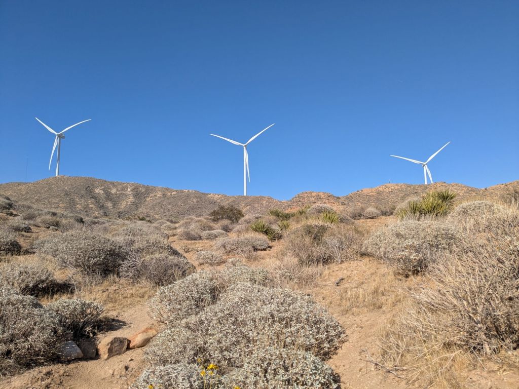
Despite the noise at the underpass, I managed to take a fairly relaxing 3 hour break. After, I continued hiking through the Mesa wind farm which was an interesting change of scenery. It seemed like they picked a good spot for the wind farm, as there was a nice cooling breeze.
Later that evening, after stopping for dinner, I arrived at White Water Creek. This was a super wide valley full of chalky white boulders with a tiny creek running through the center. It was pretty enough, but I much prefer a nice scenic ridge for camping. So I made the impromptu decision to night hike another 3 miles to a campsite a ways up the hill.
I hiked by headlamp through a maze of sandy washes, singing through every song I know all the lyrics to. I just hoped that a mountain lion wouldn’t eat me in the middle of my pitchy and breathless rendition of “Country Roads Take Me Home”. That’d be an embarrassing way to go!
As I walked, I saw a blinking light on the ridge. A house? Another night hiker? When I finally made it to my campsite on the ridge, I found thru-hiker GTA already camped there. She had seen my headlamp moving through the valley below and blinked to signal to me that she was up there.
I was happy to have some company and another beautiful campsite on a ridge. I rapidly unpacked and probably was asleep less than 30 minutes after I stopped hiking for the day.
Day 12
Some days on trail are so beautiful and inspiring that the miles fly by. Today was not one of those days. Today was brutal.
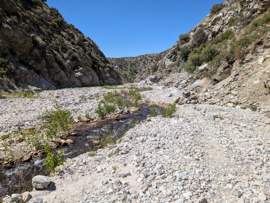
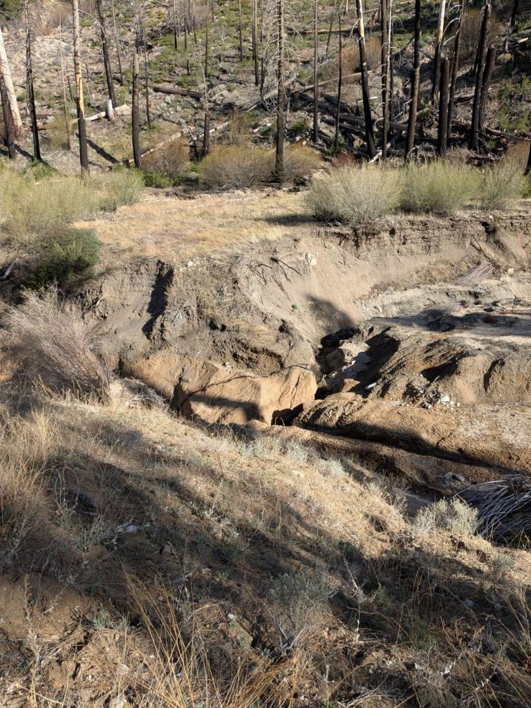
This morning, the trail descended into a wide river drainage. From there, the trail follows Mission Creek uphill for about 12 miles.
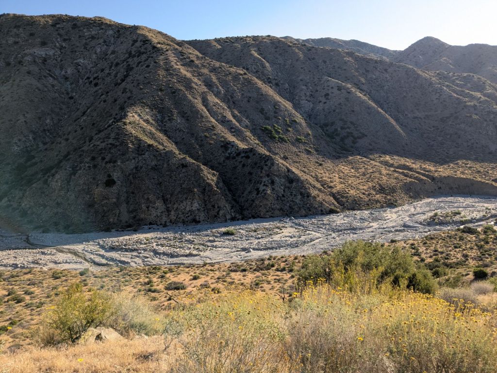
A few years ago, Mission Creek experienced severe flooding which completely rearranged the riverbed and wide floodplain, and washing out the PCT in this area. To make it through this section, thru-hikers must route their own path through the jumbled mess of boulders and loose sediments. I can’t imagine the size of the flood that caused this extreme level of erosion.
Once I started the Mission Creek portion of the trail, it became clear to me that I’d have to adjust my expectations for the day. My pace was less than half of what it normally is. I struggled to route-find and rock-hop through the valley bottom. Though it’s a unique and beautiful area, it was also quite frustrating.
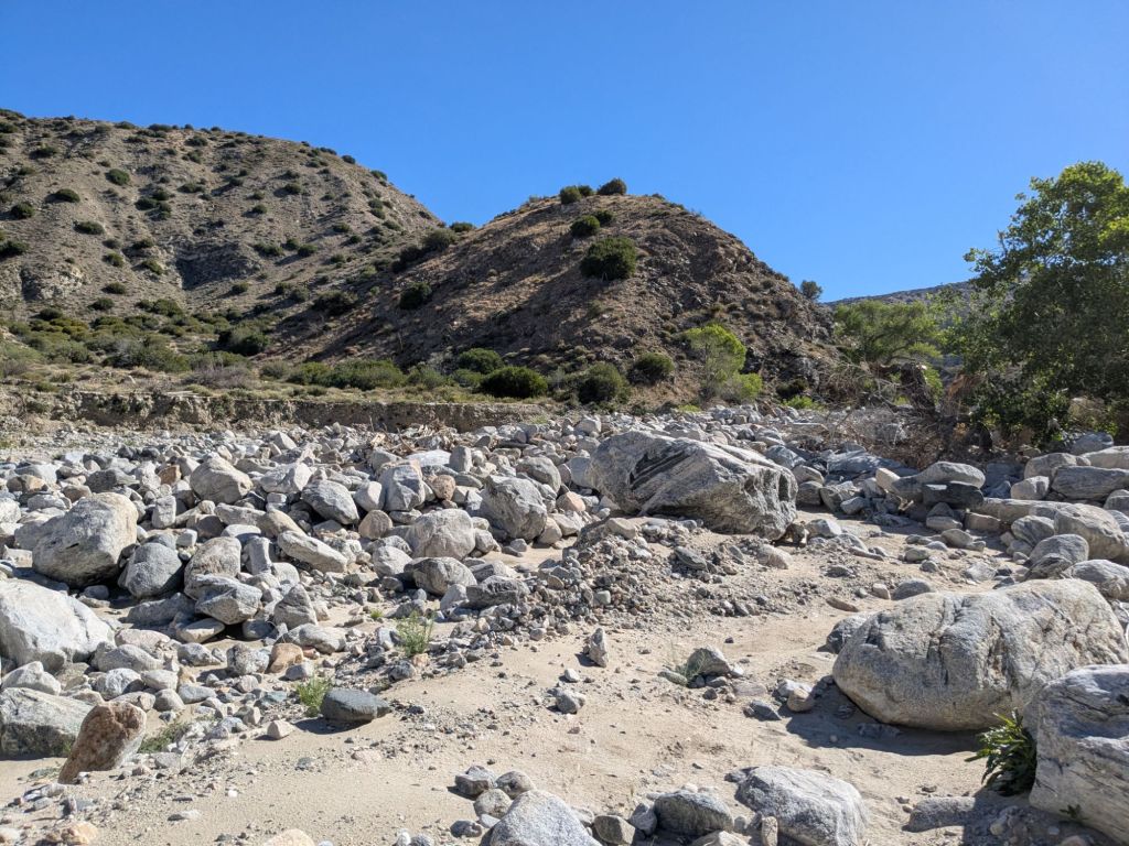
This part of the PCT reminded me of Pennsylvania on the AT, the Mahoosic Notch, and non-technical off-trail canyoneering in Utah all rolled into one. It also drew up memories of the summer I worked for the US Forest Service and did synoptic water sampling of streams – that is, hiking up the length of streams (off-trail) to collect water samples along the way. I.e., frustrating bushwhacking and rock hopping!
Not only is Mission Creek difficult, it also has the potential to be dangerous. Earlier this hiking season, a PCT thru-hiker took a wrong turn on this part of the trail. She ended up stuck on a ledge but was thankfully saved by a helicopter rescue team. I’m pretty sure I saw the spot where this happened as I walked today.
I was totally relieved to reach the top of Mission Creek, where the stream became little more than a trickle in an eroded ditch on the forest floor. Very different from the wide boulder-filled canyon I’d hiked up all day.
Despite the challenges of today, there were several highlights. First, almost all of the thu-hikers I crossed paths with today were women. This was a contrast to my start day, when only 4 of the 20-some hikers at the terminus were women. I think it’s cool that many women are choosing to thru-hike!
Second, I saw my first rattlesnake of the PCT! It wasn’t scary. The massive, beautiful snake saw me, coiled ever so slightly, and gave a halfhearted shake of its tail. It was as if the snake only wanted to alert me to its presence and already knew I meant no harm.
The third highlight of the day was my evening sunset hike. After reaching the top of the Mission Creek drainage, myself and another hiker, Sian, opted to carry on further. We continued another 5 miles up into the mountains to cowboy camp. Never have I been so happy to just hike on a normal trail, after a whole day of rock hopping and backtracking to find the best route through the maze. Also, the mountains at sunset were gorgeous, naturally.
Day 13
It was freezing cold overnight, up at 8000-feet elevation. A stark contrast to the scorching heat of the last two days. I sealed up my quilt all the way to the top over my head, like a little downy cocoon.
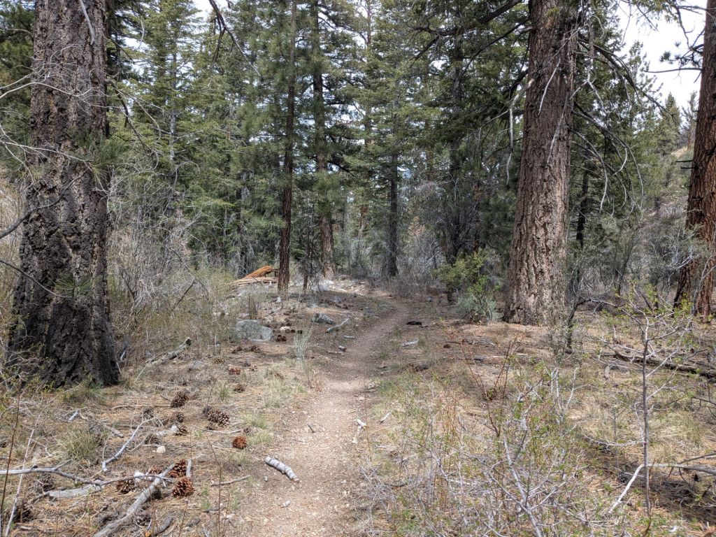
This morning, I emerged from my cocoon knowing I “only” had to hike 21 miles to reach highway 18 – the resupply access point to the towns of Big Bear and Big Bear Lake. I felt motivated to hike fast, thanks to my near-empty food bag. As I moved quickly, I enjoyed the mountain views and pine forests of this relatively high elevation part of the trail. This Colorado gal is back in her natural habitat!
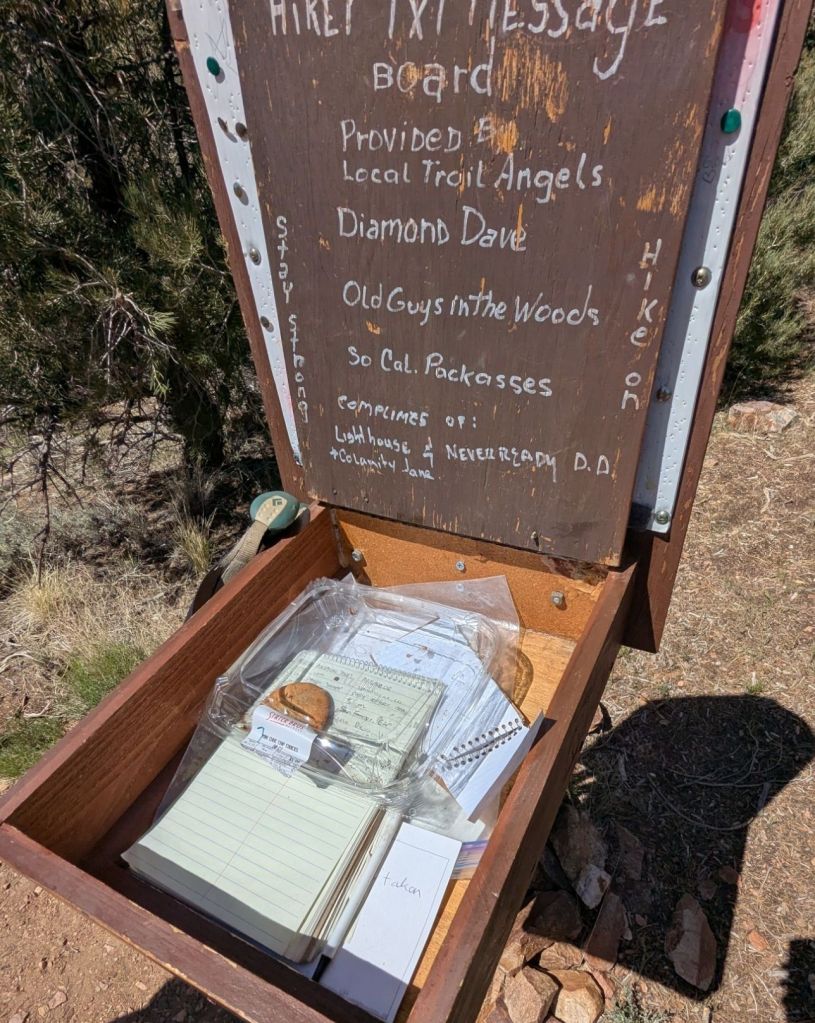
A hiker I met yesterday, Sian, and I reached the trailhead on highway 18 together. When we opened the trail register box to sign the log book, we found trail magic: chocolate chip cookies! We both screamed with delight. Just past the register box, we found additional trail magic – chips, brownies, and more! It was a wonderful and unexpected surprise.
Sian and I hitchhiked to Big Bear Lake together. At the highway crossing where we stood with our thumbs out, the wind gusts were crazy strong. I was thankful that a local woman pulled over to pick us up within 10 minutes.
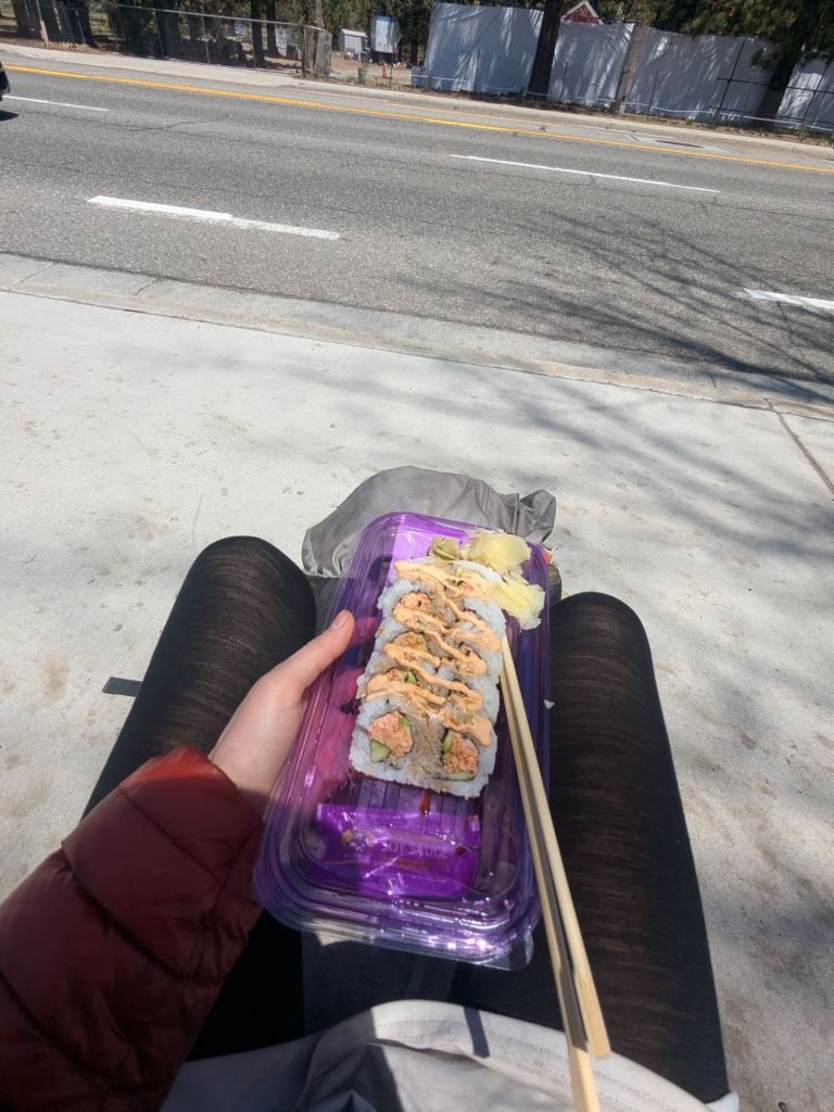
When I arrived in Big Bear Lake, I headed to the ITH Hostel where I’d booked a bunk. I showered, did laundry, and organized my gear. Then I headed out to dinner with a group of PCT hikers that I met just today at the hostel. I was glad for the company. I’ve been feeling a little down after the last few challenging days and needed the morale boost of an evening out and good conversation.
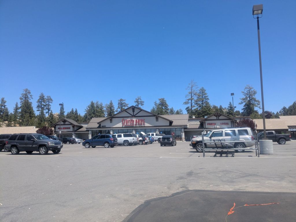
After dinner in Big Bear Lake, I took the free bus over to the neighboring town of Big Bear City. There’s a large supermarket there, perfect for resupplying for the upcoming 100-mile section to the next trail town, Wrightwood, CA. I got all the goodies, but perhaps bought a little too much. My food bag leaving town will be heavy!
However, after finishing my shopping, I walked out of the store just in time to see the last bus of the night pulling away. I missed it! I really didn’t want to walk the 3 miles back to the hostel along busy streets in the dark. I pulled out my phone to find a Lyft driver, but it seemed none were available.
At this point, I indulged myself in a moment of self pity. I sat down on the ground in front of the grocery store and had a good cry. It wasn’t really that I was upset about being stranded. I knew I would find a way back, even if it meant walking in the freezing cold or hitchhiking in the dark. But at that moment, I felt overwhelmed by the sensory overload and disorientation of arriving in a bustling town from the serene trail, combined with the mental fatigue from a few tough days on the trail.
While my body has felt fantastic and ready to hike big miles, my brain is struggling to keep up. Every day on trail includes so many decisions to make. Some of them – like decisions relating to water carries and heat – feel monumentally important to get right. It all weighs on my mind, even when my legs feel fresh and ready to carry any load.
I ducked back into the grocery store to hide from the cold. Eventually, I did find a Lyft driver and got back to the hostel. Mentally exhausted, I fell into bed. I passed out instantly into a deep and restorative sleep.
Day 14
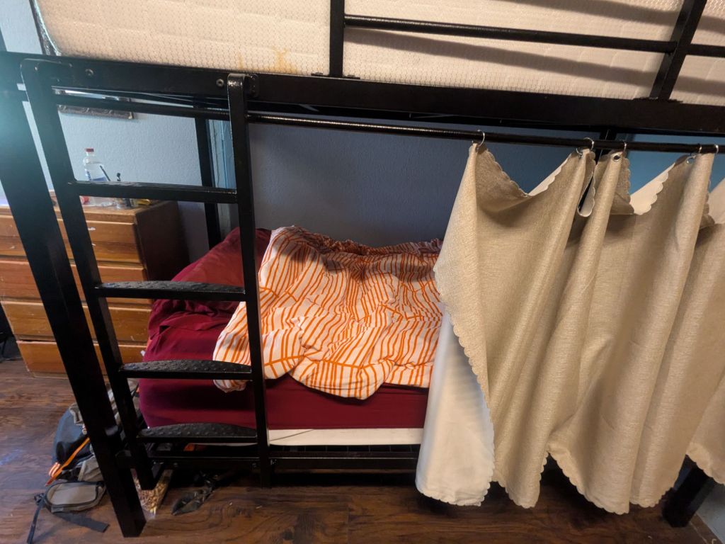
I awoke in my almost too soft hostel bunk. After two weeks of sleeping on a thin foam mat on the ground, lying on pillows and a mattress feels like sinking into quicksand.
It’s amazing what a good night of sleep will do. When I awoke, I felt substantially better than yesterday. Even so, I decided to take my first zero day of trail to rest and reset more fully before tackling the next section of trail.
A zero is a day on which a thru-hiker covers no miles. On a zero day, a hiker recovers, relaxes, does chores/errands, or just does something other than hike for a change. During my past thru-hikes, my body told me when I need a zero day, with aching feet or stiff legs. But this time, it was my exhausted mind that craved a good rest.
I enjoyed sleeping in late followed by a leisurely morning at the hostel and hot coffee. Then, I set out to catch the bus over to neighboring Big Bear city to run a few more errands that I didn’t get to last night.
I don’t understand the bus system in this town. None of the stops are marked by a sign or bench. Each time I’ve caught the bus it’s been by chasing it down waving my arms and yelling like a lunatic. Luckily all the bus drivers are friendly and helpful, and laid back enough to pull the bus over at an unofficial stop for a confused out-of-towner like me.
My errands included finding an eyeglasses repair kit and wristwatch – which was harder to find than you might think! It took a few tries, but after visiting several stores, I managed to track down a basic digital wristwatch. It will be very useful for setting a timer for my water treatment drops (they take 5 minutes to react after mixing and I don’t like pulling my phone out all the time). Furthermore, it’d be nice to have a way to set an alarm for the morning when I turn my phone off at night to save battery.

I also visited another grocery store to buy all the fixings to make a big taco dinner in the hostel kitchen to share with the two other thru-hikers there tonight, Jack and Twitch. It’s nothing fancy, but just what my soul needs in this moment.

Leave a comment