Since completing my 2016 Colorado Trail thru-hike, I’ve wanted to go back and hike the Collegiate Loop as a stand-alone backpacking trip. I felt hiking the loop fast could be a great way to push myself physically and boost my confidence as I prepare for some big trail adventures in the not-so-distant future. Considering my goals, I decided hiking the Collegiate Loop in under a week would be the perfect challenge for me.
However, in planning this trip, I struggled to find trip reports online from anyone who had done something similar. I mostly found Collegiate Loop trip reports from folks who took the standard two weeks to hike this route. To the other extreme, I found a few reports from incredible FKT athletes who ran or hiked the loop in considerably less than a week. But nothing in between. This left me thinking: surely I’m not the only person to wonder if hiking the Collegiate Loop in a week is a reasonable goal for a recreational backpacker?
So now, I am posting my trip report! I backpacked the Collegiate Loop solo in under a week in September 2024. I hope this trip report is useful to anyone planning a similar adventure!
Sharing is caring:
A word of caution: for anyone considering a similar trip, please note that hiking the Collegiate Loop in under a week is not a beginner-friendly backpacking trip. There’s no getting around it: it’s a whole lot of walking each day!
The Quick Details
- Total Distance: ~160 miles
- Total Elevation Gain: ~37,000 feet
- Start/End Location: Cottonwood Pass
- Direction: clockwise
- When I started: evening of Monday 9/2
- When I finished: evening of Saturday 9/7
- Total Time: a bit more than 5 days
- Wildlife seen: bull elk, mule deer, marmot, pika, downy woodpecker, Steller’s jay, grouse, and white-tailed ptarmigan
- Favorite Segment: CW03
- Least Favorite Segment: 11
- Proudest moment: hiking my first-ever 35-mile day and still making it to camp before dark!
- Lowest moment: hiding from a downpour inside a port-a-potty during the 6-mile road walk in segment 13!
- Number of times I fell: 3
- Number of blisters: zero!
- Number of days I was rained on: 3
- Number of times I was hailed on: 1
- Number of candy bars eaten: 6
- Miles hiked before someone mistook me for a CT thru-hiker: 1.2 (come on… I can’t possibly smell that bad yet!)
The Plan
Honestly, very little planning went into this trip. At the start of summer, I promised myself I would make time to hike the Collegiate Loop – IF there was a week with good weather where I had no major work or life-related commitments. By late August, I’d accepted that the loop wasn’t in the cards for me this year. But then the stars aligned during the first week of September and I decided to just go for it!
My plan came together very quickly, and I’m lucky I didn’t forget anything major in my whirlwind of packing and shopping. Less than 12 hours passed between deciding to hike the loop Monday morning and when I actually began hiking Monday evening.
I started my trip in the evening rather than in the morning. This was partially because that was the soonest I could get to the trail but also because I enjoy hiking during the golden hour before sunset. Starting in the evening also helped me position myself to get over two alpine passes on the first full day.
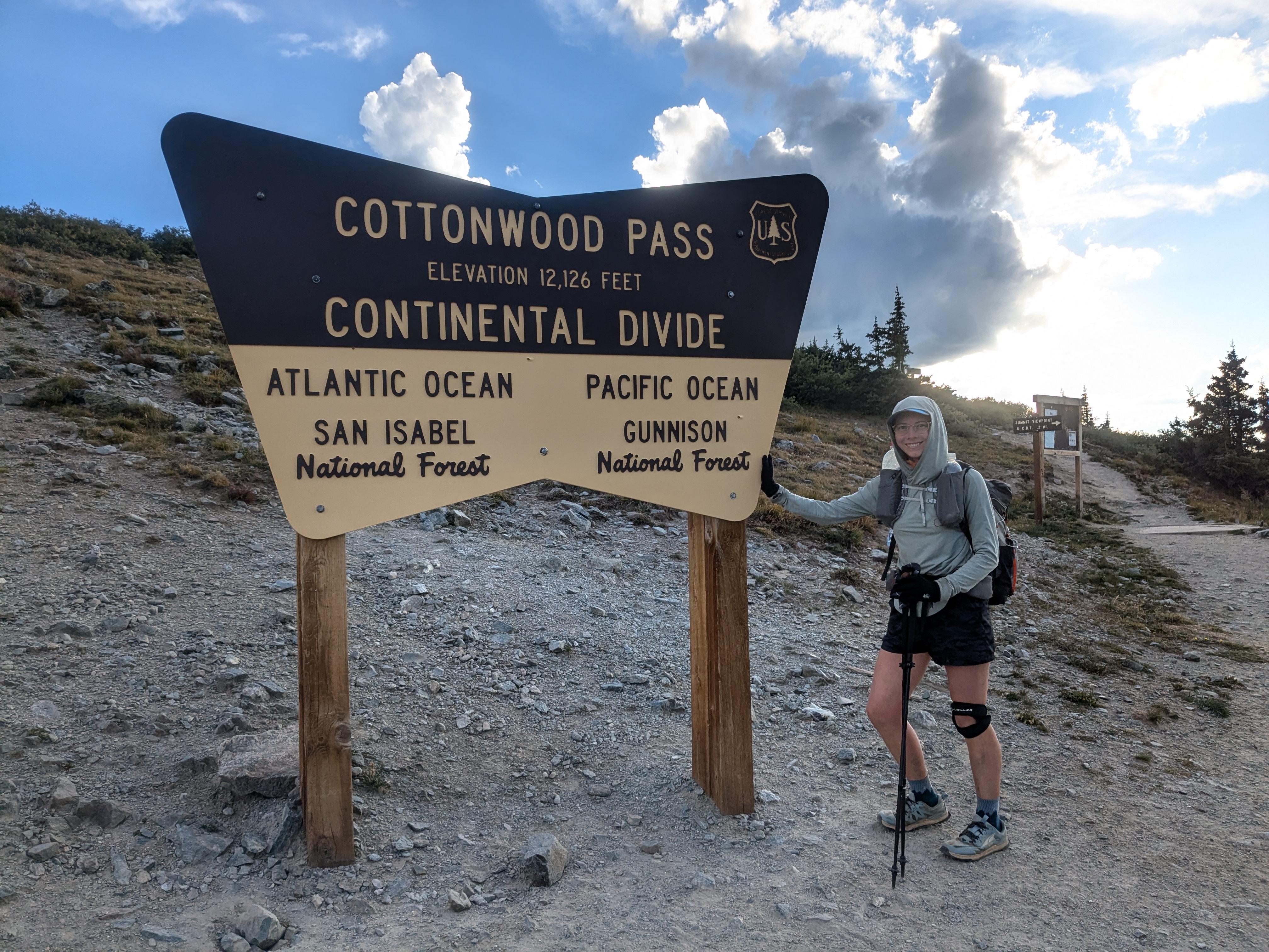
Though the Collegiate Loop is often hiked from the trail head at Twin Lakes, I chose to start at Cottonwood Pass. Why? I love the Collegiate West and wanted to start and end my trip on my favorite part of the trail. I chose to hike the loop clockwise, to experience the Collegiate West in the opposite direction from the last time I hiked it during my 2016 CT thru-hike.
Training:
I did not train specifically to hike the loop. However, I felt I was still in pretty good shape from training for a marathon a month earlier and various trail running and hiking adventures in the mountains over the summer. In the weeks leading up to this backpacking trip, my running mileage was much lower than usual due to some knee pain. While my knee was healing, I shifted my activities from running to hiking and lifting weights. I suspect this ultimately was better preparation for this trip than running.
What I Carried:
I tried to limit my packing to the essentials, since I knew I’d need to travel fast and light to finish the loop in under a week.
Big 4:
- Backpack: Gossamer Gear Fast Kumo 36L Fastpack
- Quilt: 20-degree Enlightened Equipment Revelation
- Pad: Thermarest Z Lite (shortened)
- Shelter: Most of my Big Agnes Fly Creek UL1 tent (fly, footprint, stakes, and poles only)
Additional Items:
- Food-related stuff: spoon, stuff sack, and 50-ft of 3mm cord for bear hangs
- Water-related stuff: Aquamira, 750 and 1000 mL Smartwater bottles, 2L Platypus
- Clothes in pack: puffy jacket, long underwear top and bottom, extra socks (2), extra undies (2), and wool headband
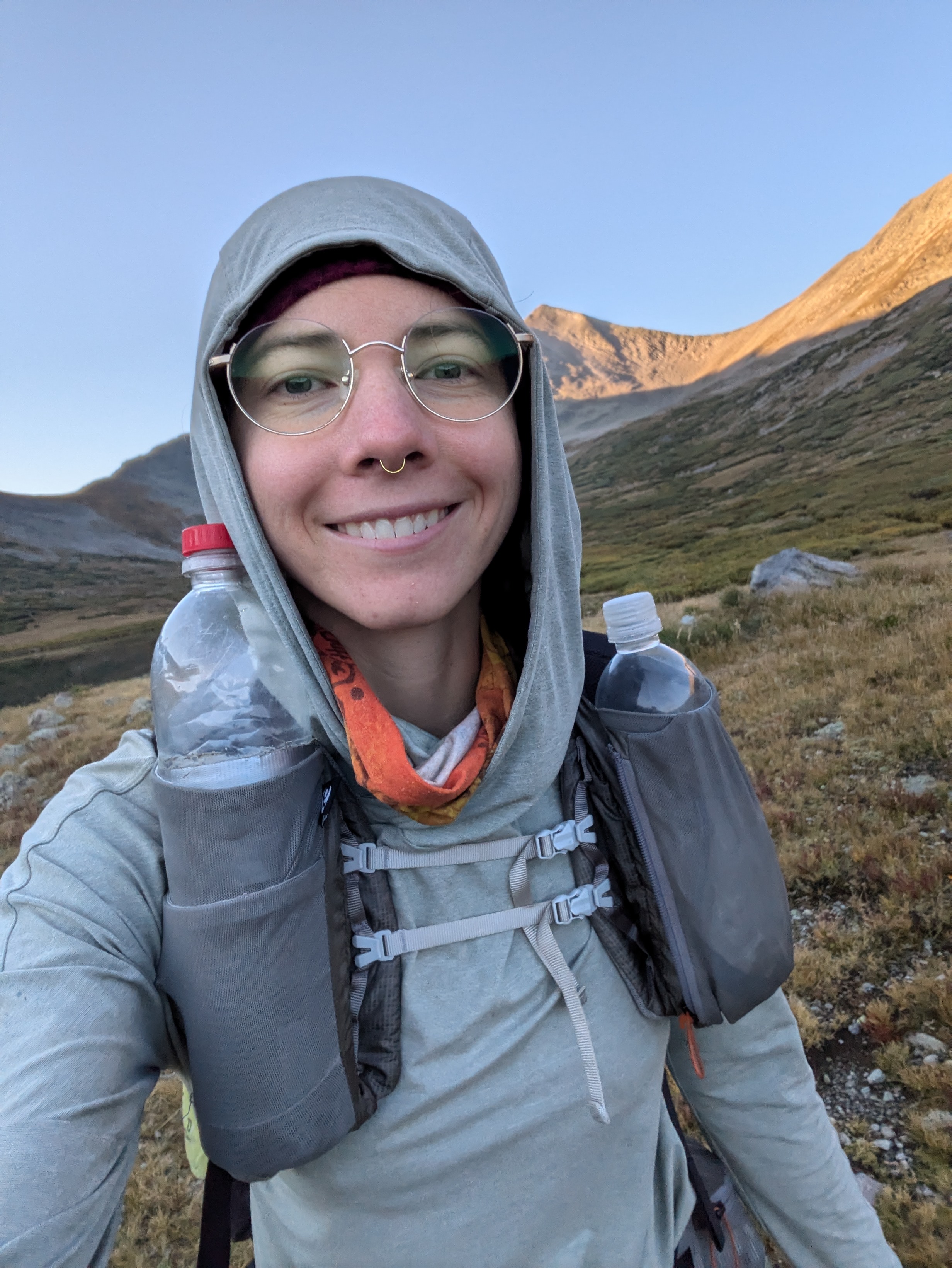
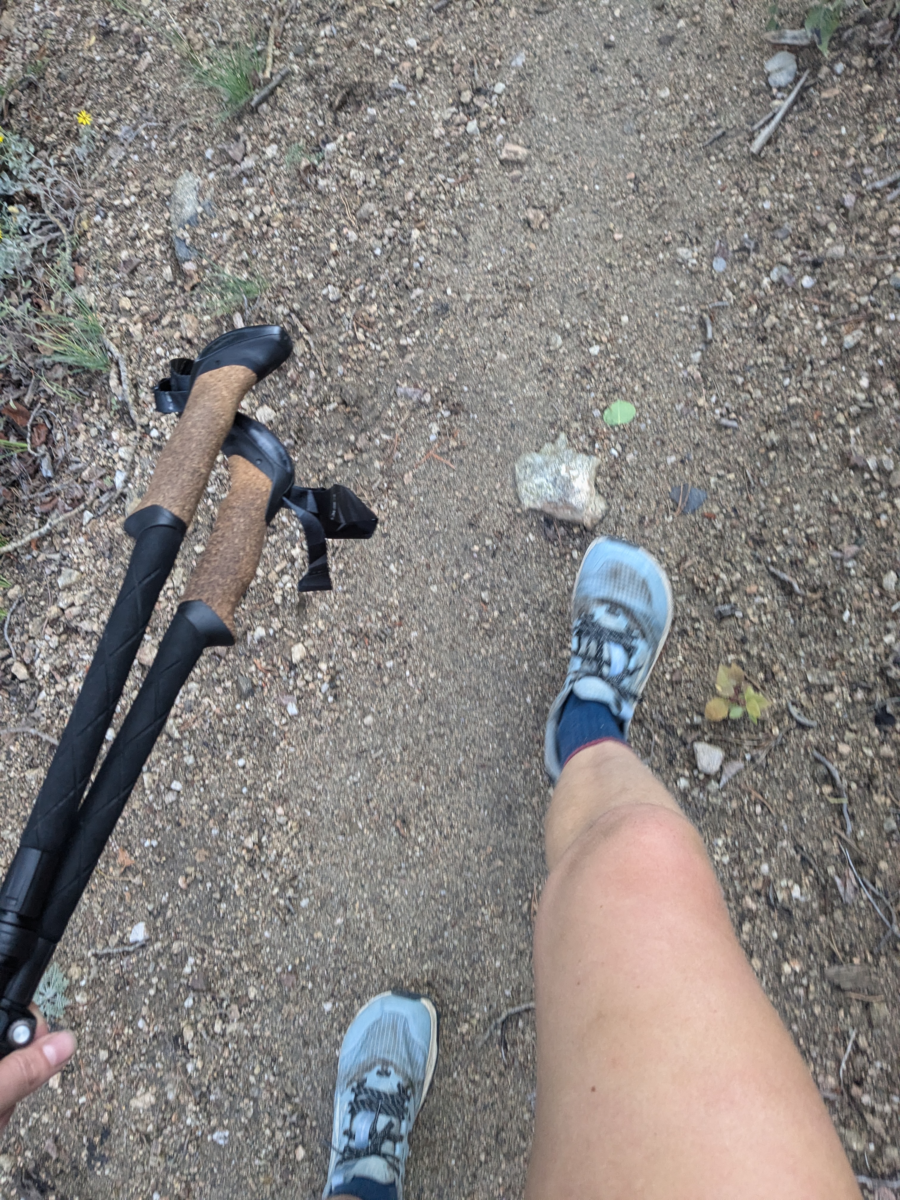
- Clothes worn: sun hoodie, shorts, Altra Lone Peak trail running shoes, wool socks, buff, running hat, glasses, knee brace, and gloves
- Rain gear: FrogToggs jacket, ULA rain skirt, and ULA pack cover
- Navigation: CT Databook and FarOut app download for the Collegiate Loop
- Electronics: cell phone, charger, headlamp, and battery bank
- Other: credit card and cash, toiletries, trowel & TP, homemade emergency/first-aid kit, and trekking poles
What I Ate:
I didn’t bring my backpacking stove on this trip, so all my lunches and dinners were cold and tortilla-based. I also ate small amounts often rather than three big meals. Overall, I ate a combination of classic backpacker fare (e.g., tuna packets, trail mix, peanut butter) and the type of on-the-go snacks I would normally eat during a long run (e.g., Cliff Bloks, bars, electrolyte drink mix). In hindsight, I wish I brought less “real” food and more snacks, bars, and candy. These things are easier for me to get down when I’m not hungry – and unfortunately, I had zero appetite on this trip, thanks to the combination of high elevation and a lingering sinus infection from the week before.
Here’s an example of what I ate each day:
- Breakfast: Honey Stinger waffle and/or granola bar
- Mid-morning snack: Cliff Bloks
- Late morning snack: protein bar and electrolyte drink mix
- Lunch: tortilla with tuna and/or peanut butter and granola
- Early afternoon snack: Cliff bar
- Late afternoon snack: protein bar and electrolyte drink mix
- Dinner: tortilla with tomato paste, pepperoni, and Daiya “cheese”
- Bedtime snack: candy or trail mix
Additionally, I drank roughly 5 to 8 L of fluids per day. Thanks to the rain, water sources were flowing. The longest dry stretches I encountered on the loop were only about 8 miles. However, if I hadn’t arrived at the Monarch Crest Visitor Center during its hours of operation (external link) and filled my bottles at the indoor drinking fountain, there would have been a ~14-mile dry stretch between Fooses Creek and the pond above Hunt Lake.
Resupply:
I started the loop carrying enough food for about 6 days and did not plan on resupplying. However, the trail goes by the Mount Princeton Hot Springs general store and the Monarch Crest store. Knowing I’d grab a bite in these locations, I packed more lightly on snack foods than I would have otherwise. Even so, I finished with a ton of food left, partially because I completed the loop faster than planned, and partially because I was not very hungry.
Some people that hike the Collegiate Loop mail a resupply box to the Mount Princeton Hot Springs general store or Monarch Crest store. These stores sell snacks but the selection is too small to shop for a full resupply, in my opinion.
Hiking in September:
Early September in the Collegiate Range was fantastic – I highly recommend hiking the loop this time of year. Fall colors were just starting at the higher elevations, but there were still wildflowers in bloom at the lower elevations. Additionally, the trail wasn’t terribly crowded as it was after Labor Day and school was back in session. Most of the people I encountered were late-season Colorado Trail thru-hikers or southbound Continental Divide Trail thru-hikers.
On the downside, hiking in September meant fewer daylight hours than in July or August. It was also pretty cold overnight with frost on the ground a few mornings. In hindsight, I would have been more comfortable with long pants for hiking, and perhaps a sleeping bag liner for some added warmth at night.
Daily Schedule:
Since I don’t love night hiking, I planned to get the most out of the daylight hours by hiking from dawn ’til dusk. In early September, that meant I’d have a maximum of 13-14 hours for hiking including breaks each day. Every morning, I woke up and packed in the dark around 5:30 am and began hiking at first light, between 6 and 6:30 am. I took many short breaks each day, to collect and purify water, eat lunch, eat dinner, and take in views/rest at the top of climbs. I aimed to reach my campsite each evening before it got fully dark, usually between 7 and 8 pm. Once I hung my bear bag and set up my tent, I’d read my data book, stretch, or jot down notes about the day. I tried my best to fall asleep between 9 and 9:30 pm so that I could get 8+ hours of sleep, since I tend to get groggy and grumpy on anything less.
Day-by-Day Trip Report
Day 1: Evening of Monday, 9/2
- Distance hiked: ~7 miles
- Start location: Cottonwood Pass
- End location: stealth camp somewhere north of Texas Creek
Day 1 was not a full day. I actually decided that I was going to hike the loop when I woke up Monday morning (hooray for last-minute plans!). Once I packed, grocery shopped, and drove the 4 hours to Cottonwood Pass, it was early evening. This gave me a couple hours to hike before dark, which was perfect to get in position to hit Lake Ann Pass the next morning.
The hike in was pretty but uneventful, with light, drizzling rain on and off. I crossed paths with a handful of SOBO Colorado Trail and Continental Divide Trail thru-hikers putting in some evening miles too. I picked a random spot to dry camp alone, not far past the final crossing of Texas Creek. Falling asleep was a challenge. I was kept up by first-night-on-trail jitters (i.e., what was that noise? A bear…?) and excitement about starting my trip. Also I hadn’t hiked nearly enough miles to make myself sufficiently tired to zonk out atop my thin foam sleeping pad on the slanted forest floor.
Day 2: Tuesday, 9/3
- Distance hiked: ~27 miles
- Start location: stealth camp somewhere north of Texas Creek
- End location: Twin Lakes, near the Collegiate E-W trail junction
This was the first full day of my trip and definitely the hardest. I struggled with the altitude going up and over Lake Ann Pass. Above tree line, I experienced mild nausea and had to stop at the end of each switchback to catch my breath. On the way down from Lake Ann Pass I took a nasty fall in the steep boulder field, bruising my shin and landing on my butt. Sitting on the trail, to tired and demoralized to get back up right away, I questioned what I was doing. Was I kidding myself thinking I could finish the entire loop in under a week?
The long downhill walk to Sheep Gulch Trail Head gave me time to recover physically and mentally before the next climb. However, it was mid-afternoon by the time I started heading up towards Hope Pass, and the cloud cover was looking thicker and grayer than ideal. Fortunately, as I approached the tree line, the clouds thinned out and revealed a blue sky above the pass. This gave me courage to continue upward.
Hope Pass was just as beautiful as the last time I hiked it 8 years ago. I stopped and ate my tortilla-based dinner to break up the long downhill after the pass, then continued on to my campsite at Twin Lakes, arriving well before dark. I slept much better, even on my thin sleeping pad with a lumpy rain jacket for a pillow. As I dosed off, my legs ached softly and pleasantly from the day’s miles.
Day 3: Wednesday, 9/4
- Distance hiked: ~29 miles
- Start location: Twin Lakes, near the Collegiate E-W trail junction
- End location: stealth camp near Silver Creek
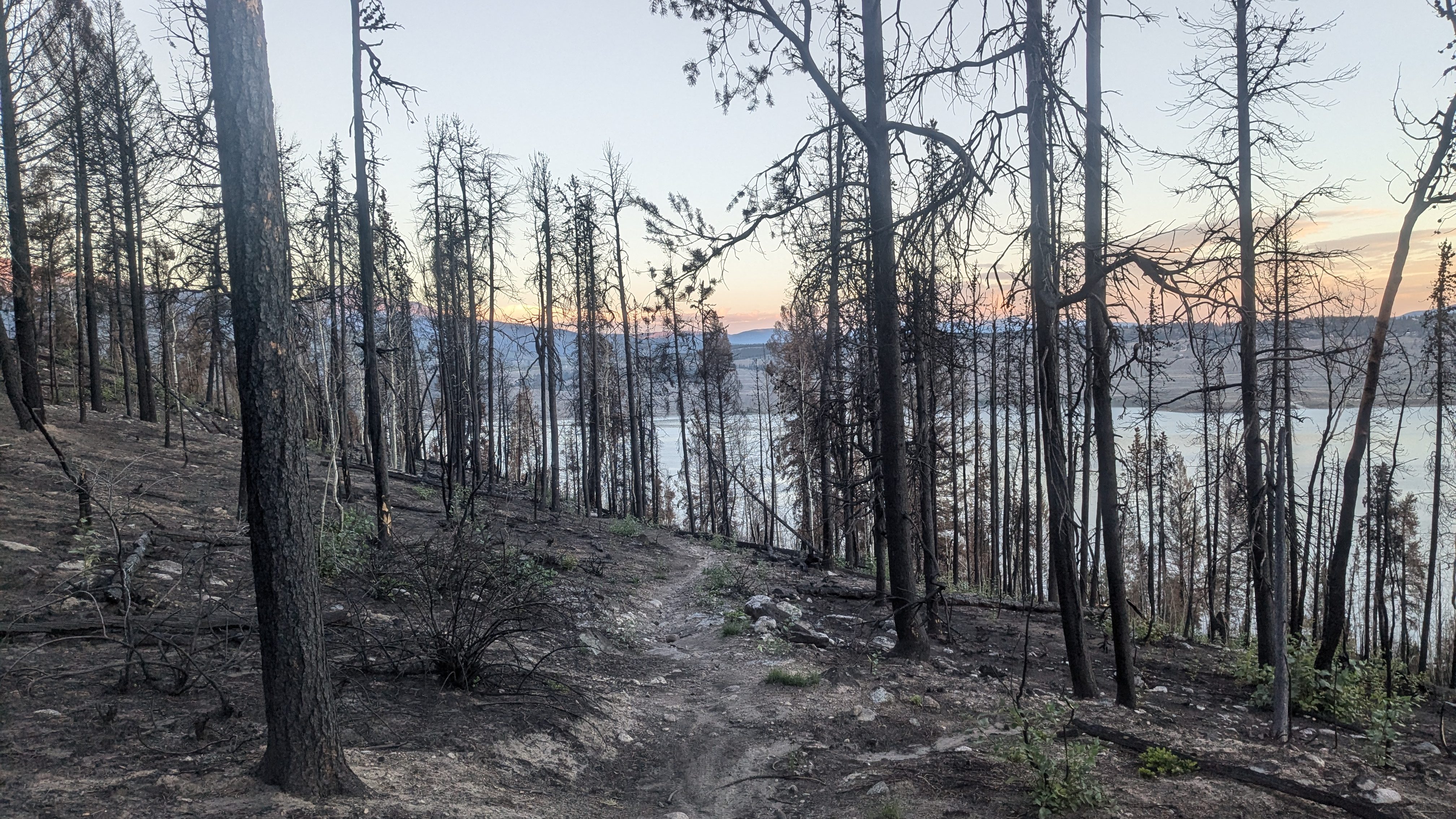
I began hiking shortly after first light. The trail followed the lakeshore, and the view of the still water below was enchanting in the early morning light. I reached the junction of the Collegiate East and West and hiked into a brand-new burn area from the Interlaken Fire earlier in the summer. Even though the freshly charred landscape was upsetting to see, the soft, ash-covered path was a welcome change for my sore feet. They felt achy and bruised after hiking over rocky passes on the Collegiate West the day before.
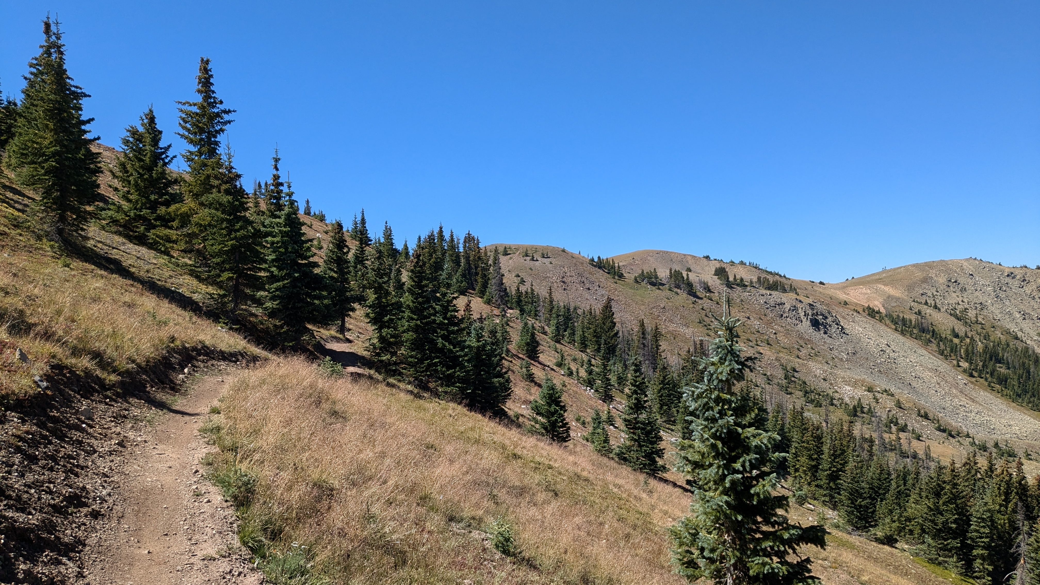
I ended the morning with a grueling, 5-mile uphill through lodgepole pine and spruce-fir forests. Climbs like this make me disagree with the general consensus among CT backpackers that the Collegiate East is easier than the Collegiate West. True, the Collegiate West’s climbs are higher and rockier. But the scenery on the West is so incredible that I stop focusing on the lactic acid burn in my legs and the way my lungs strain to take in enough air. Sometimes I don’t know if I’m out of breath because I’m hiking uphill or because the mountain views leave me breathless!
I’d expected thunderstorms this day, based on the weather forecast I’d seen before starting my trip. Fortunately, the only weather was some on-and-off drizzling that had me stopping repeatedly to change into and out of my rain gear. After many ups and downs on forested paths, I made a tasty pizza burrito for dinner at the Silver Creek Trail Head before starting my final climb of the day. This climb ascends onto the shoulder of Mount Yale and has some of the steepest trails of the entire loop. I started up the mountain at a slow, steady pace.
Before long, it was nearly dark, so I looked for a place to stop for the night. I picked a stealth campsite along Silver Creek, about a mile before the top of the climb. I’m glad I camped there rather than up on the ridge because there were thunderstorms overnight. Though I’d felt pretty good while hiking, the soreness caught up with me now that I’d stopped moving: everything from my hips to the tips of my toes dully ached as I dozed off.
Day 4: Thursday, 9/5
- Distance hiked: ~35 miles
- Start location: stealth camp near Silver Creek
- End location: Angel of Shavano Campground
On top of challenging myself to hike the loop in under a week, I also wanted to hike my first-ever 35-mile day on this trip. I decided this would be the day!
After waking to early-morning thunderstorms and failing to fall back asleep, I packed up my wet tent and started hiking, feeling more tired than ideal. However, the view from the top of the climb invigorated me more than a double-shot of espresso: all the valleys below were filled with clouds, making the surrounding 14ers look like islands in a sea of mist.
By 10 am, it started drizzling, so I stopped to put on my rain gear. The rain gradually intensified, and it even hailed for a bit! Luckily, I was on track to reach Mount Princeton Hot Springs by lunch time, where I could take an indoor break. But first, I faced a long, downhill road walk. Right as I reached the paved road, the rain started pouring down in sheets, flooding the trail. I am not proud to say I hid inside a port-a-potty at a trail head until the rain eased up a bit. The long, paved downhill to Mount Princeton Hot Springs was more challenging than I expected – my shins and knees ached, my pack was soaked, and I was damp and shivering beneath my rain gear.
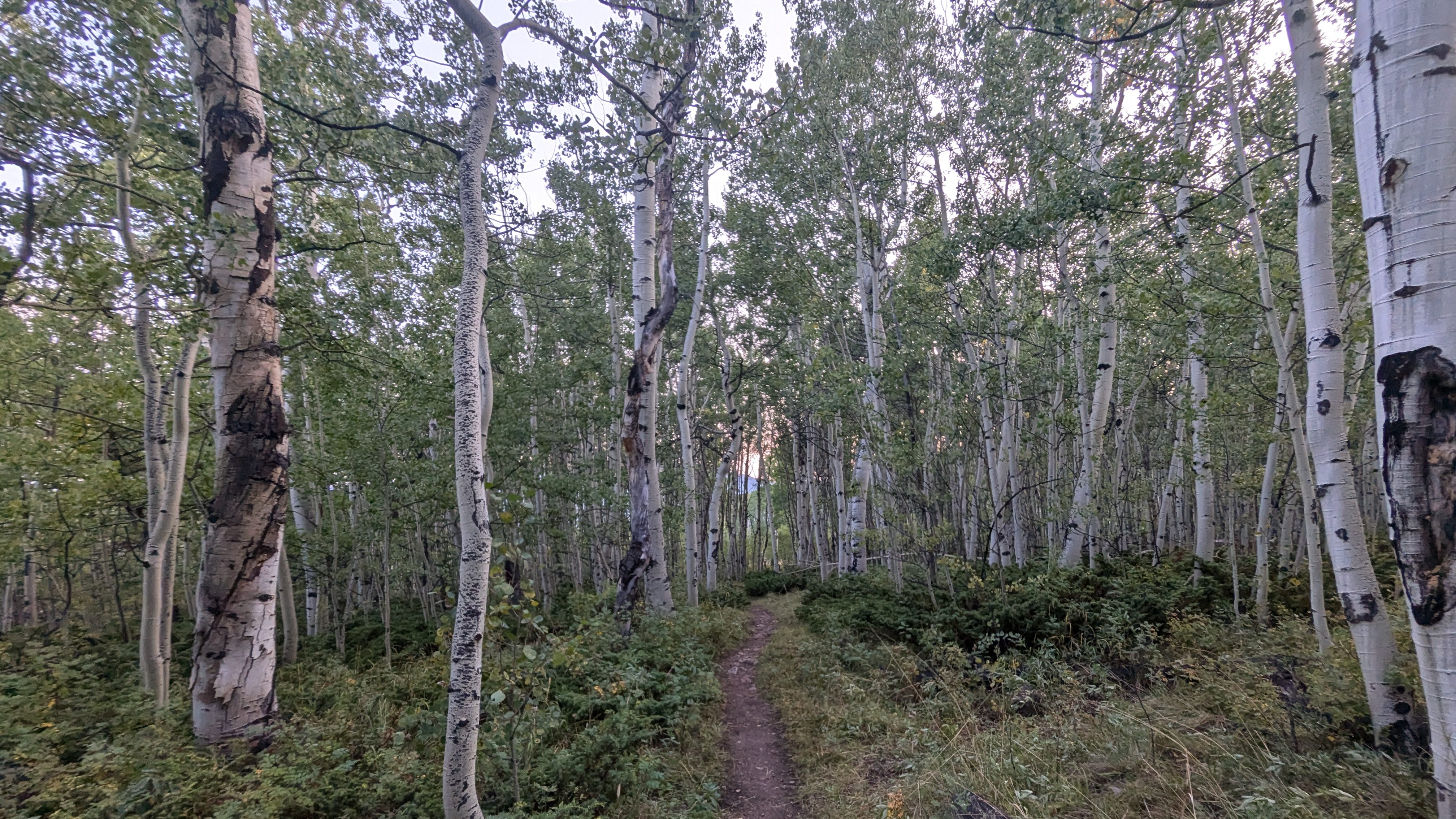
Fortunately, the rest of the day was a great improvement. After a hot meal and a nice long break under the awning at the general store, I continued hiking. Within half an hour, the sun came out! As I walked, I checked the elevation profile and was relieved to see the rest of the day was mostly a gradual uphill. My sore shins and knees would get a chance to recover. Best of all, the trail began winding through stands of towering aspen trees, which were simply magical to walk through during the golden hour before sunset.
This miserable, rainy day had turned itself around! In fact, by the end of the day, I was feeling so great that I was jogging and singing as I descended the trail into the Angel of Shavano Campground. I had hiked my first-ever 35-mile day – and still arrived at camp before dark! I celebrated with a late dinner at my campsite’s picnic table. After, I hung the most textbook-perfect bear bag, though sadly no one but me saw it since I hung and took down my bear bag in the dark.
Day 5: Friday, 9/6
- Distance hiked: ~34 miles
- Start location: Angel of Shavano Campground
- End location: stealth camp south of Chalk Creek Pass
This day was longer than planned. I figured I’d be sore after my 35-miler and want a shorter day. However, after spending the night on a nice, flat tent pad and sleeping in a bit, I felt re-energized. I felt like my body and mind were starting to adjust to hiking all day.
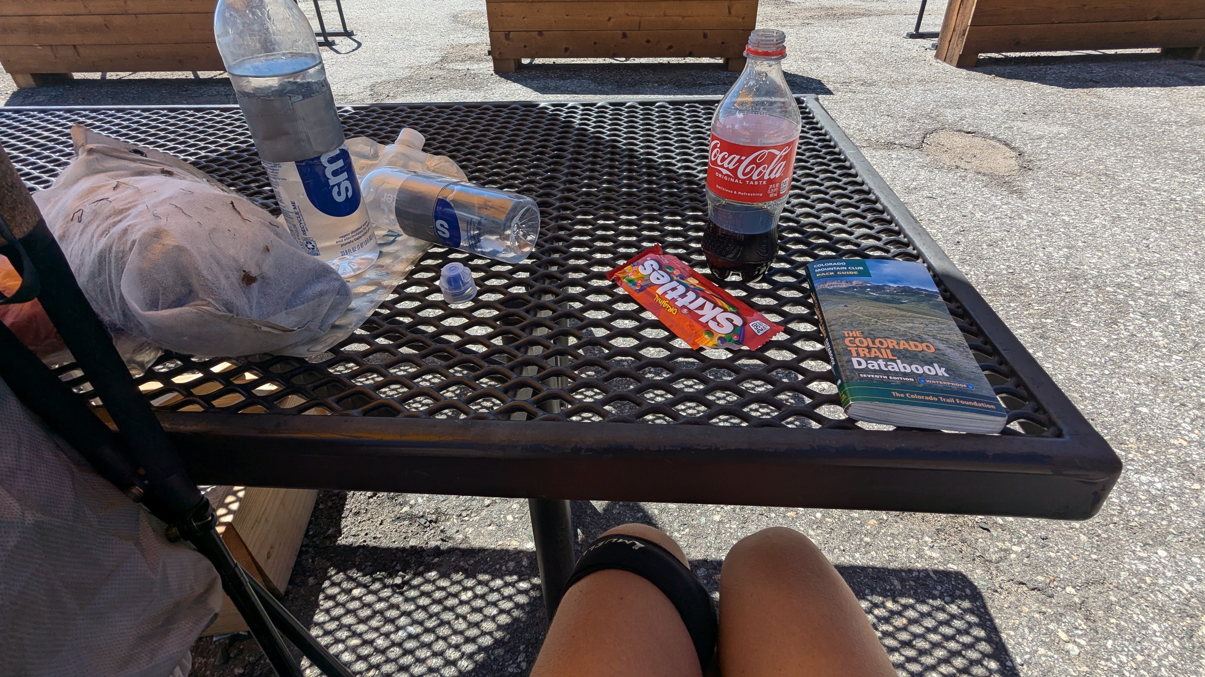
I made good time up the long, gradual climb leading to the southern junction of the Collegiate East and West, where I stopped for lunch and took in the view of the mountain range I’d just traversed. I stopped again at the Monarch Crest store in the early afternoon for soda and Skittles. Feeling caffeinated and replenished, I started the big climb up from Highway 50. And what a climb it was! There were at least 5 false summits on the way to the top, but it was all so beautiful that I didn’t care!
I reached my planned campsite at Hunt Lake earlier than expected. However, all the best campsites at this popular lake were already claimed. So I decided to take advantage of the remaining daylight and carry on a bit further. As motivation, I told myself that if I hiked for just two more hours today, I might catch sunrise from Chalk Creek Pass tomorrow morning. I filled my bottles from the lake, ate a quick dinner, and kept walking.
It was almost entirely dark when I arrived at my campsite, a small flat spot at the edge of a boulder field that I’d read about in the FarOut app comments. It was the perfect little cozy campsite for one: nestled between boulders and a stand of young conifer trees. Despite being exhausted, falling asleep was not easy. The previously pleasant soreness in my legs was now quite loud, and it was cold enough that I had to do sit ups wrapped in my quilt to generate enough body heat to fall asleep.
Day 6: Saturday, 9/7
- Distance hiked: ~30 miles
- Start location: stealth camp south of Chalk Creek Pass
- End location: Cottonwood Pass
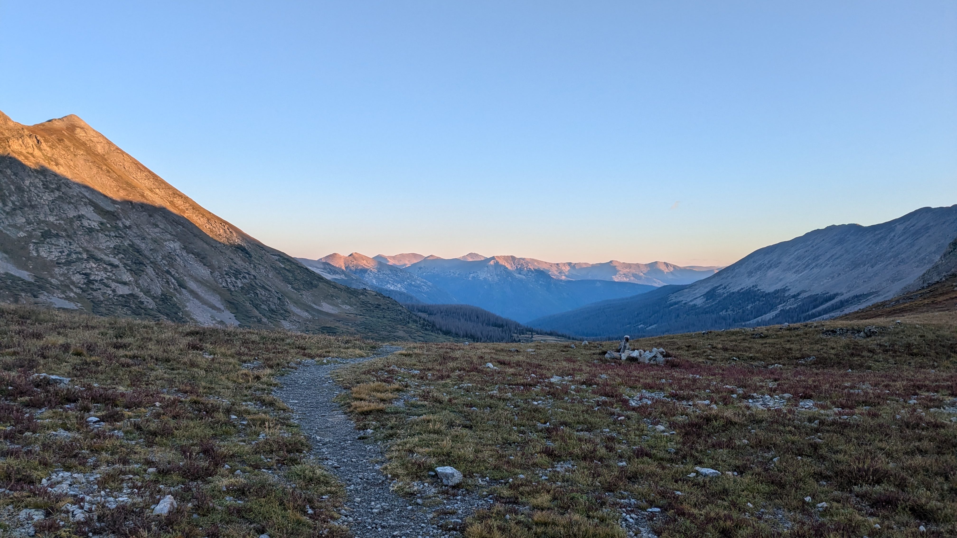
I estimate I camped around 11,500 feet, and when I awoke, the ground was covered in frost. Bundled up in all my layers, I started hiking up to the pass by headlamp. This was the only real night hiking I did on this trip. However, as I topped out the pass in the growing pre-dawn light, I realized that actual sunrise would not come for hours due to the steep surrounding mountains. So much for my plan to watch the sunrise from the pass.
I had not intended to finish the loop on this day. However, I was way ahead of schedule and reached my originally planned campsite near Tin Cup Pass well before noon. With 14 miles already under my belt, I felt up for another 30-mile day. Furthermore, the weather forecast predicted blue skies today and thunderstorms tomorrow. Since most of the remaining miles were above tree line, I reasoned the safest choice was to finish the loop today in one big push!
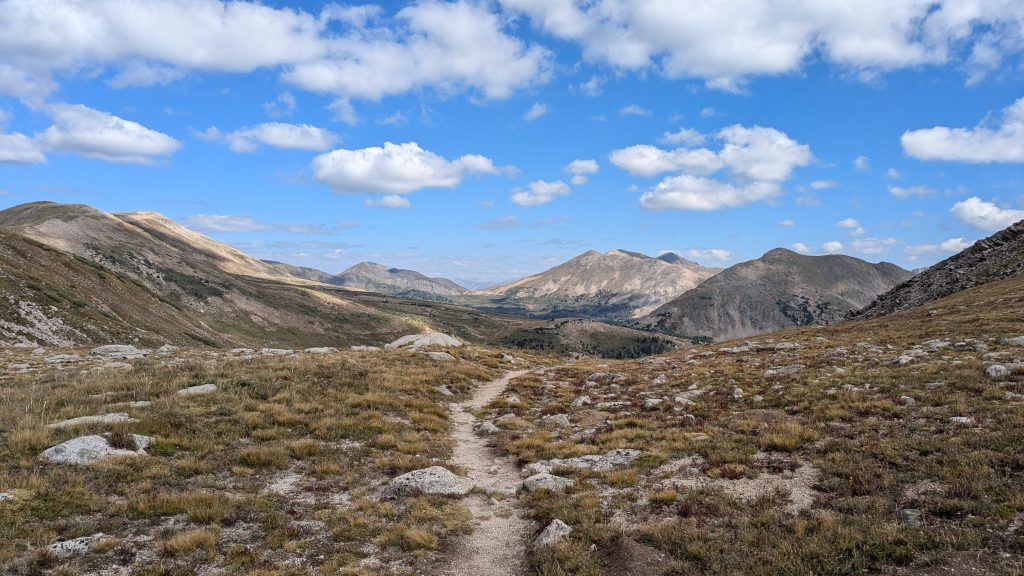
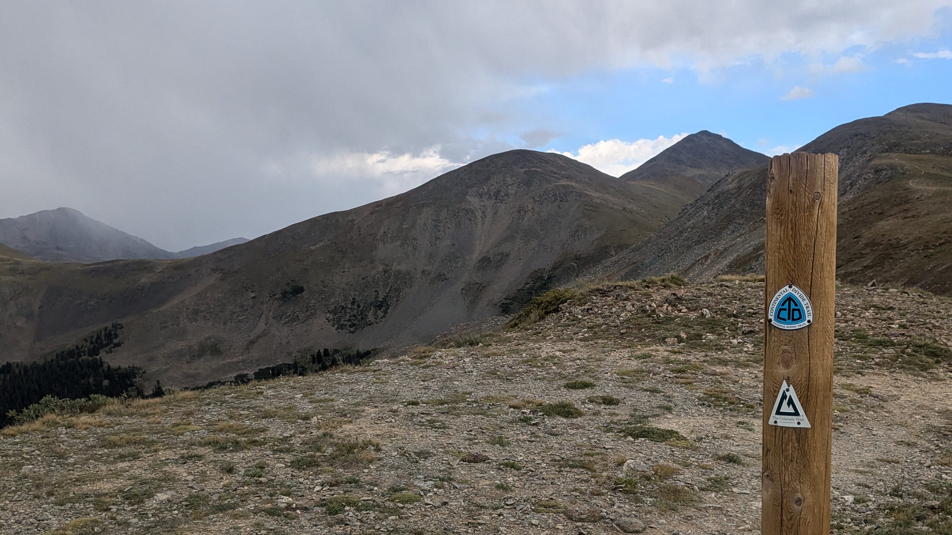
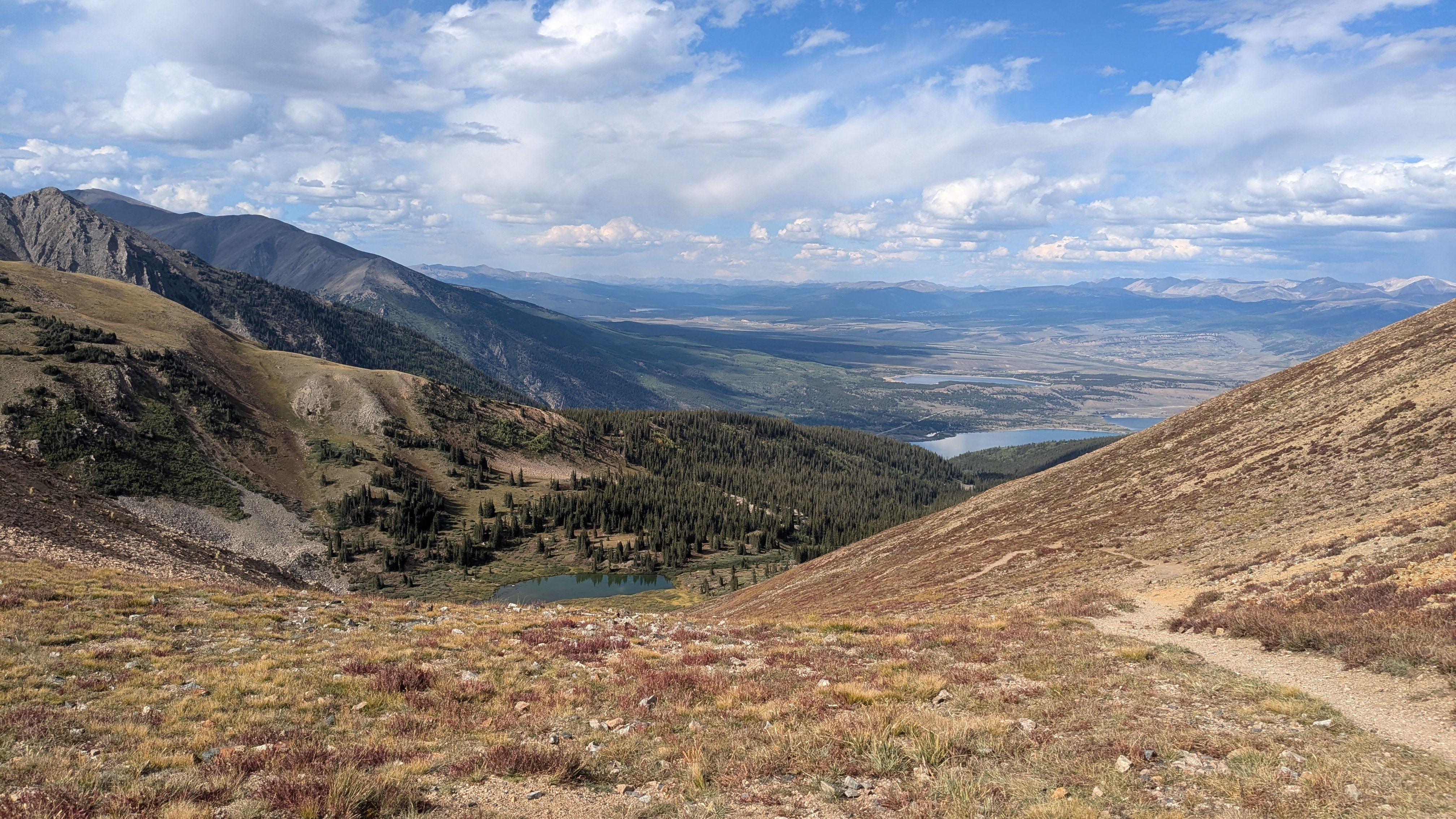
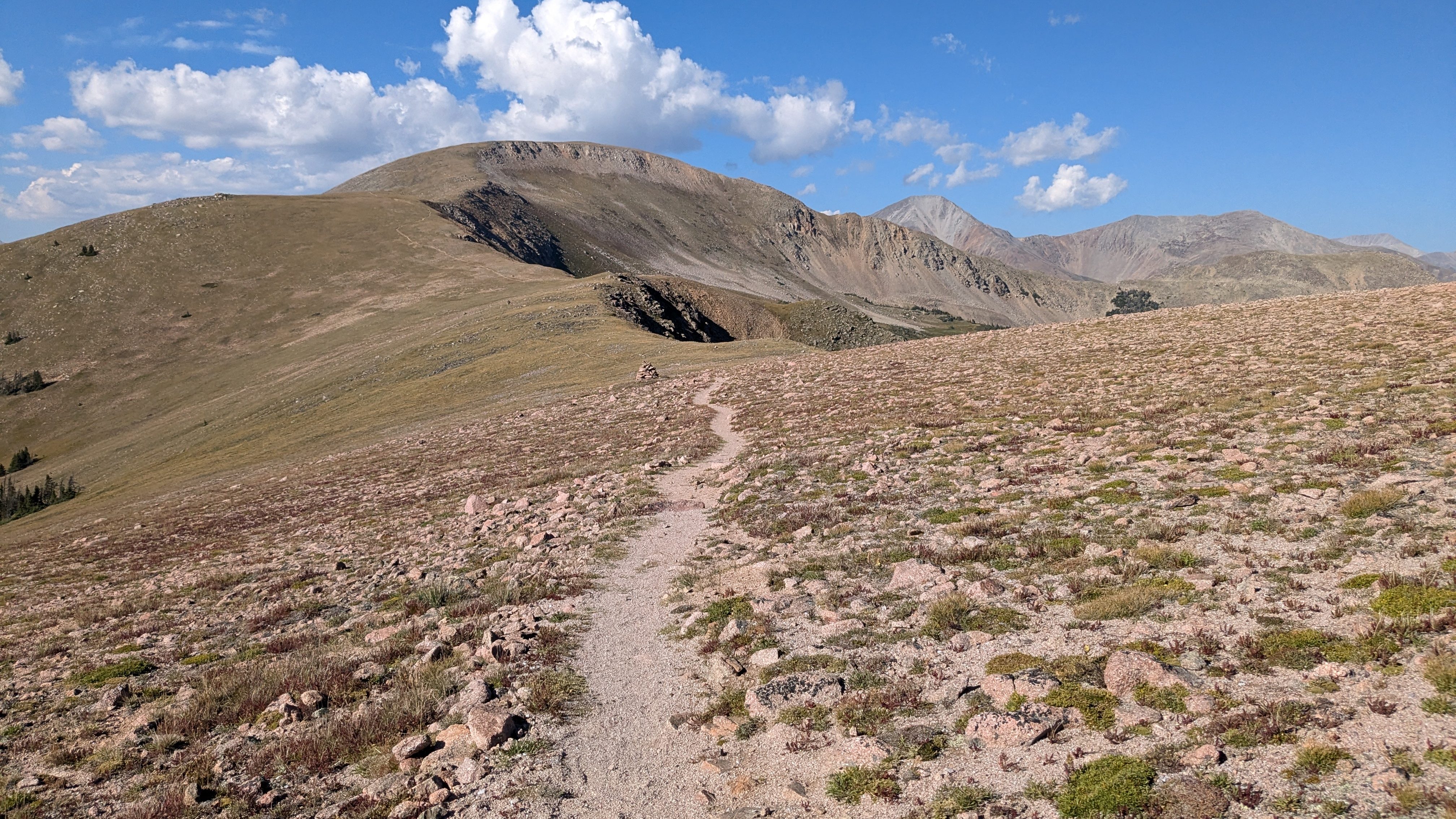
I closed out my trip hiking my favorite segment, CW03. I’ve now hiked this segment thrice and I love it more each time! Nearly the entire 16-mile segment is above 12,000 feet, and the geology of this area is fascinating. The trail traverses granite and basalt boulder fields and in several places, the landscape is peppered with massive chunks of white marble. Best of all, autumn was already in full swing above 12,000 feet. The usually-green alpine tundra was instead brilliant shades of red and gold!
I hiked slower than usual through this section – partially because I knew I was almost done, partially because I stopped for lots of photos, and partially because I forgot to eat regularly and was feeling depleted. I reached Cottonwood Pass before sunset, nearly the same time of day I’d started the loop on Monday evening. Sunburnt and tired, but giddy over accomplishing my goal, I got in my car. I drove down the winding paved road to Buena Vista for a well-earned post-hike dinner.
Post-Hike Reflections
Perhaps I shouldn’t have been surprised, I was caught off guard by how tired I felt after this hike. Driving home, I realized I was too sleepy to make the 4-hour trip, so I pulled over to sleep in the back of my car. I had not expected this, having committed to getting 8+ hours of shut-eye each night. However, my quality of sleep was sub-par on this trip, for a variety of reasons.
If I were to do this hike again…
Here’s what I would do the same:
- Hike in late summer! Early September was beautiful, non-crowded, and the thunderstorms weren’t that bad
- Go stove-less
- Hike solo
- Stay flexible – I’m glad I adjusted my plans when needed based on the weather and how I was feeling
- Listen to my body – I pushed myself when I felt up for it, and took breaks/slowed down when I needed to
- Stay at the Angel of Shavano campground! A toilet, tent pad, potable water, and picnic table felt like extreme luxury
Here’s what I would do differently:
- Bring a sleeping bag liner for added warmth at night
- Wear long pants for hiking
- Pack more easily-digestible snack foods for eating on the go
- Start the trip on a morning instead of an evening – while I love sunset hikes, spending the extra night on the trail probably just made me extra tired
- Night hike – while it’s not my favorite thing, I actually kind of enjoyed hiking before sunrise on the last morning of the trip! In hindsight, early-morning night hiking would give me more sunrises in pretty places
- Hike counterclockwise (though either direction is fine, I’d like to try the loop in the other direction, should I hike it again!)
Until then, happy trails!
Have you hiked the Collegiate loop or are you planning on hiking the Collegiate Loop? Tell me about it in the comments section below!

Leave a comment